As you research into the world of geospatial analysis, you may find yourself limited by the capabilities of Google Earth Engine. Whether it’s due to cost, licensing restrictions, or the need for greater data control, you’re not alone in seeking alternative solutions. You’re about to discover a range of powerful platforms that offer similar or additional features, empowering you to unlock new insights and take your analysis to the next level. From satellite data analysis to machine learning and cloud computing, these alternatives will revolutionize the way you approach geospatial data analysis.
Key Takeaways:
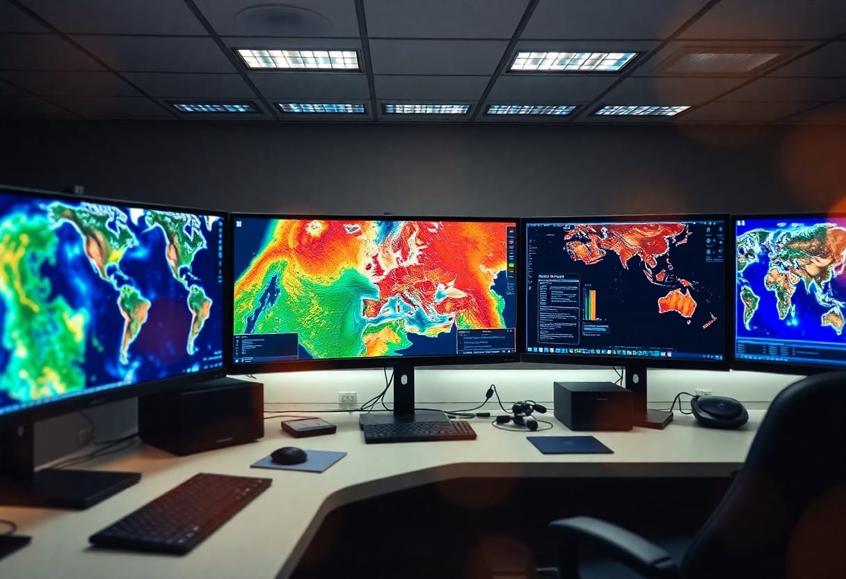
- Advanced Geospatial Analysis: Alternatives to Google Earth Engine offer powerful tools for accessing, analyzing, and interpreting satellite imagery and other environmental datasets, enabling users to monitor environmental changes, conduct in-depth analyses, and make informed decisions.
- Cloud Computing and Big Data Processing: These platforms leverage cloud computing and big data processing to enable users to process and analyze large datasets, providing insights that were previously unattainable, and helping in the proactive management of natural resources and disaster response.
- Customization and Integration: Many alternatives offer customizable solutions for diverse industry needs, user-friendly interfaces for easy data visualization, and strong emphasis on data security and system integration, making them versatile for a wide range of applications.
General Concepts: What It Is and How It Works
For geospatial data analysis, platforms like Google Earth Engine and its alternatives provide access to satellite imagery and tools for analyzing it. These platforms allow for tasks such as big data processing, pixel-level analysis, cloud computing, and more, enabling users to monitor environmental changes, conduct in-depth analyses, and make informed decisions.
Big Data Processing
To process large volumes of satellite data, platforms utilize cloud computing and machine learning algorithms. This enables users to analyze changes on the Earth’s surface, including vegetation changes, urbanization monitoring, and disaster assessment, providing insights that were previously unattainable.
Pixel-Level Analysis
About the detailed analysis of each part of the image, platforms enable users to identify specific crop health issues, track deforestation activities, and monitor biodiversity. By analyzing individual pixels, you can obtain highly localized insights that can be used to take targeted actions.
This level of analysis is particularly useful in agriculture, forestry, and environmental monitoring, where localized insights can inform decisions on irrigation, pest management, and conservation efforts. By examining individual pixels, you can gain a deeper understanding of the complexities within an image, allowing for more accurate and effective decision-making.
Cloud Computing and Developer Interfaces
Some geospatial data platforms, including Google Earth Engine and its alternatives, operate in the cloud, reducing the requirements for user computing resources and allowing for large-scale data processing even on regular computers.
Cloud Computing
Developer-friendly cloud computing enables you to process large datasets without the need for powerful local hardware, facilitating collaboration and global cooperation in tackling environmental challenges.
Developer Interfaces
Developer-centric APIs provide flexibility, enabling you to create specialized workflows, integrate geospatial data with business intelligence tools, or build user-friendly interfaces tailored to specific industry needs.
For instance, you can leverage APIs to automate data analysis, develop custom applications, or integrate geospatial data with your existing systems, making it easier to incorporate geospatial insights into your decision-making processes. This level of integration is particularly beneficial for companies looking to harness the power of geospatial data without requiring in-depth technical expertise.
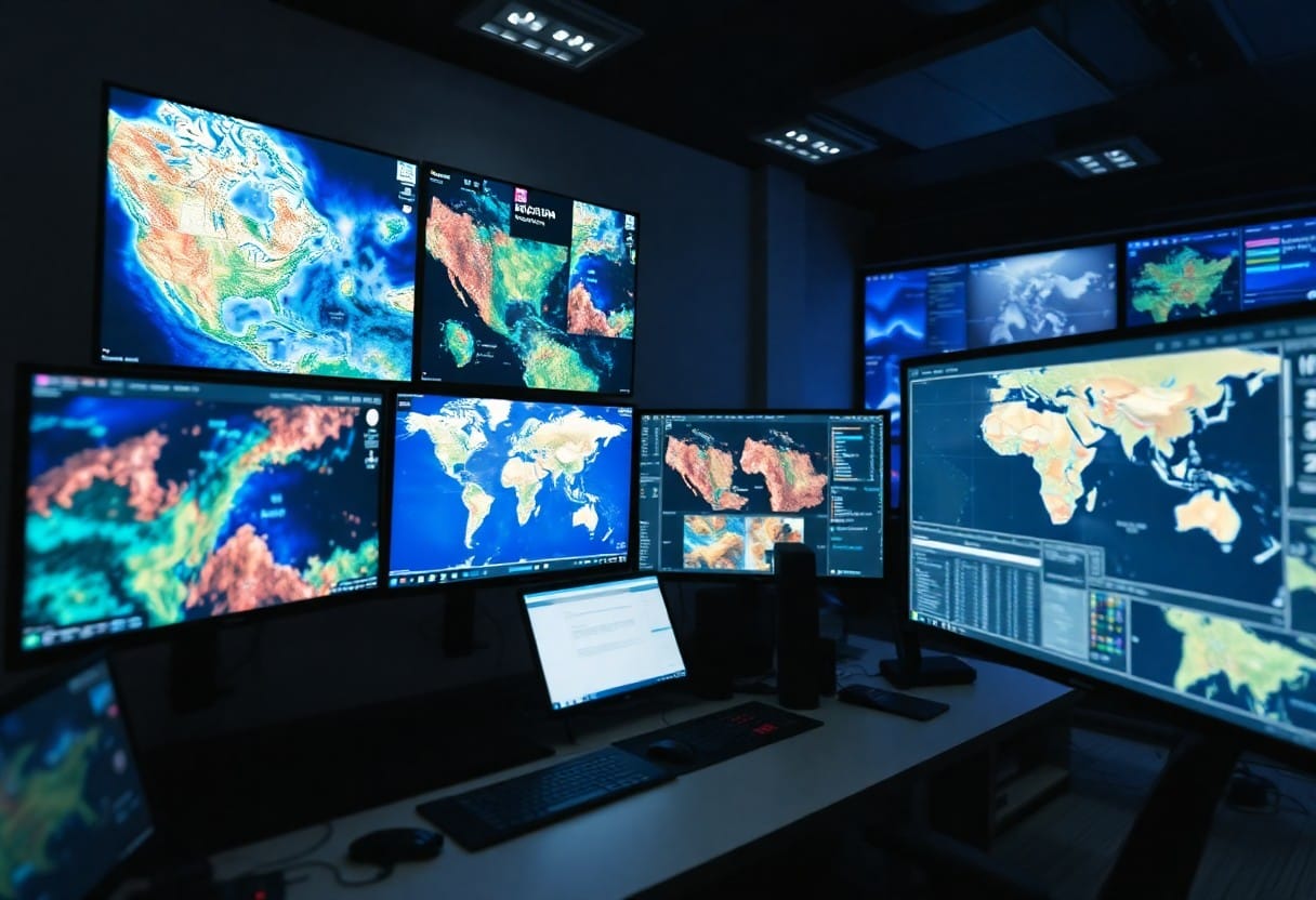
Data Sources and Access
Despite the numerous alternatives to Google Earth Engine, one common thread among them is the diversity of data sources and access options. These platforms provide access to satellite images, aerial photos, and environmental datasets from organizations like NASA, ESA, and NOAA, spanning several decades. This enables long-term monitoring and trend analysis, as well as the ability to import custom data, allowing you to integrate local datasets with global satellite data for tailored insights.
Satellite Images and Environmental Datasets
Against the backdrop of increasing environmental concerns, these platforms offer a wealth of satellite images and environmental datasets. By leveraging these resources, you can monitor environmental changes, track deforestation, and analyze climate patterns, among other applications. The ability to access such datasets is critical for informed decision-making in areas like urban planning, agriculture, and environmental conservation.
Importing Custom Data
After selecting a platform, you may need to import custom data to integrate with global satellite data. This feature is particularly useful for organizations with existing datasets, as it enables you to combine local knowledge with global insights. By importing custom data, you can create tailored solutions that cater to your specific needs, whether it be for climate research, urban planning, or disaster response.
Importing custom data also allows you to leverage your existing datasets, reducing the need for redundant data collection and processing. This not only saves time and resources but also enables you to focus on high-level analysis and decision-making. As you explore the alternatives to Google Earth Engine, consider the importance of custom data importation and how it can enhance your geospatial analysis capabilities.

Types of Analysis and Use Cases
Once again, you’ll find that the alternatives to Google Earth Engine often support a wide variety of analytical methods. Knowing which type of analysis to apply depends on your specific use case and research question. Here’s a breakdown of some common types of analysis and their corresponding use cases:
| Type of Analysis | Use Cases |
|---|---|
| Time-Series Analysis | Climate research, monitoring land use changes, detecting deforestation |
| Machine Learning Algorithms | Classifying land cover, assessing flood risk, predicting crop yields |
| Pixel-Level Analysis | Agriculture, forestry, environmental monitoring |
| Big Data Processing | Urban planning, disaster assessment, natural resource management |
Time-Series Analysis
About tracking changes over time, time-series analysis is a powerful tool for understanding patterns and trends in geospatial data. By analyzing changes in satellite imagery over time, you can identify shifts in land use, monitor environmental changes, or detect early signs of deforestation.
Machine Learning Algorithms
Types of machine learning algorithms, such as supervised and unsupervised learning, can be applied to geospatial data to identify patterns, classify land cover, or predict outcomes. These algorithms are particularly useful for tasks that require automated feature extraction, object detection, or change detection.
Another key benefit of machine learning algorithms is their ability to handle large datasets and identify complex relationships between variables. By combining machine learning with geospatial data, you can develop predictive models that inform decision-making in areas like agriculture, urban planning, and environmental conservation.
Top Alternatives to Google Earth Engine
Not all geospatial analysis tasks require Google Earth Engine. In fact, there are several powerful alternatives that offer similar or additional features, catering to specific needs and preferences. Let’s explore these top alternatives, their capabilities, and main application areas.
FlyPix AI
One of the most advanced alternatives to Google Earth Engine is FlyPix AI, which focuses on geospatial technology, turning complex aerial images into actionable, geo-referenced insights through advanced AI. With its platform, you can improve operations in sectors like government, construction, and agriculture by providing accurate object detection, tracking, and monitoring solutions.
FlyPix AI’s technology equips you with tools for thorough object analysis, crucial for environmental monitoring, urban planning, and infrastructure management. Its AI models are adaptable to custom use cases, allowing you to customize solutions according to your industry-specific needs, enhancing both flexibility and relevance.
Sentinel Hub
On the cloud-based platform Sentinel Hub, you can access satellite data, including Sentinel, Landsat, MODIS, and other popular sources. This platform is particularly useful for researchers, developers, and organizations that need large-scale satellite data to monitor and assess environmental conditions, agricultural productivity, and land use dynamics.
Another significant advantage of Sentinel Hub is its optimized handling of large volumes of data, ensuring fast processing and access to analysis results. Its capabilities make it suitable for tasks such as environmental monitoring, agricultural management, and land use analysis, where real-time data access and efficient processing are crucial.
Planet Labs
Earth observation has become more accessible with Planet Labs, which provides high-resolution satellite data with daily updates, offering a comprehensive view of the Earth’s surface. This commercial platform is suitable for organizations that need to track dynamic changes, such as urban development or environmental shifts, with up-to-date and accurate data.
At Planet Labs, you can access high-resolution imagery for sectors like agriculture, forestry, infrastructure monitoring, and disaster management through a subscription model. Its ability to deliver timely information helps organizations make informed decisions, whether it be for assessing crop health, managing natural resources, or responding to natural disasters.
Conclusion
Hence, you now have a comprehensive understanding of the top 10 powerful alternatives to Google Earth Engine for advanced geospatial analysis. These platforms offer a range of capabilities, from big data processing and pixel-level analysis to cloud computing and developer interfaces. By leveraging these alternatives, you can unlock new insights, streamline your workflow, and make more informed decisions in your field. Whether you’re a researcher, developer, or organization, there’s an alternative on this list that can help you achieve your goals and drive meaningful change.

