Description
Bankura District Shapefile – Comprehensive GIS Data for Professionals and Researchers
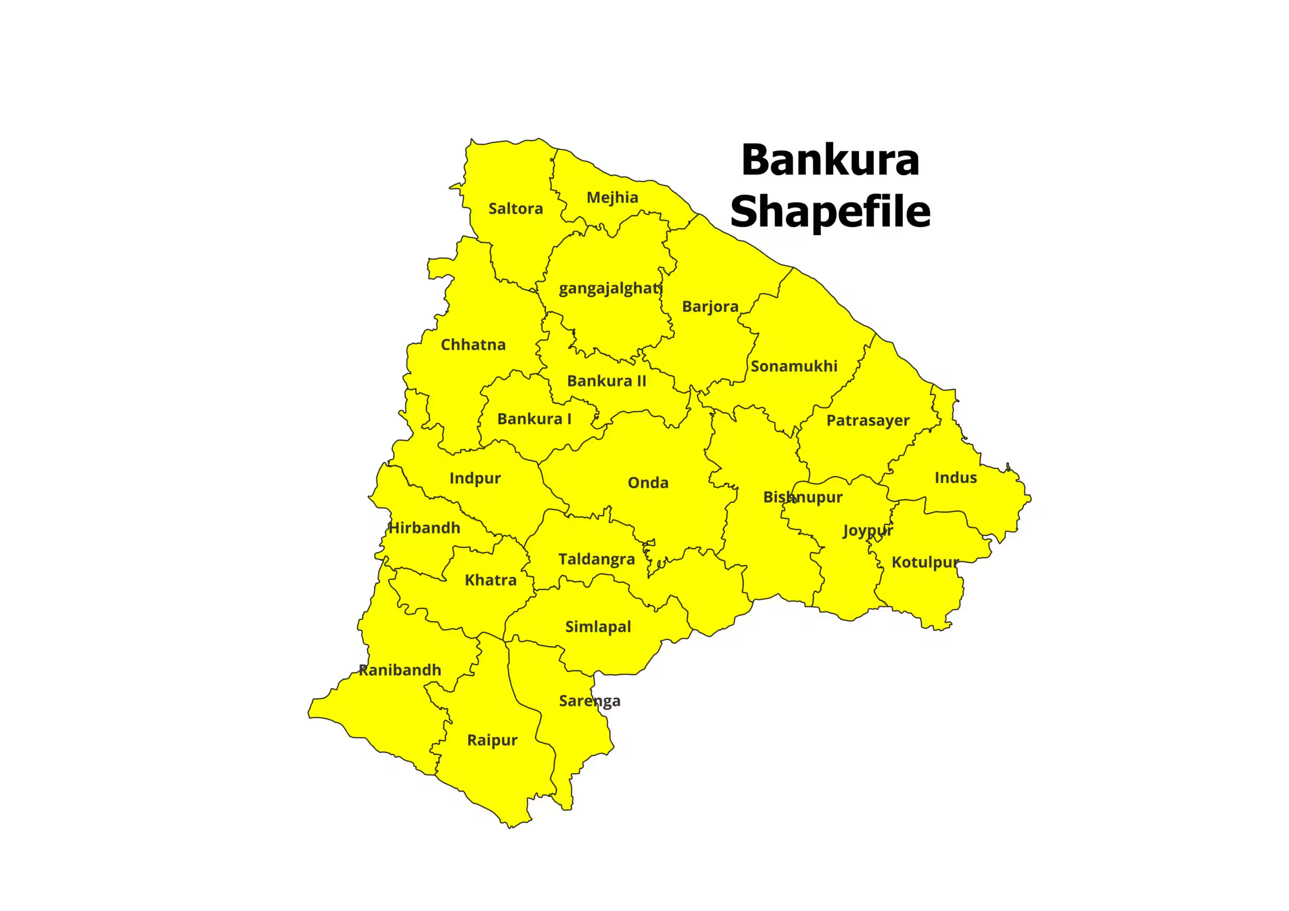
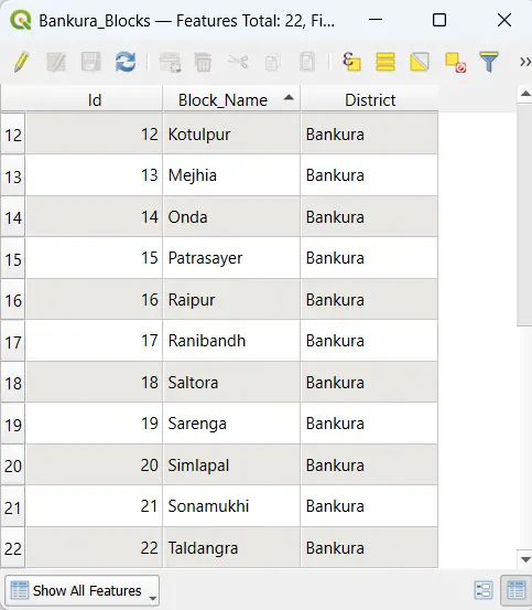
Access the most precise and detailed Bankura District Shapefile, tailored for GIS professionals, researchers, and planners. This shapefile provides accurate administrative boundaries and block-level divisions, making it an essential tool for spatial analysis and development planning.
Key Features:
- Complete shapefile of Bankura District, including all administrative blocks.
- Fully compatible with popular GIS platforms like QGIS, ArcGIS, and MapInfo.
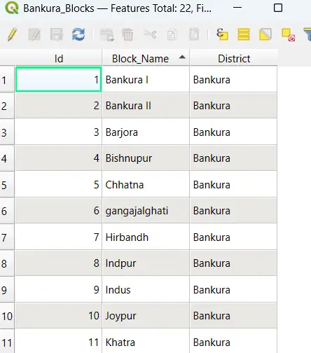
- Includes essential files (.shp, .dbf, .shx, .prj) for effortless integration.
- Ideal for research, urban planning, environmental studies, and policy-making.
Steps to Download Bankura Shapefile:
- Purchase: Click “Add to Cart” or “Buy Now” to complete the secure payment process.
- Download: Instantly access the download link after a successful transaction.
- Extract: The file will be in ZIP format. Extract the contents to access .shp, .dbf, .shx, and other associated files.
- Start Exploring: Import the shapefile into your GIS software and explore the geospatial intricacies of Bankura District.
Applications:
- Academic Research: Analyze demographic trends, spatial patterns, and land use in Bankura.
- Development Planning: Facilitate infrastructure development and resource allocation.
- Environmental Studies: Study natural resources and environmental impacts.
- Business Insights: Optimize operations and services with precise geographic data.
Please Note:
- This shapefile is designed for academic and research purposes only and is not for commercial use.
- When using this shapefile, please cite the source: https://geographicalanalysis.com.
For Custom Mapping Services:
- Email us: admin@geographicalanalysis.com
- Visit the Contact Us page: Click here
Disclaimer:
While the data is curated with precision, users should verify the information and comply with licensing requirements.
Download the Bankura District Shapefile now and enhance your GIS projects with reliable geospatial data!

Manish (verified owner) –
Fast, reliable, and affordable. This website ticks all the boxes for anyone needing GIS shapefiles. Will be recommending it to my colleagues.
Vikram (verified owner) –
As a freelancer, having access to reliable GIS data is critical. This website has never let me down. The customer service is also outstanding!
Pooja (verified owner) –
The detailed shapefiles of state boundaries were exactly what I needed for a client project. I’ll definitely be coming back for more.
Ananya (verified owner) –
I’m impressed with the quality control of the shapefiles. The datasets are clean, accurate, and ready to use. Highly recommend this platform.
Amit (verified owner) –
The topographical shapefiles I purchased were incredibly accurate and helped me complete my mapping project on time. Great service!
Vikram (verified owner) –
The detailed shapefiles of state boundaries were exactly what I needed for a client project. I’ll definitely be coming back for more.
Vikram (verified owner) –
I’ve been using this site for over a year, and the consistent quality of the shapefiles keeps me coming back. Fantastic resource for GIS enthusiasts
Aarav (verified owner) –
This website offers incredible value for GIS professionals. The datasets are comprehensive, accurate, and very well-priced.
Rohit (verified owner) –
I needed historical land use data for a project, and this site delivered exactly what I needed. The metadata was detailed and very helpful.
Aarav (verified owner) –
The river network shapefiles I downloaded were flawless. They integrated seamlessly with my GIS software. Great job, team.
Priya (verified owner) –
This website has been a lifesaver for my research work. The shapefiles are accurate and detailed, and the prices are unbeatable