

Description
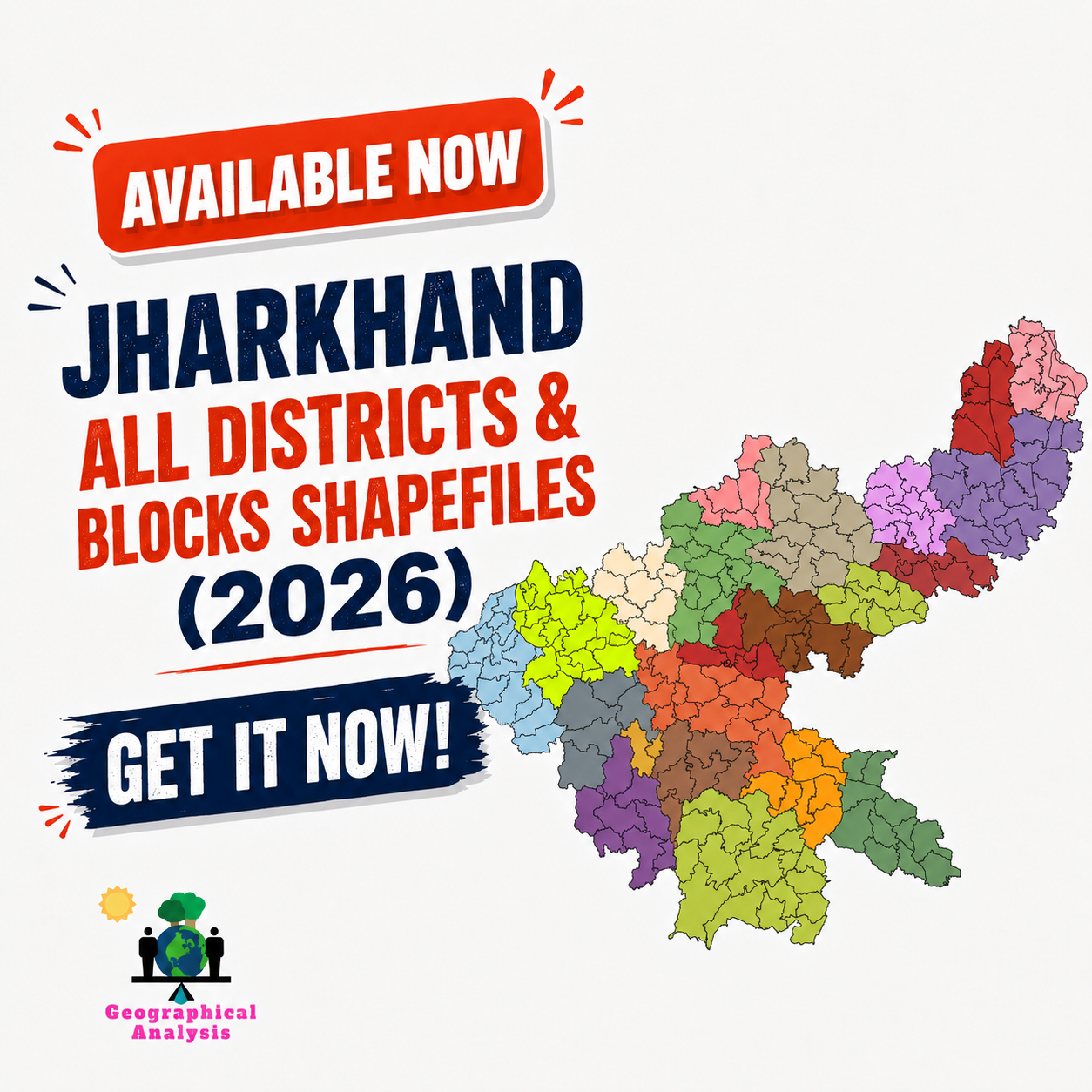
Jharkhand District & Block Shapefiles – Ready-to-Use Shapefile
Save time and get accurate, ready-to-use geospatial data for your GIS, research, planning, and mapping projects with our Jharkhand District and Block Shapefiles.
This dataset is specially prepared for GIS professionals, students, researchers, consultants, planners, NGOs, government-related studies, and map makers who need reliable district and block-level boundary data for Jharkhand.
What You Will Get
With this product, you will receive:
District-level shapefiles of Jharkhand
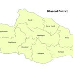
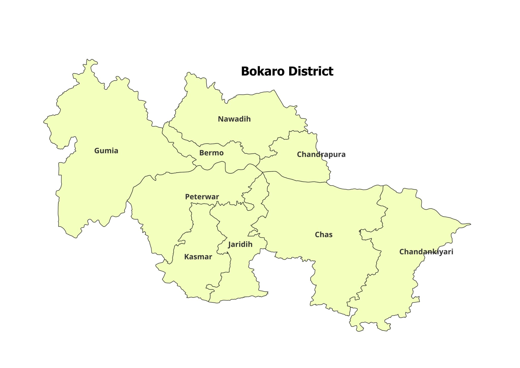
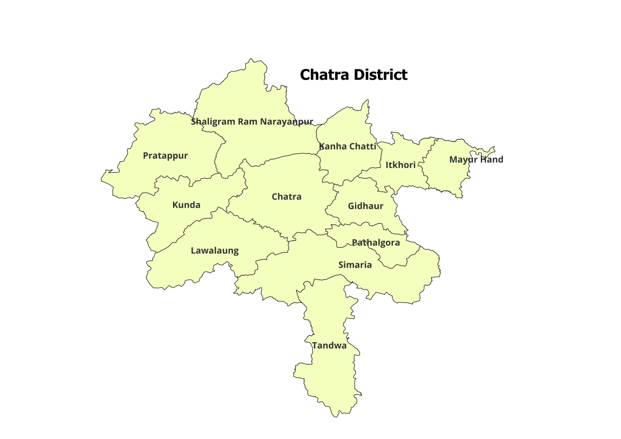
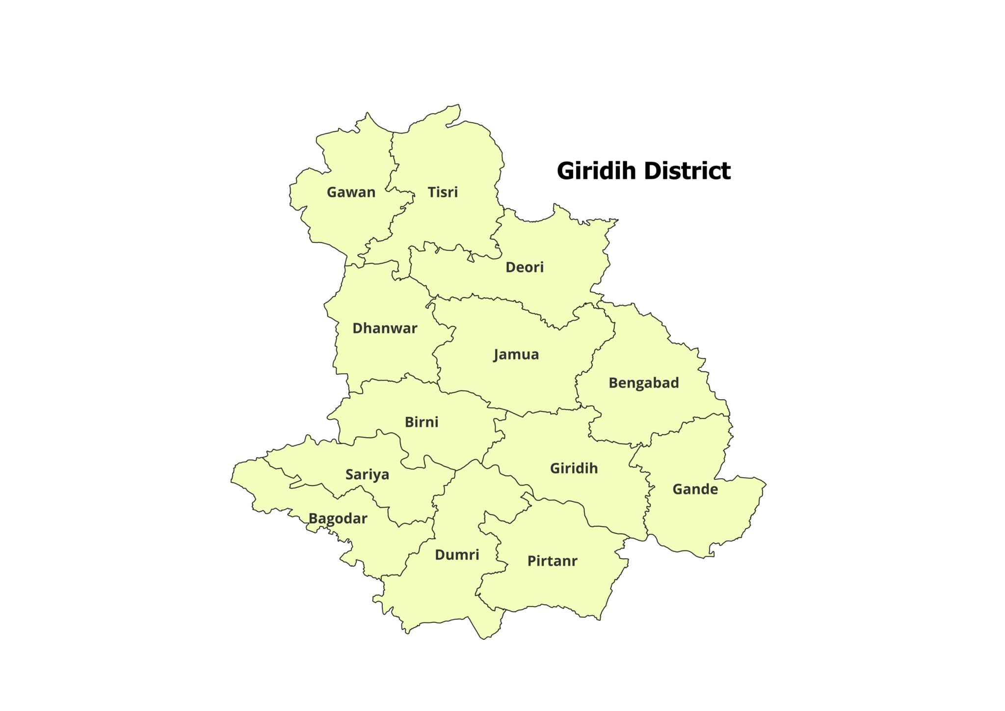
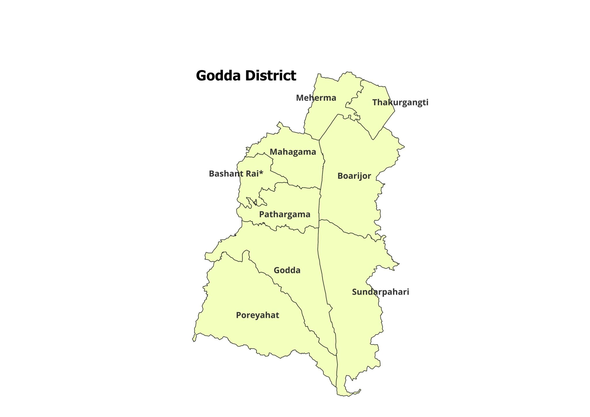
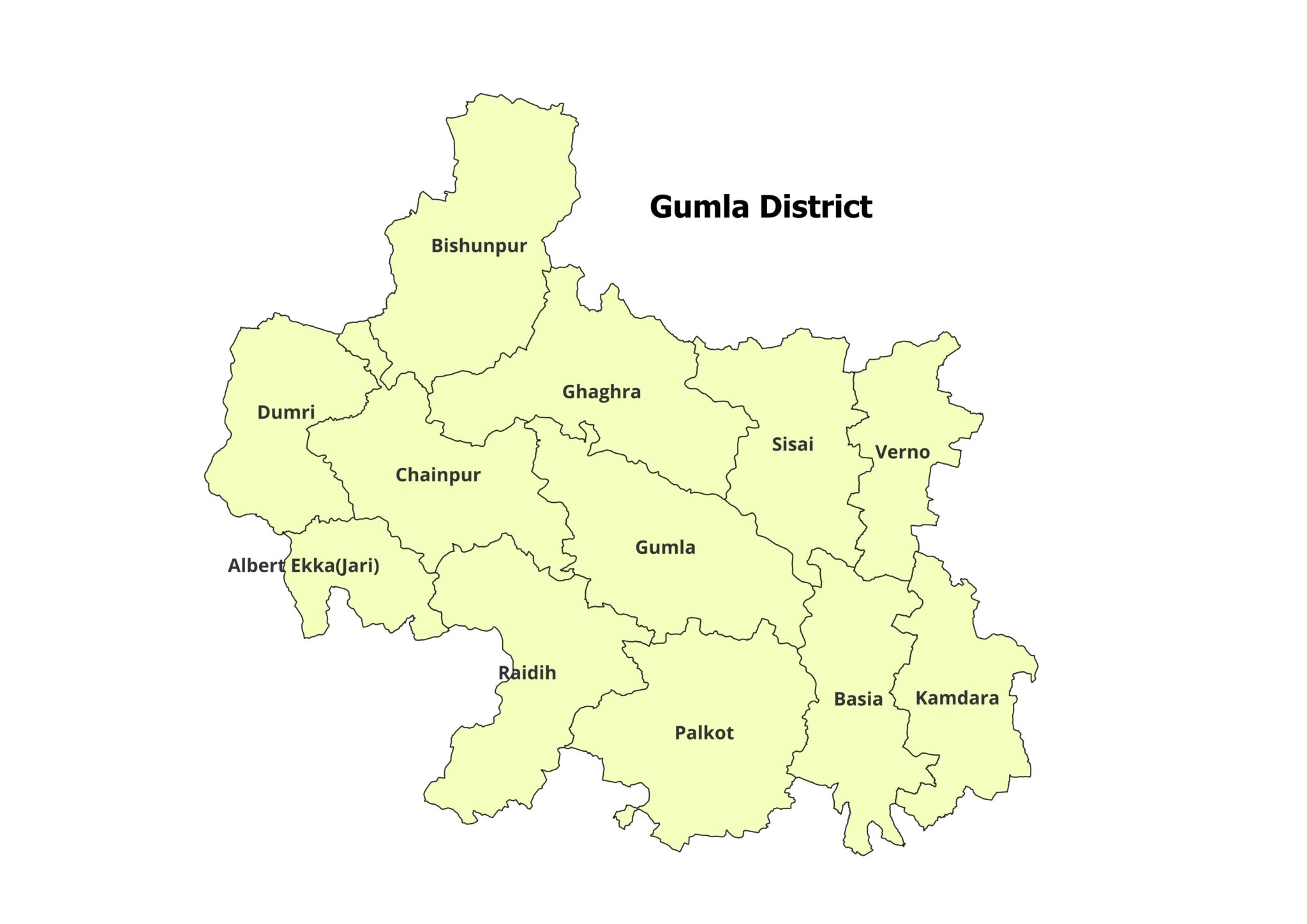
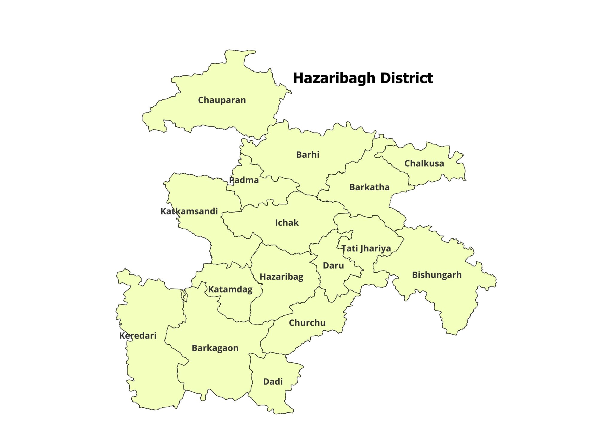
Block-level shapefiles for all districts of Jharkhand
GIS-compatible files including .shp, .shx, .dbf, and .prj
Data provided in ZIP format for easy download and use
Compatible with QGIS, ArcGIS, MapInfo, and other GIS software
Whether you are preparing a research paper, location map, planning report, field survey map, thematic map, business analysis, or academic project, this shapefile dataset helps you start your work quickly without spending hours searching and cleaning boundary data.
Why Choose Our Jharkhand Shapefiles?
Our Jharkhand District and Block Shapefiles are designed to make your GIS work faster, easier, and more organized.
You can use them for:
Academic research and project work
GIS mapping and spatial analysis
District and block-level planning
Location maps and thematic maps
Survey planning and field mapping
Market area analysis
Development studies
Administrative boundary visualization
Instead of creating boundaries from scratch, simply download the files, open them in your GIS software, and start mapping.
Districts Included
Block-level shapefiles are available for all districts of Jharkhand:
Bokaro
Chatra
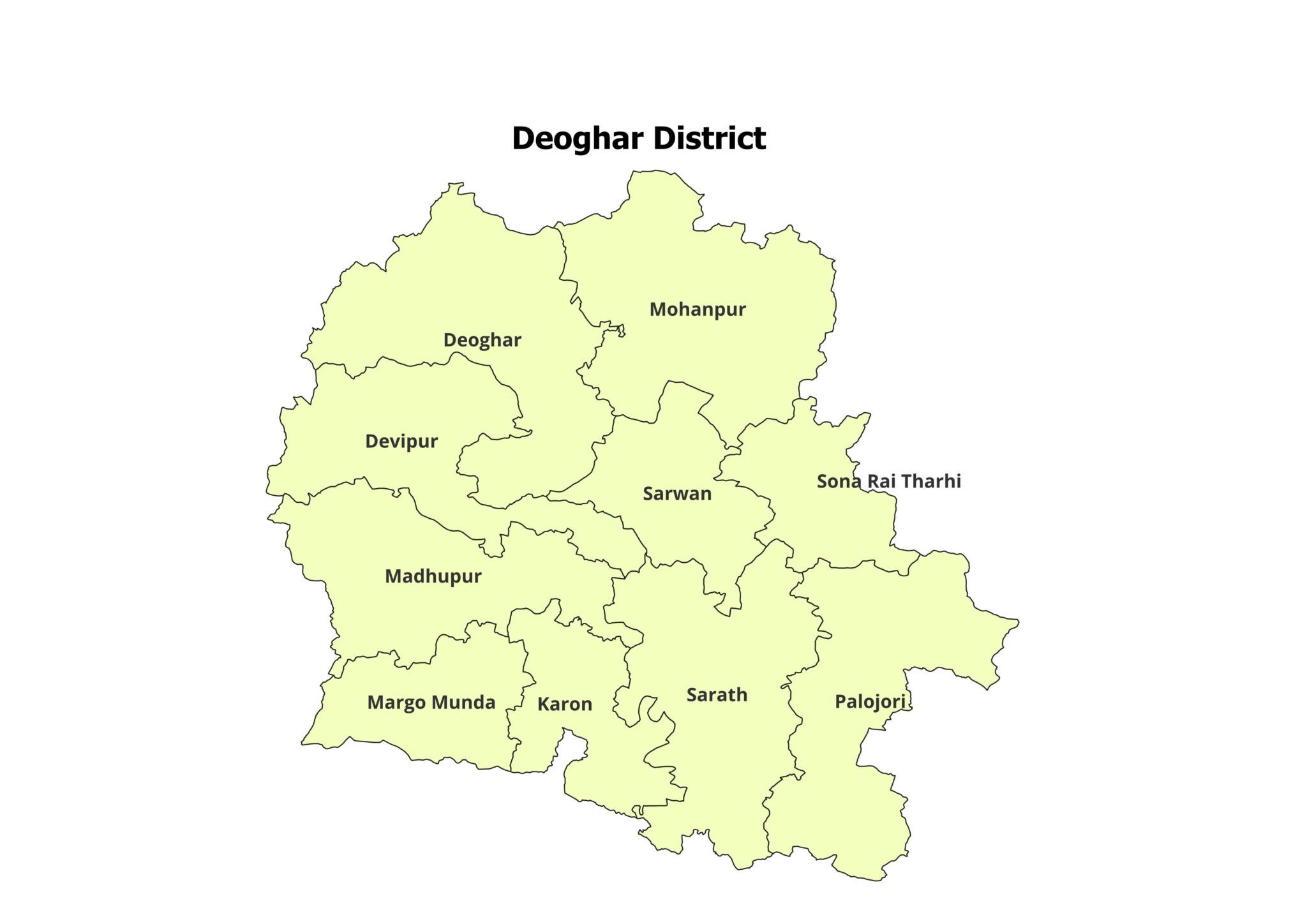
Deoghar
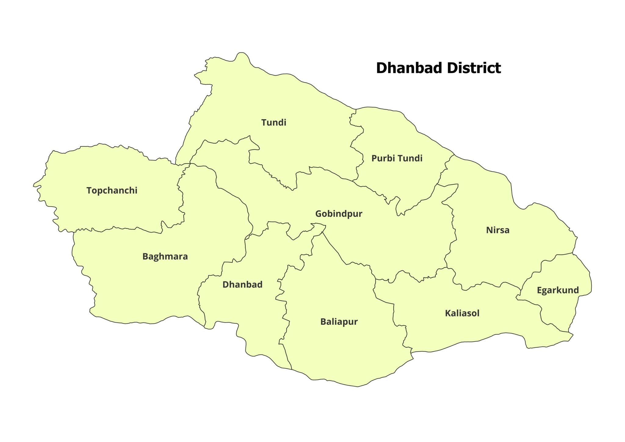
Dhanbad
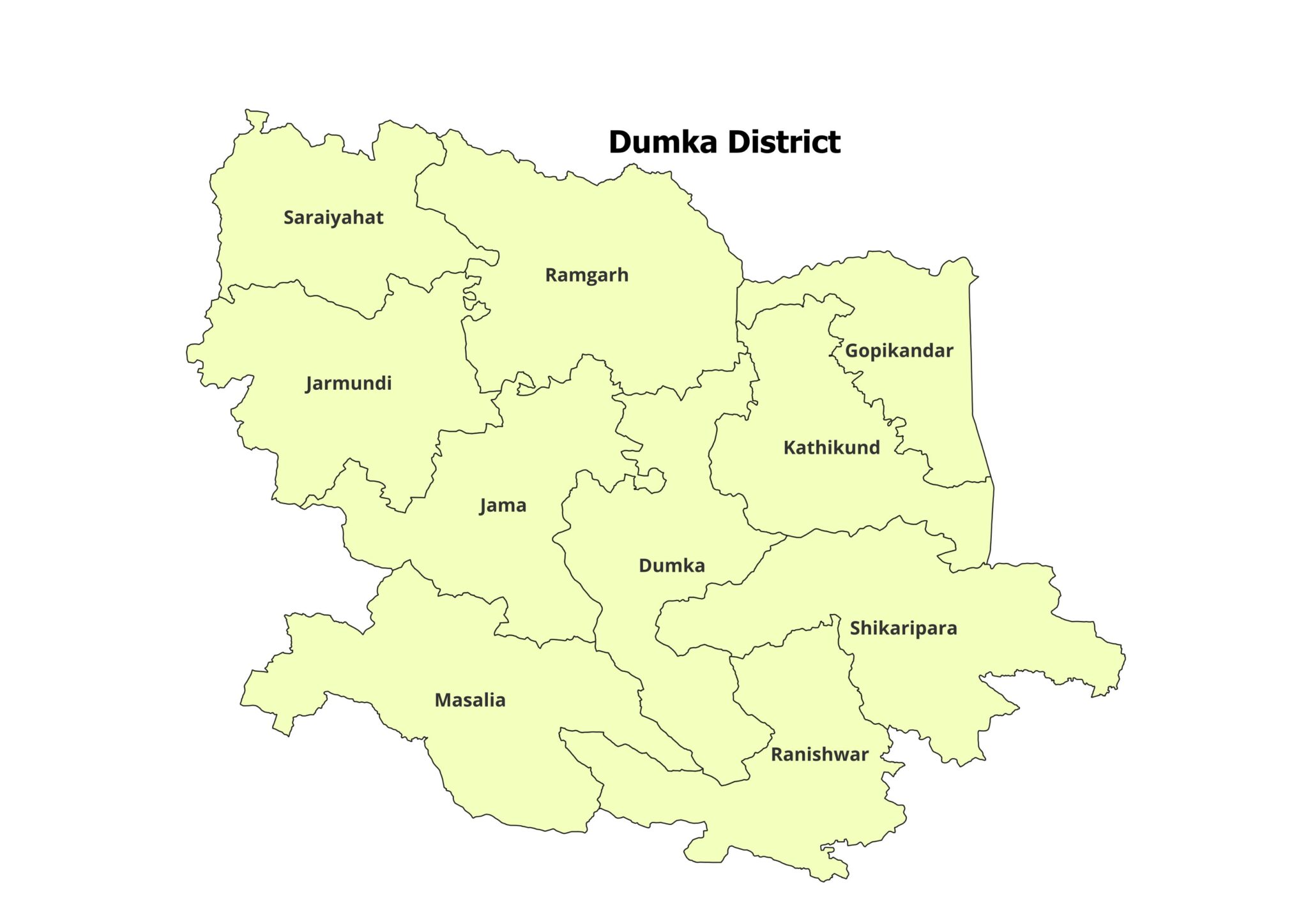
Dumka
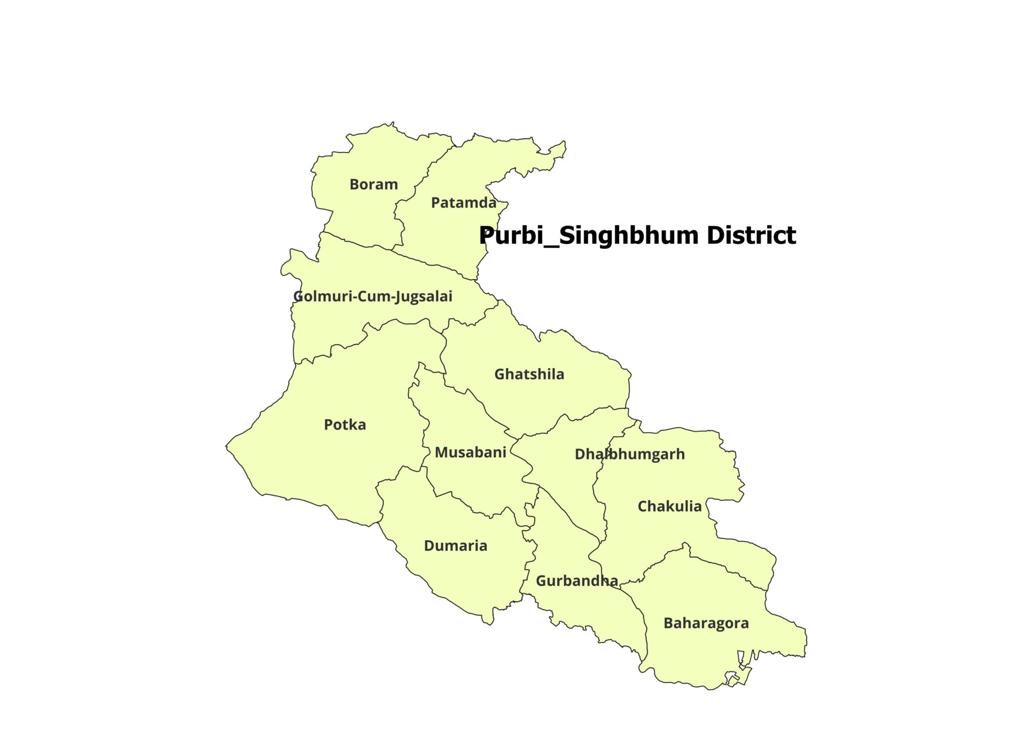
East Singhbhum
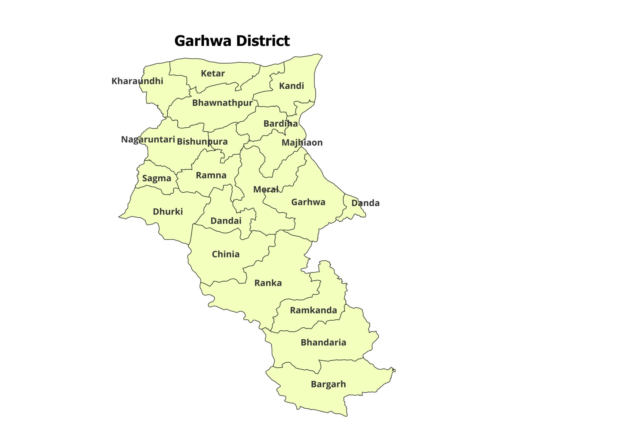
Garhwa
Giridih
Godda
Gumla
Hazaribagh
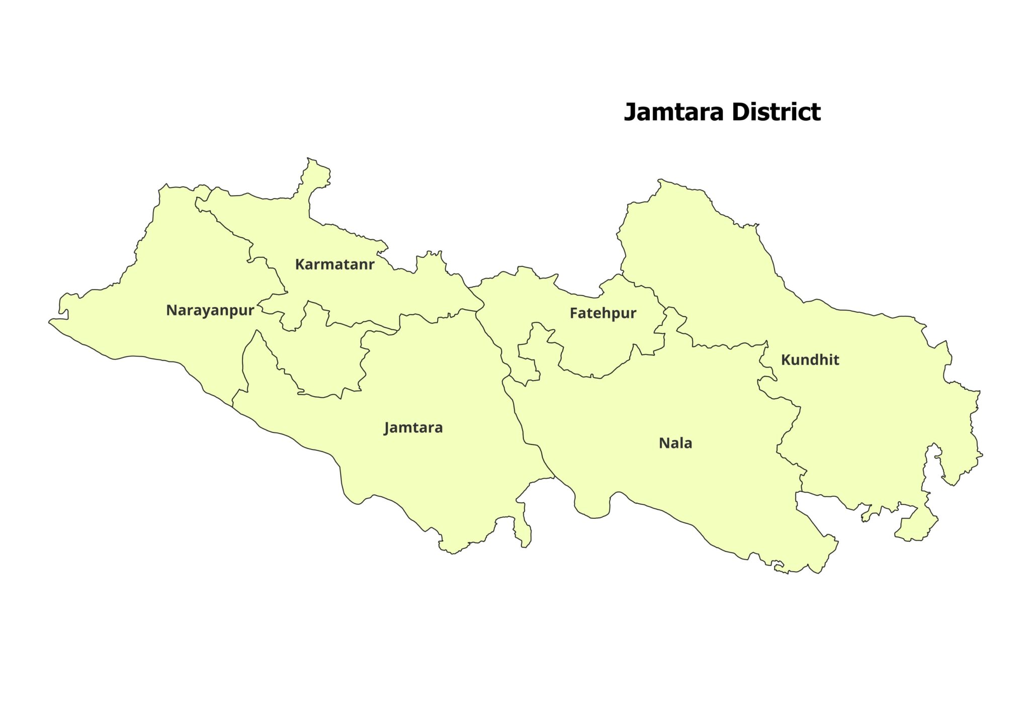
Jamtara
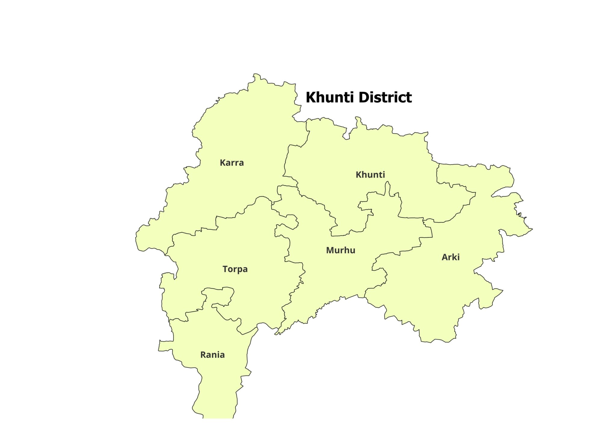
Khunti
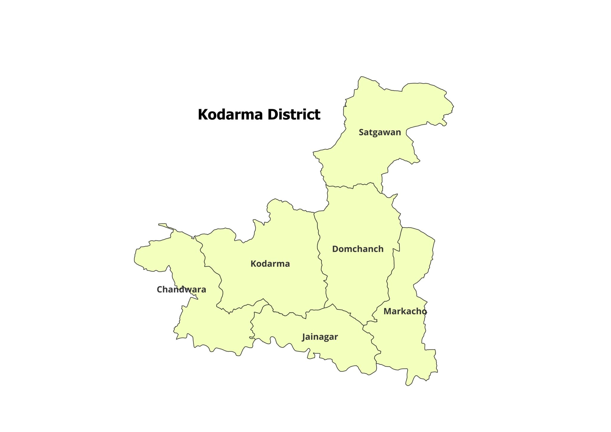
Koderma
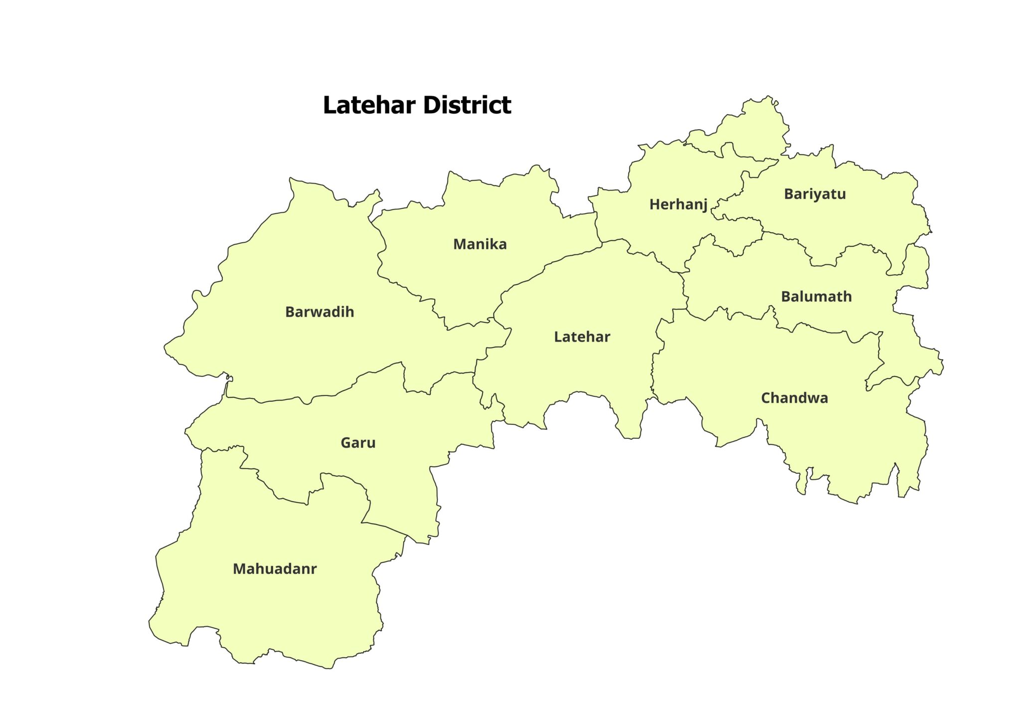
Latehar
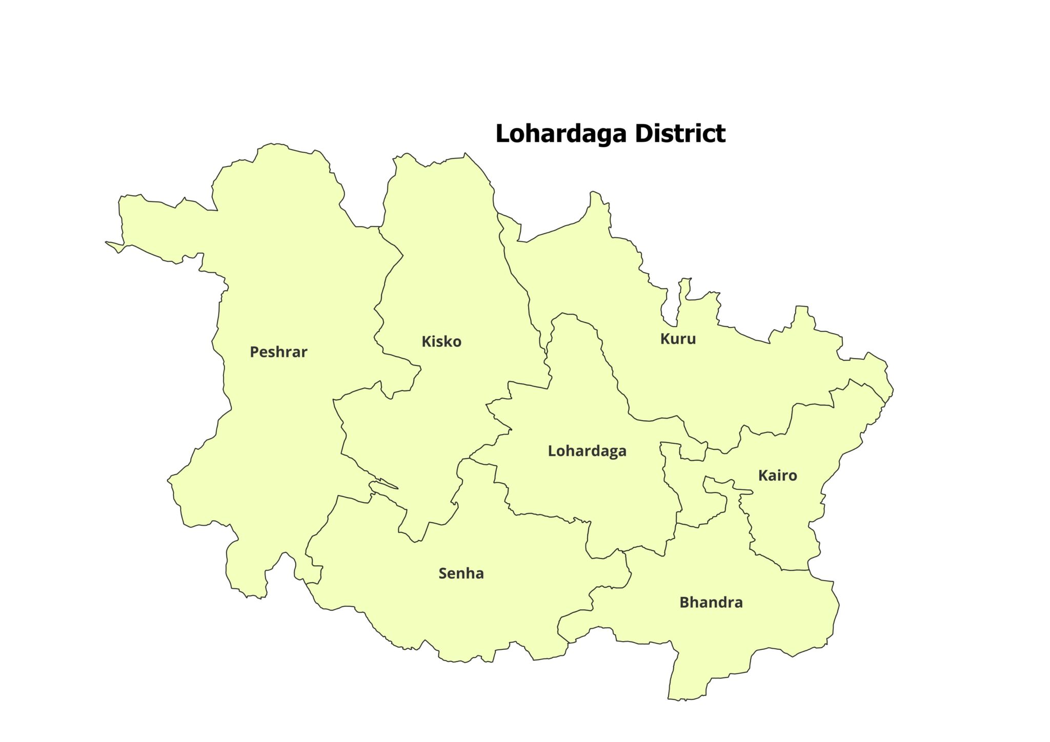
Lohardaga
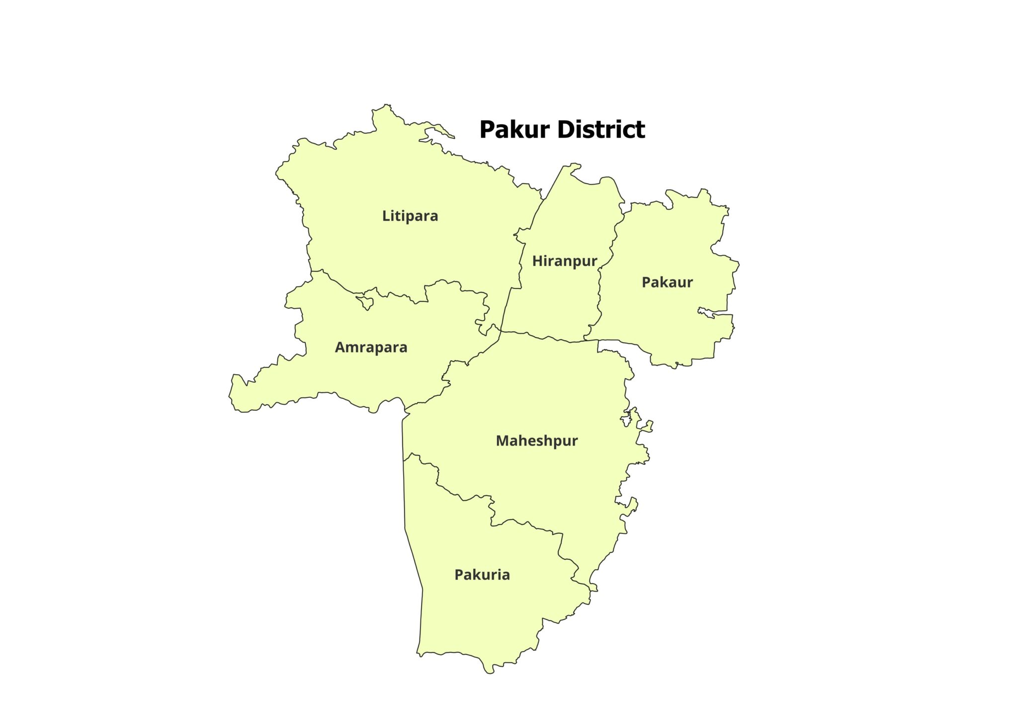
Pakur
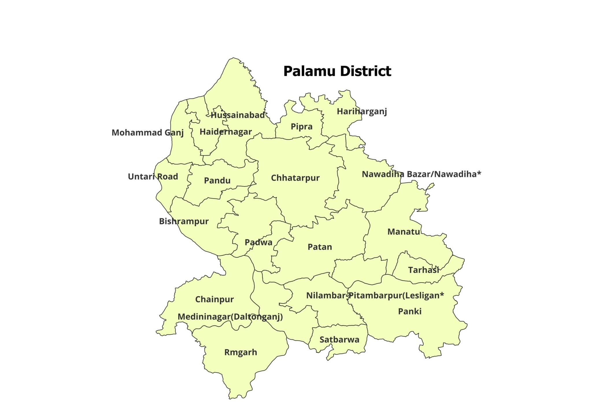
Palamu
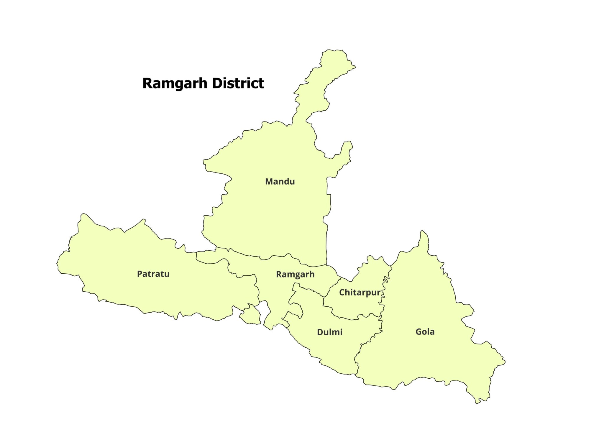
Ramgarh
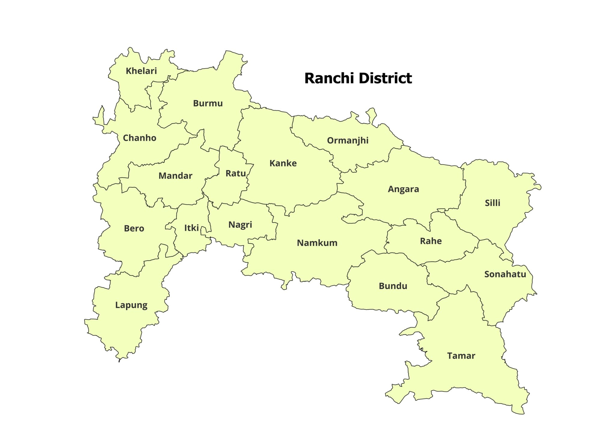
Ranchi
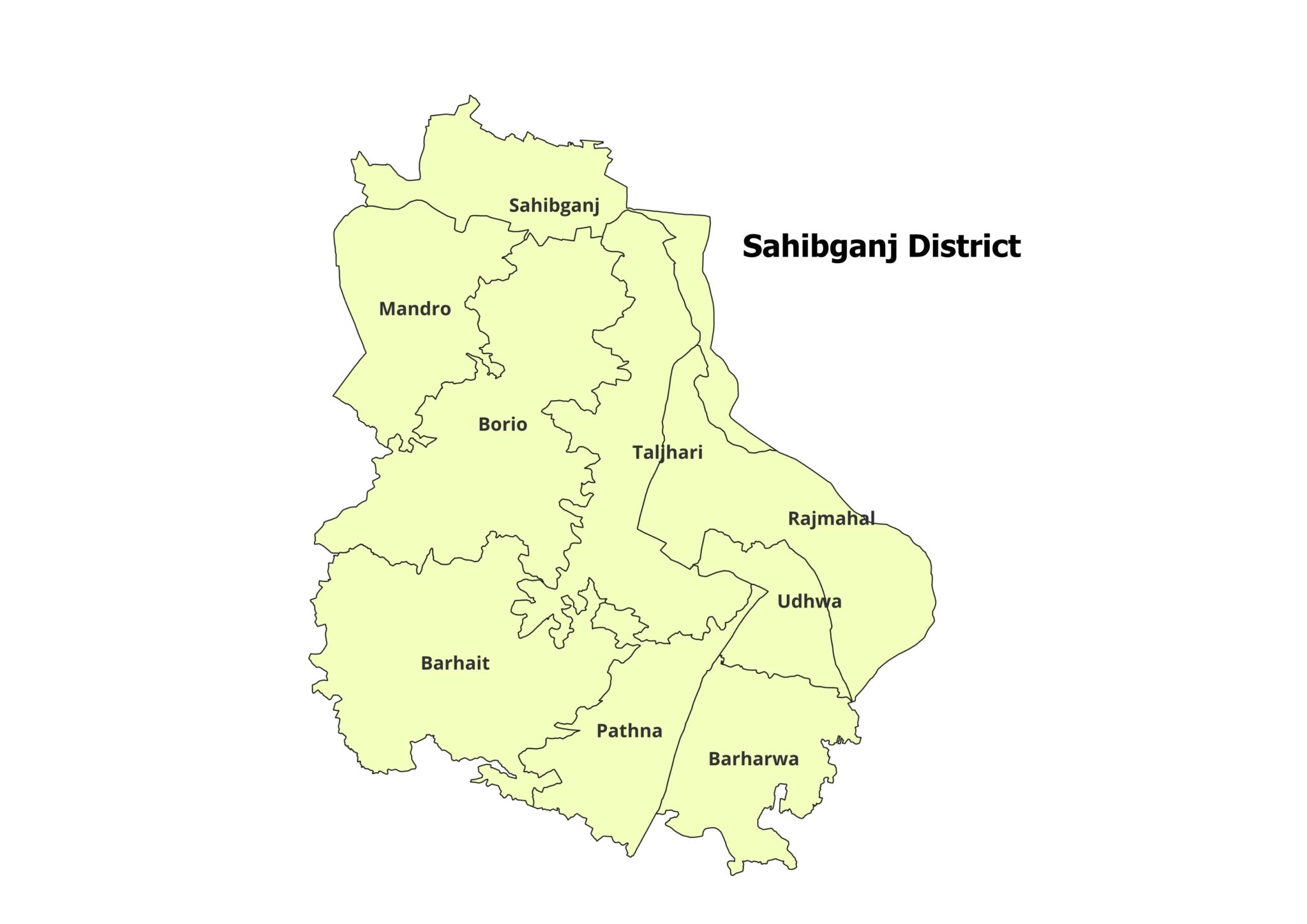
Sahebganj
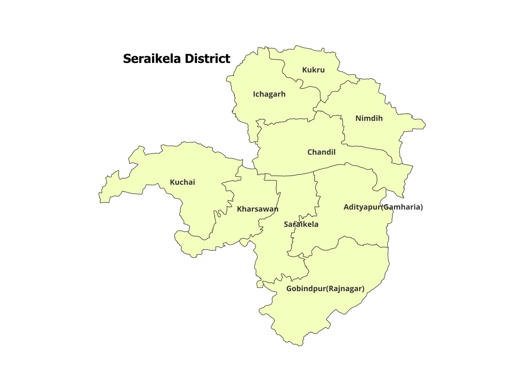
Seraikela Kharsawan
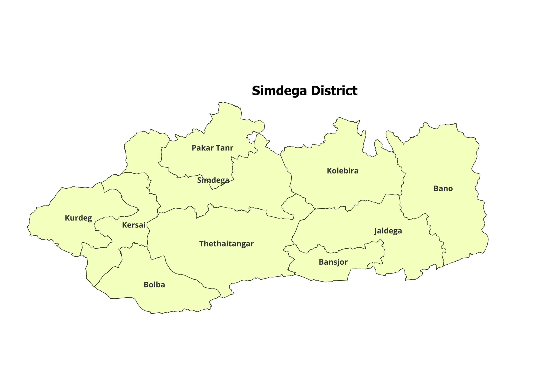
Simdega
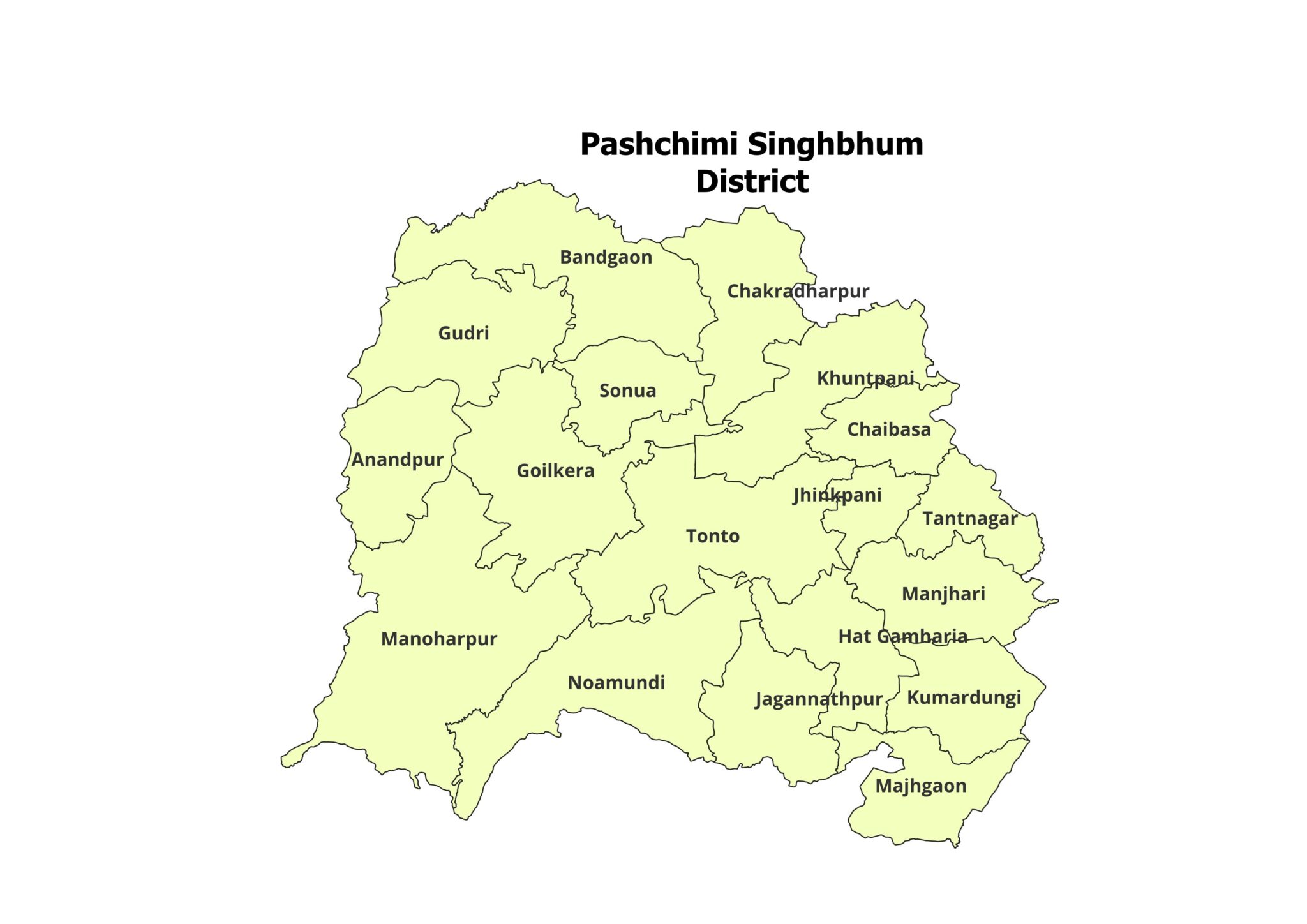
West Singhbhum
How to Download
Step 1: Purchase
Click the “Add to Cart” or “Buy Now” button and complete the payment.
Step 2: Instant Download
After successful payment, you will receive instant access to the download link.
Step 3: Extract Files
The shapefiles will be provided in ZIP format. Extract the ZIP file to access .shp, .shx, .dbf, .prj, and other related files.
Step 4: Start Mapping
Open the shapefiles in QGIS, ArcGIS, MapInfo, or any compatible GIS software and begin your analysis.
Best For
GIS professionals
Students and researchers
Urban and regional planners
NGOs and development professionals
Government project consultants
Map makers and cartographers
Business and market researchers
Important Note
This dataset is provided for academic and research use only and is not intended for commercial redistribution.
Please cite the source in your work:
https://geographicalanalysis.com
Need a Custom Map?
We also provide custom GIS map-making services, including location maps, study area maps, district maps, block maps, and thematic maps.
For custom map requests, contact us:
Email: admin@geographicalanalysis.com
Contact Page: Click here
Disclaimer
We try our best to provide accurate and useful geospatial data. However, users are advised to verify the data with official sources before using it for final reports, legal purposes, or policy-level decisions.
Get Started Today
Purchase the Jharkhand District and Block Shapefiles today and save valuable time on your GIS and mapping projects. Start your spatial analysis with clean, organized, and ready-to-use Jharkhand boundary data.
Admin –
Good shapefile
Admin –
Good quality.