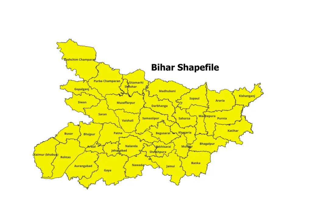
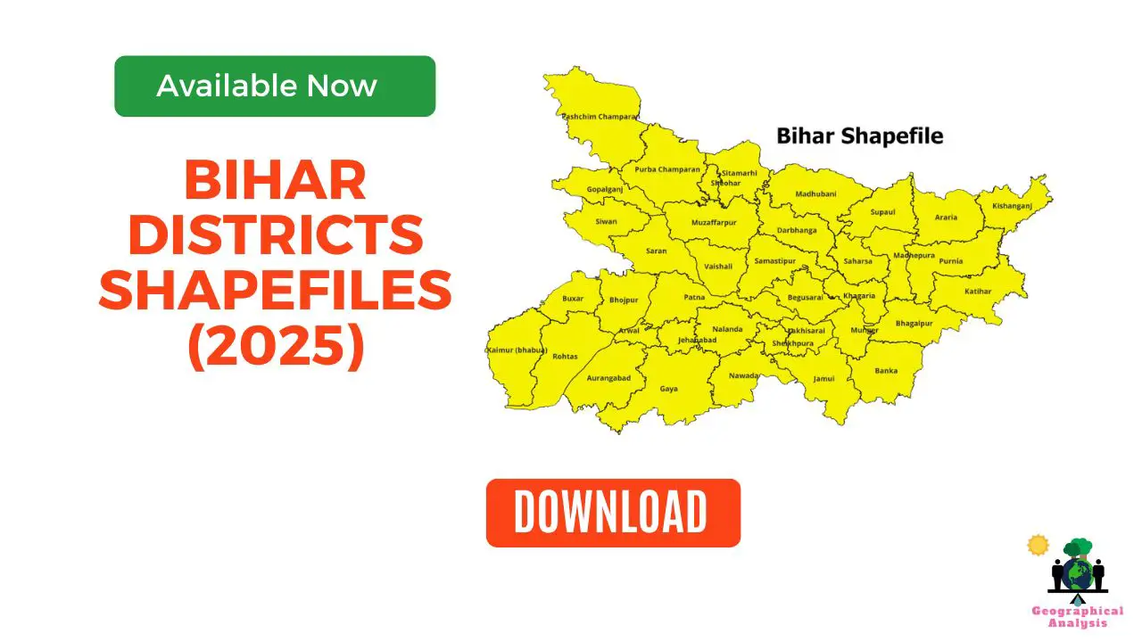
Bihar Districts shapefiles are a crucial asset for various applications, particularly in the realm of geographic information systems (GIS). In the context of Bihar Shapefile, including Blocks Shapefiles of Bihar, offer valuable geospatial data that serves diverse purposes.
We invested considerable time and effort into creating block-level shapefiles for Bihar, ensuring their accuracy and reflecting the most updated version available.
Download Shapefiles of All Districts of Bihar
Bihar comprises 38 districts, each contributing to the state’s geographic and demographic landscape. You can freely download shapefiles for all 38 districts for academic use:

Downloads Blocks Shapefile of All Districts of Bihar
We have meticulously crafted block-level shapefiles for each district of Bihar, providing a granular view of the state’s administrative divisions. Access these shapefiles at no cost:
| Bihar Districts Shapefile (Block-level) | Link |
| Araria | Click Here |
| Arwal | Click Here |
| Aurangabad | Click Here |
| Banka | Click Here |
| Begusarai | Click Here |
| Bhagalpur | Click Here |
| Bhojpur | Click Here |
| Buxar | Click Here |
| Darbhanga | Click Here |
| East Champaran (Motihari) | Click Here |
| Gaya | Click Here |
| Gopalganj | Click Here |
| Jamui | Click Here |
| Jehanabad | Click Here |
| Kaimur (Bhabua) | Click Here |
| Katihar | Click Here |
| Khagaria | Click Here |
| Kishanganj | Click Here |
| Lakhisarai | Click Here |
| Madhepura | Click Here |
| Madhubani | Click Here |
| Munger (Monghyr) | Click Here |
| Muzaffarpur | Click Here |
| Nalanda | Click Here |
| Nawada | Click Here |
| Pashchim Champaran (Bettiah) | Click Here |
| Patna | Click Here |
| Purba Champaran (Motihari) | Click Here |
| Purnia | Click Here |
| Rohtas | Click Here |
| Saharsa | Click Here |
| Samastipur | Click Here |
| Saran | Click Here |
| Sheikhpura | Click Here |
| Sheohar | Click Here |
| Sitamarhi | Click Here |
| Siwan | Click Here |
| Supaul | Click Here |
| Vaishali | Click Here |
| West Champaran (Bettiah) | Click Here |
Download India Shapefile Including Jammu, Kashmir and Ladakh
Steps to Download District Shapefiles
- Download and save the file to your computer.
- The shapefile will likely be compressed in ZIP format. Extract the contents to access the shapefile (.shp) and associated files (.shx, .dbf, etc.).
Please note:
- For academic use; not intended for commercial purposes.
- Always cite the source of the shapefile when using it in your work (https://geographicalanalysis.com).
For custom map making (Location map and any other GIS maps):
Mail us: admin@geographicalanalysis.com
Visit contact us page: Click here
Disclaimer: While I strive to provide accurate information, please double-check the data source for the latest updates and licensing terms.
FAQs
How can I use district shapefiles for demographic analysis?
District shapefiles can be used to analyze population distribution, identify demographic trends, and compare socioeconomic factors across different regions within West Bengal. By overlaying the shapefiles with relevant data, you can gain valuable insights into the demographic landscape of the districts.
Are district shapefiles available for other states in India?
Yes, district shapefiles are commonly available for other states in India as well. Many state governments provide these shapefiles through their official websites or data portals. Non-government organizations and research institutions may also offer shapefiles for various states.
Can I edit or customize the district shapefiles?
Yes, district shapefiles can be edited or customized using GIS software or other geospatial tools. However, it is recommended to maintain a backup of the original shapefile before making any modifications. Additionally, be cautious when editing shapefiles, as inaccuracies or errors could impact the reliability of the data.
Are there any legal restrictions on the use of shapefiles?
The usage of district shapefiles is generally unrestricted for non-commercial purposes. However, it is crucial to refer to the licensing or usage agreements provided by the data source or government authority. Some shapefiles may have specific terms of use, particularly if they include sensitive or restricted information.
Can district shapefiles be used in GIS software?
Yes, district shapefiles are compatible with most GIS software applications. Popular GIS software such as ArcGIS, QGIS, and MapInfo can read, display, and analyze district shapefiles. These software tools provide a wide range of functionalities to work with geospatial data, making it easier to explore and interpret the shapefile’s information.


