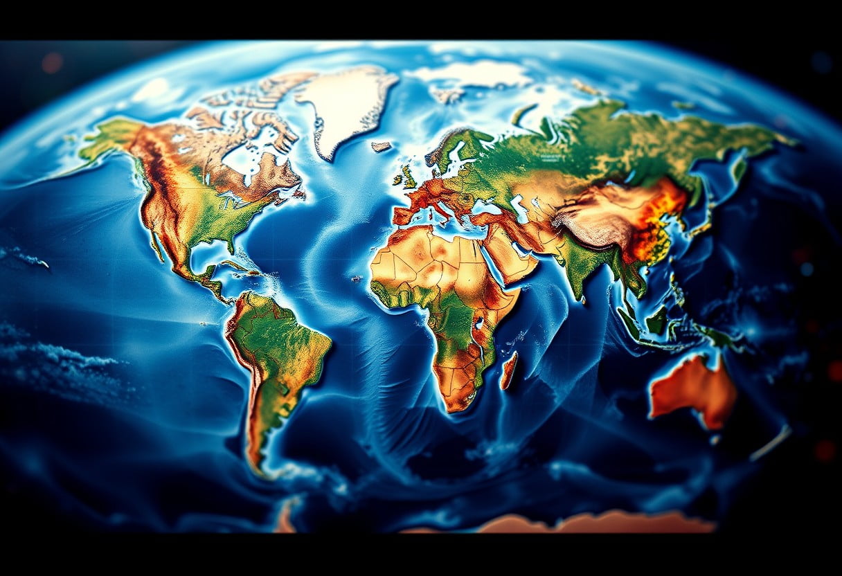
There’s an intricate dance happening beneath your feet, as the Earth’s tectonic plates drift and shift over millennia, molding the very landscapes you see around you. Understanding the process of continental drift not only enriches your appreciation of natural beauty but also reveals the powerful geological forces that have shaped continents, mountains, and oceans. In this post, you’ll explore how these dynamic movements influence your geography and create some of the world’s most breathtaking terrains.
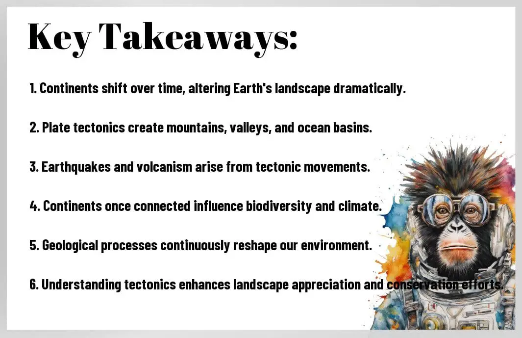
Key Takeaways:
- Continental Drift Theory: The concept that continents have moved over geological time and continue to shift today, leading to significant changes in Earth’s landscape.
- Plate Tectonics: The movement of large tectonic plates that make up the Earth’s crust, driving the formation of mountains, valleys, and oceanic trenches.
- Geological Activity: The interaction of plates generates various geological phenomena, including earthquakes and volcanic eruptions, which significantly contribute to the landscape.
- Ecosystem Diversity: The shifting plates create diverse ecosystems and habitats as they alter climates and environments across different regions.
- Landform Features: The ongoing process of continental drift shapes key landforms such as the Himalayas, the Great Rift Valley, and the Mid-Atlantic Ridge, showcasing the beauty of Earth’s geography.
Historical Background of Continental Drift
A comprehensive understanding of continental drift necessitates exploring the historical context of geological theories. Over centuries, scientists and thinkers have pondered the nature of our planet, leading to several hypotheses before the formal concept of continental drift was introduced. The early explanations for the Earth’s surface were primarily rooted in religious and mythological beliefs, where creation narratives dominated the understanding of the planet’s features. However, as naturalistic observation gained popularity during the Renaissance, people began searching for rational explanations concerning the arrangement and movement of geological formations.
Theories Before Continental Drift
On the quest to understand Earth’s geography, several significant theories emerged before Alfred Wegener formulated the idea of continental drift in the early 20th century. One prominent theory was the static Earth model, where scientists believed that the continents and oceans were fixed in their positions over geological time. This view prevailed until the late 19th century. Subsequently, the concept of ‘land bridges’ emerged, suggesting that continents were connected by land during historical epochs, allowing for species migration. Although this theory provided some explanations, it struggled to account for numerous geological and paleontological findings across distant continents.
Alfred Wegener and His Contributions
The breakthrough in understanding continental drift came with Alfred Wegener, a German meteorologist and geophysicist, who presented his pioneering theory in 1912. Wegener proposed that all continents were once joined together in a single landmass known as Pangaea, which eventually drifted apart over time. His work was built on various lines of evidence, including the fit of the continents, matching geological formations across different regions, and the distribution of fossilized plants and animals that indicated a once-connected world. By articulating these ideas and presenting clear observational data, Wegener laid the groundwork for the modern understanding of plate tectonics.
As you examine Wegener’s contributions, it becomes clear that his theory was radical for its time. He made extensive maps and comparisons, illustrating how the coastlines of Africa and South America fit seamlessly together. Additionally, his research included fossil evidence from the Mesosaurus, a freshwater reptile found in both South America and Africa, which further substantiated the notion of connected landmasses. His work raised critical questions regarding the Earth’s geological processes, ultimately shedding light on the dynamics of planetary evolution.
Initial Skepticism and Acceptance
For many years, Wegener faced skepticism from the scientific community regarding his theory of continental drift. Critics posited that his evidence was more circumstantial than definitive, questioning the mechanisms responsible for such movement. With limited technological advancements at the time, Wegener could not provide a satisfactory explanation for how continents could drift apart, leading to widespread disbelief. As a result, his ideas were largely dismissed and relegated to the margins of scientific discussion. In fact, Wegener’s work was so controversial that it led to his isolation from the mainstream geological community, delaying the acceptance of his influential ideas.
For instance, the absence of a plausible driving force behind continental movement hindered Wegener’s ability to garner widespread support. It wasn’t until the development of plate tectonics in the mid-20th century—supported by advancements in seismology, oceanography, and geology—that Wegener’s ideas gained traction. The discovery of mid-ocean ridges and the phenomena of subduction provided the mechanisms needed to explain how continents drift and reshape the earth’s landscape. Today, you can appreciate the resilience of scientific inquiry and how revolutionary ideas often face robust scrutiny before achieving acceptance.
The Mechanics of Plate Tectonics
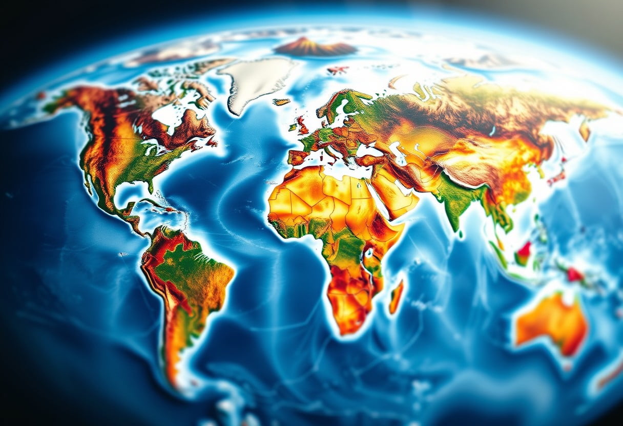
Little do you know, the Earth’s crust is not a solid shell but a dynamic mosaic of plates constantly in motion. This motion is driven by forces well beneath the surface, in the various layers of the Earth. Understanding these layers and their dynamics is critical to grasping how tectonic processes shape our planet.
Earth’s Layers and Their Dynamics
Any discussion of plate tectonics starts with the Earth’s internal structure. The Earth is composed of three primary layers: the core, the mantle, and the crust. The innermost layer, the core, is largely made of iron and nickel, generating the Earth’s magnetic field. Above the core is the mantle, a semi-solid layer of rock that flows slowly. Finally, the crust, where you live, is the outermost layer and is fractured into various tectonic plates that float on the mantle’s molten rock.
These layers operate with their specific dynamics, driving the movements of tectonic plates. When you think about the Earth’s movements, you should consider how heat from the core creates convection currents in the mantle. As hot magma rises and cooler magma sinks, it creates a continuous cycle that can move the plates above it. This interplay of heat and movement allows for the shifts and collisions of plates that shape our geography.
Types of Plate Boundaries
Any time two tectonic plates interact, they do so at plate boundaries. You can categorize these interactions into three main types: divergent, convergent, and transform boundaries. Each type of boundary has a distinct impact on the landscape, from creating mountains and earthquakes to forming oceanic ridges.
- Divergent Boundaries: Plates move apart, creating new crust.
- Convergent Boundaries: Plates collide or subduct, leading to mountain building.
- Transform Boundaries: Plates slide past one another, causing earthquakes.
The intricate dynamics at different types of plate boundaries create striking geographical features and natural phenomena. For example, divergent boundaries often lead to the formation of mid-ocean ridges, while convergent boundaries are commonly associated with mountain ranges and deep ocean trenches. As you explore your surroundings, you may appreciate the complex geological history etched into the landscapes by these enduring processes.
| Type of Boundary | Characteristics |
| Divergent | Plates move apart; new crust forms. |
| Convergent | Plates collide; one may be forced beneath the other. |
| Transform | Plates slide past each other; friction can result in earthquakes. |
| Oceanic-Continental | Denser oceanic plate subducts under continental plate. |
| Continental-Continental | Both plates resist subduction, creating mountain ranges. |
Role of Convection Currents
Currents within the Earth’s mantle play a significant role in the movement of tectonic plates. When you visualize convection currents, think of how hot magma rises from the core, cools near the surface, and then sinks back down to be reheated. This circular motion creates forces that push and pull the tectonic plates above, leading to various geological outcomes.
These convection currents are integral to the plate tectonic process. They dictate how quickly and in which direction the plates move, influencing volcanic activity and earthquakes. Understanding these currents adds depth to your appreciation of the Earth’s ever-changing surface as it continues to evolve through the ages.
Their impact on plate movements is substantial, as it leads to phenomena such as rift valleys where continents are breaking apart and subduction zones resulting in volcanic arcs. By observing natural features shaped by these currents, you gain insight into the dynamic processes that govern our planet’s physical environment.
Evidence Supporting Continental Drift
All around you lies an intricate tapestry woven together through the dynamic forces of our planet. The theory of continental drift, proposed by Alfred Wegener in the early 20th century, has since been supported by a variety of evidence, showcasing how the movement of tectonic plates affects the configuration and form of our continents. Unveiling these key pieces of evidence not only helps you understand the past but also provides insight into the present and future geologic processes that can reshape the world you inhabit.
Fossil Correlation
An important aspect of geographical evidence for continental drift involves the correlation of fossils found across distant continents. You may find it surprising that identical fossils of plants and animals have been discovered on continents that are currently separated by vast oceans. For example, the fossils of the ancient reptile Mesosaurus have been found in both South America and Africa, regions that are now thousands of miles apart. This suggests that these continents were once joined, allowing these species to inhabit a much larger area before the landmasses drifted apart.
Further supporting this notion, fossils of the plant Glossopteris have also been discovered in regions like India, South America, Africa, and Antarctica. By examining such fossil evidence, you can see how the distribution of these once-coexistent organisms lends credence to the idea of a united supercontinent, known as Pangaea, that has since splintered into the continents we recognize today.
Geological Evidence
Fossil evidence is only one dimension of the multifaceted proof of continental drift; geological evidence provides a clearer picture of the processes at play. Mountain chains such as the Appalachian Mountains in North America and the Caledonian Mountains in Scotland share striking similarities in their composition and age, indicating they were once part of a single range that was divided when the continents drifted apart. As you probe deeper into this geological tapestry, you can appreciate how the alignment of rock formations and the types of minerals found can further substantiate the theory.
Understanding the geological similarities across continents strengthens your knowledge of the earth’s dynamic history. For instance, you may notice how glacial deposits and ancient coastlines exhibit parallels that can only be explained through the movement of continents over geological time. By studying the structure and composition of various regions, you can appreciate the continuous reshaping of our planet’s surface, offering a glimpse into its expansive geological timeline.
Paleoclimatic Evidence
Correlation of past climatic conditions offers another intriguing piece of evidence supporting continental drift. By analyzing sedimentary rocks, you may come across clues that reflect environmental shifts over time. For instance, coal deposits found in now cold areas such as Antarctica point to a time when those regions had warmer, tropical climates. This suggests that Antarctica was once positioned near the equator, supporting the idea that continents have not only drifted but have also undergone significant changes as they moved.
The intricate patterns in both geological formations and climatic indicators highlight the astonishing journey of our continents. When you consider the varying climates and formations present today, it’s remarkable to think about how they were once part of a cohesive unit. These climatic remnants serve as a reminder of the Earth’s ever-evolving landscape, providing insight into ancient environments and further confirming the theory of continental drift.
The Impact of Continental Drift on Geography
Despite the seemingly static nature of our planet, the movement of tectonic plates plays a critical role in shaping the geography you see around you. As these plates drift, they influence various geological processes that create stunning landscapes and dramatic features on Earth. The impact of continental drift can be observed in several key areas, including the formation of mountain ranges, the development of ocean basins, and the occurrence of earthquakes and volcanic activity.
Formation of Mountain Ranges
Continental drift is a fundamental force behind the creation of mountain ranges. When tectonic plates collide, they push the Earth’s crust upward, leading to the formation of colossal mountain systems. For example, the Himalayas, which are home to Mount Everest, were formed from the collision between the Indian and Eurasian plates over millions of years. As you explore these majestic heights, you witness firsthand the immense power of geological processes that have shaped the landscape through time.
Moreover, the formation of mountains is not only a result of collisions but also involves other mechanisms such as subduction, where one plate is forced beneath another. This process can create volcanic mountain ranges such as the Andes, which stretch along the western coast of South America. Understanding how these remarkable features are formed gives you deeper insight into the dynamic nature of our planet and the forces that continuously sculpt it.
Ocean Basin Development
Ocean basins are another crucial component of Earth’s geography that have been shaped by continental drift. As tectonic plates move apart, they create rifts that allow magma to rise and form new oceanic crust. This process, known as seafloor spreading, results in the expansion of ocean basins like the Atlantic Ocean. When you think about ocean basins, consider how their formation influences marine ecosystems and global weather patterns, all part of an interconnected system shaped by tectonic activity.
Impact on ocean basin development can also include the formation of mid-ocean ridges, underwater mountain ranges that serve as hotspots for biodiversity. These ridges not only provide a habitat for marine life but also impact sea currents, facilitating nutrient exchange throughout the oceans. Thus, ocean basins and their development have far-reaching consequences, influencing not just geography but also the climate and ecosystems that thrive within them.
Earthquake and Volcanic Activity
The shifting of tectonic plates is a primary driver of earthquake and volcanic activity. When two plates slide against each other, their interaction can lead to the accumulation of stress, which is suddenly released, resulting in an earthquake. Your understanding of earthquakes can be enhanced by recognizing that most of them occur along plate boundaries, making these areas hotspots for seismic events. The unpredictable nature of earthquakes serves as a reminder of the dynamic processes constantly at work beneath our feet.
Basin alterations caused by tectonic movements can lead to significant volcanic activity. When subduction occurs, the descending plate melts and creates magma that can rise to the surface, resulting in volcanic eruptions. The Ring of Fire, a horseshoe-shaped zone around the Pacific Ocean, is a prime example of where these volcanic risks are predominant. By appreciating these geological phenomena, you can gain a greater understanding of the forces that define our planet and their profound effects on your environment.
Biogeographical Implications
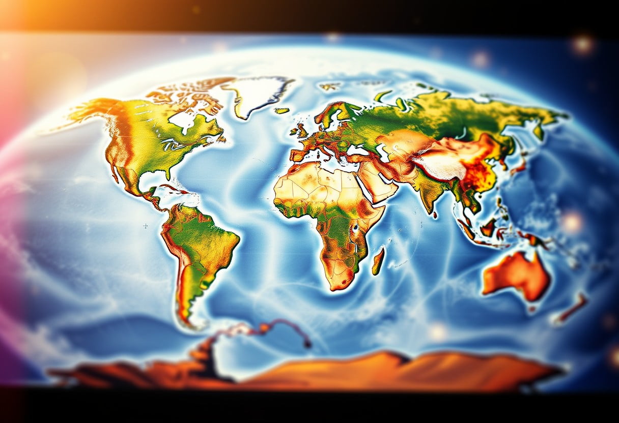
For centuries, the movement of tectonic plates has sculpted not only the surface of our planet but also the intricate patterns of life that inhabit it. The shifting of these colossal land masses has profound implications for the distribution and evolution of species across the globe. It is fascinating to consider how the relatively recent separation of continents can lead to vastly different ecological niches and biodiversity profiles, influencing everything from the flora that thrives in a region to the fauna that claims it as home. By understanding these processes, you can gain deeper insight into the interconnectedness of the Earth’s ecosystems and the rich tapestry of life they support.
Species Distribution and Evolution
Distribution of species is significantly influenced by geological events related to plate tectonics. As continents drift apart or collide, the habitats available to various organisms are altered, leading to new opportunities for adaptation and evolution. This process can result in the diversification of species as organisms become geographically isolated from their relatives. Reduced gene flow within these isolated populations can drive distinct evolutionary paths, resulting in unique adaptations and characteristics that might not have developed in a more interconnected environment.
Furthermore, the geological history of an area can dictate its current biogeographical patterns. For example, the splitting of the supercontinent Gondwana led to the separation of landmasses such as Africa, South America, and Madagascar. Each of these regions evolved distinct species due to their geographical isolation over millions of years. By studying these patterns, you can understand not only the origins and evolution of different species but also the unique ecological dynamics that exist in various parts of the world.
Isolation and Diversification of Flora and Fauna
To analyze the implications of isolation on biodiversity, it is crucial to recognize how geographical barriers formed by tectonic activity create isolated ecosystems. This isolation allows for the process of speciation to occur, wherein groups of organisms adapt to their specific environments over time. The diverse climatic conditions and habitats that emerge from tectonic movements subsequently give rise to a broad array of flora and fauna. You can observe this phenomenon vividly in places like the Galápagos Islands, where species have evolved in unique ways independent of mainland influences, leading to a striking variety of life.
A key example of how isolation fosters diversification can be found in the evolution of marsupials in Australia. Following the continent’s separation from Gondwana, marsupials adapted to fill various ecological niches, resulting in numerous species with distinct characteristics. Isolated ecosystems not only encourage the development of new species but also foster evolutionary pressures that can lead to greater resilience against environmental changes and threats, ultimately enriching biodiversity.
Effects on Ecosystems and Biodiversity
Species distribution resulting from tectonic shifts and continental drift profoundly affects ecosystems and biodiversity. As species are thrust into entirely new environments—often with altered temperatures, precipitation patterns, and food sources—they must adapt to survive. This delicate balance shapes the interconnected web of life that defines ecosystems, where each organism plays a role in maintaining harmony within its habitat. The resultant biodiversity is critical for ecosystem services and the overall health of our planet, making it crucial for you to appreciate the lasting effects that geological processes have on our natural landscapes and the life they sustain.
Fauna development is also intrinsically linked to the shifts in tectonic plates. Species that once roamed freely across connected landmasses may find themselves confined to new territories, spurred by the changing geography. As a result, you witness the emergence of different fauna adapted to their specific environments, creating an intricate balance where biodiversity flourishes. When we consider these biogeographical implications, it becomes clear that the landscapes we admire are not just beautiful—they are living stories of evolution and adaptation, shaped by the relentless movement of our planet’s tectonic plates.
Beautiful Landscapes Shaped by Plate Tectonics
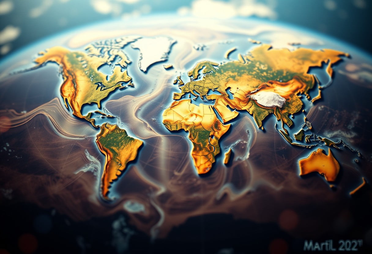
Unlike many natural phenomena, the stunning landscapes you see around the globe are not merely products of erosion and weathering; they are directly influenced by the movements of tectonic plates. As these gigantic slabs of Earth’s crust shift, collide, and pull apart, they reshape our planet’s surface in dynamic ways. You might be curious about what role does plate tectonics play in shaping Earth’s … The breathtaking vistas you encounter are often the result of these complex geological processes that continue to unfold even today.
The Himalayas: A Testament to Convergence
Tectonics has carved out some of the world’s most magnificent mountain ranges, and the Himalayas stand as a monumental example. Formed about 50 million years ago when the Indian Plate collided with the Eurasian Plate, these majestic peaks are still rising due to ongoing tectonic activity. You can imagine the force behind the uplift that created Mount Everest, which is not just a stunning view but a powerful reminder of the earth’s dynamic nature.
In this region, you witness the grandeur of converging plates that has incited the formation of deep valleys and towering peaks. The collision has also resulted in unique ecosystems and diverse climates, showcasing how tectonic forces can craft beautiful yet complex landscapes that offer both challenges and opportunities for the people and wildlife that make their home here.
The Grand Canyon: Erosion and Plate Movements
Testament to the power of both erosion and tectonic activity, the Grand Canyon reveals layers of Earth’s crust that have been laid bare by years of natural processes. This massive geological formation offers a striking view of how water erosion, combined with uplifting shits from the Colorado Plateau, have sculpted the landscape into one of Earth’s most iconic sites. As you stand overlooking the canyon, remember that its unique shape and structure are the results of countless millennia of interaction between natural forces.
It is fascinating to note that while the Colorado River continues to carve out the canyon, tectonic movements have raised the land, enhancing the depth and breadth of this geological marvel. You can appreciate this intricate dance of forces as they work together to create one of the most photographed and revered landscapes in the world.
The Ring of Fire: A Volcanic Wonderland
Volcanic activity plays a pivotal role in shaping diverse landscapes, and the Ring of Fire is an extraordinary region to explore. This horseshoe-shaped area encircles the Pacific Ocean and is home to over 450 volcanoes. As you access this unique geological zone, you will marvel at the beauty created by eruptions and tectonic activity. The interplay between subduction zones, tectonic plate movements, and volcanic eruptions has resulted in awe-inspiring landforms that range from rugged mountainous terrains to picturesque islands.
Plate tectonics in this area not only contribute to beautiful volcanic landscapes but also lead to significant geothermal activity that powers vibrant ecosystems. You can witness firsthand the lakes and thermal springs formed by volcanic activity, further highlighting the direct relationship between these geological processes and the breathtaking natural beauty you observe.
Summing up
Upon reflecting on the significance of continental drift and plate tectonics, it’s clear that these geological processes have not only shaped our planet’s surface but also created the breathtaking landscapes you admire today. From majestic mountains to deep ocean trenches, the dynamic movements of tectonic plates form the backbone of Earth’s geography. Understanding this connection allows you to appreciate how natural forces continually sculpt your environment, influenced by the slow but relentless drift of landmasses over millions of years.
Moreover, the study of plate tectonics emphasizes the importance of geological activity in driving biodiversity and ecosystems across various regions. As you explore different terrains, remember that they are the product of ancient processes that have carved out valleys, raised peaks, and shaped climates. Embracing this knowledge enriches your experience of the natural world, fostering a deeper respect for the intricate systems at play beneath your feet that continue to define our landscapes and our existence on this planet.

