Description
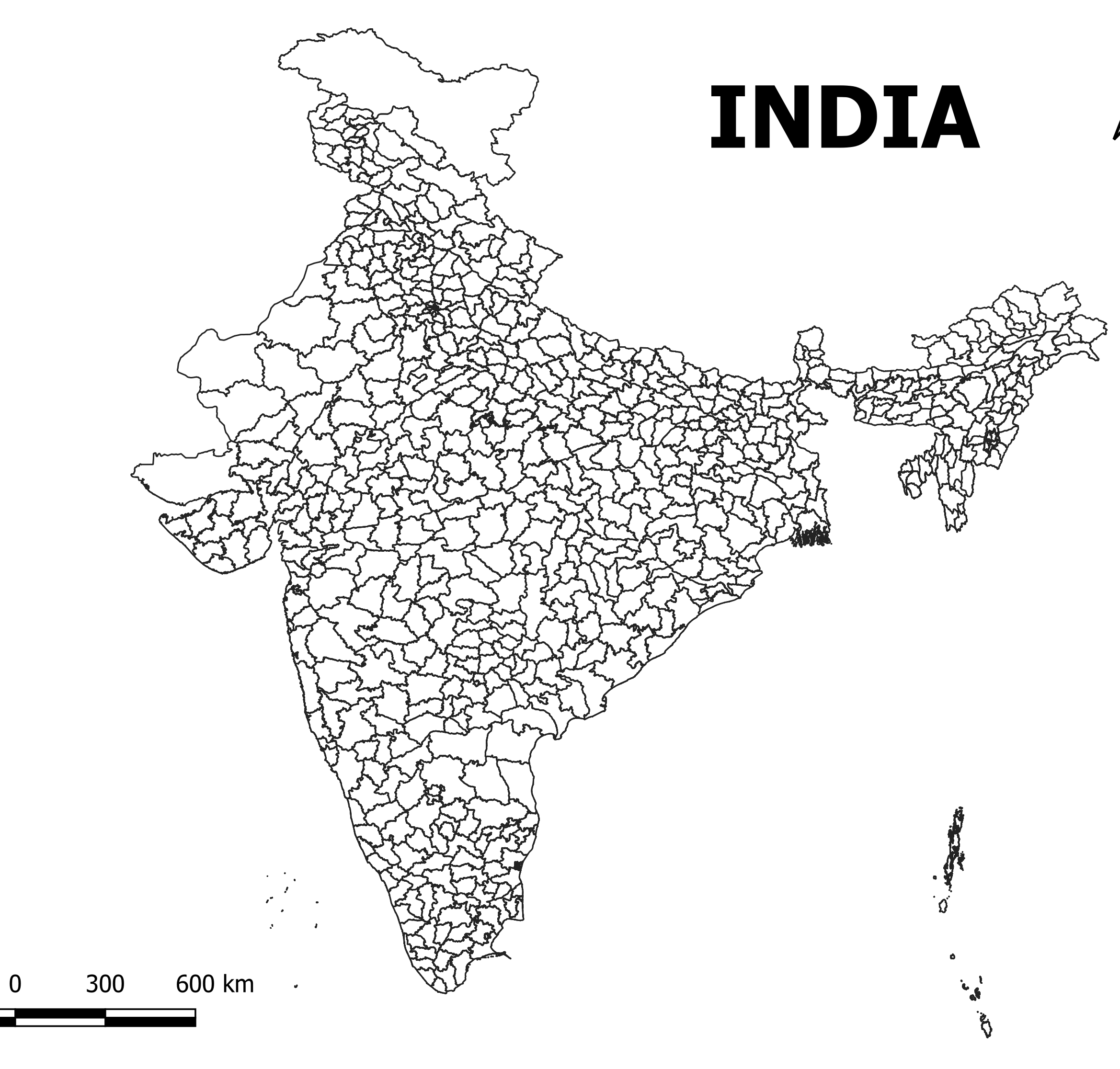
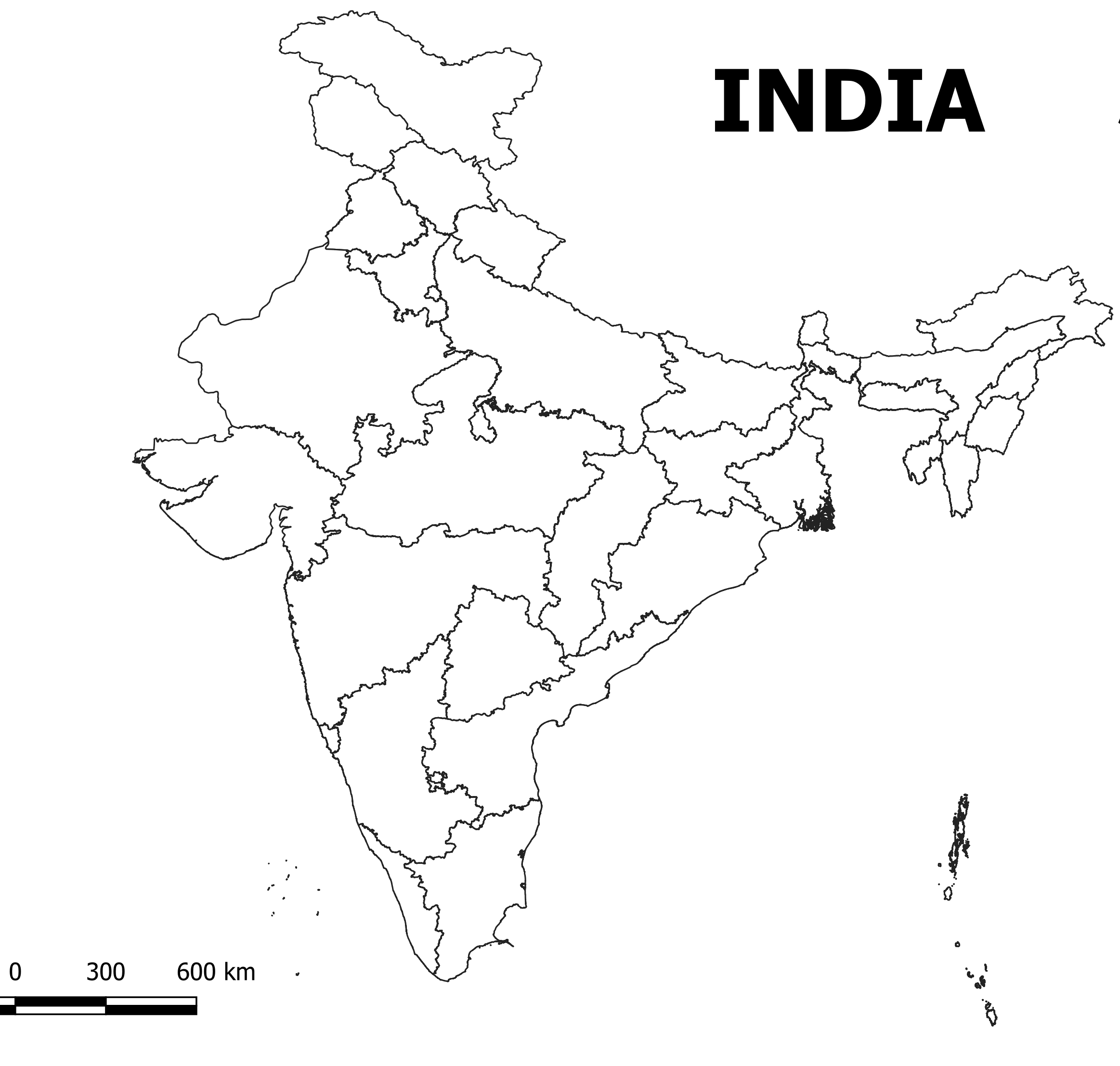
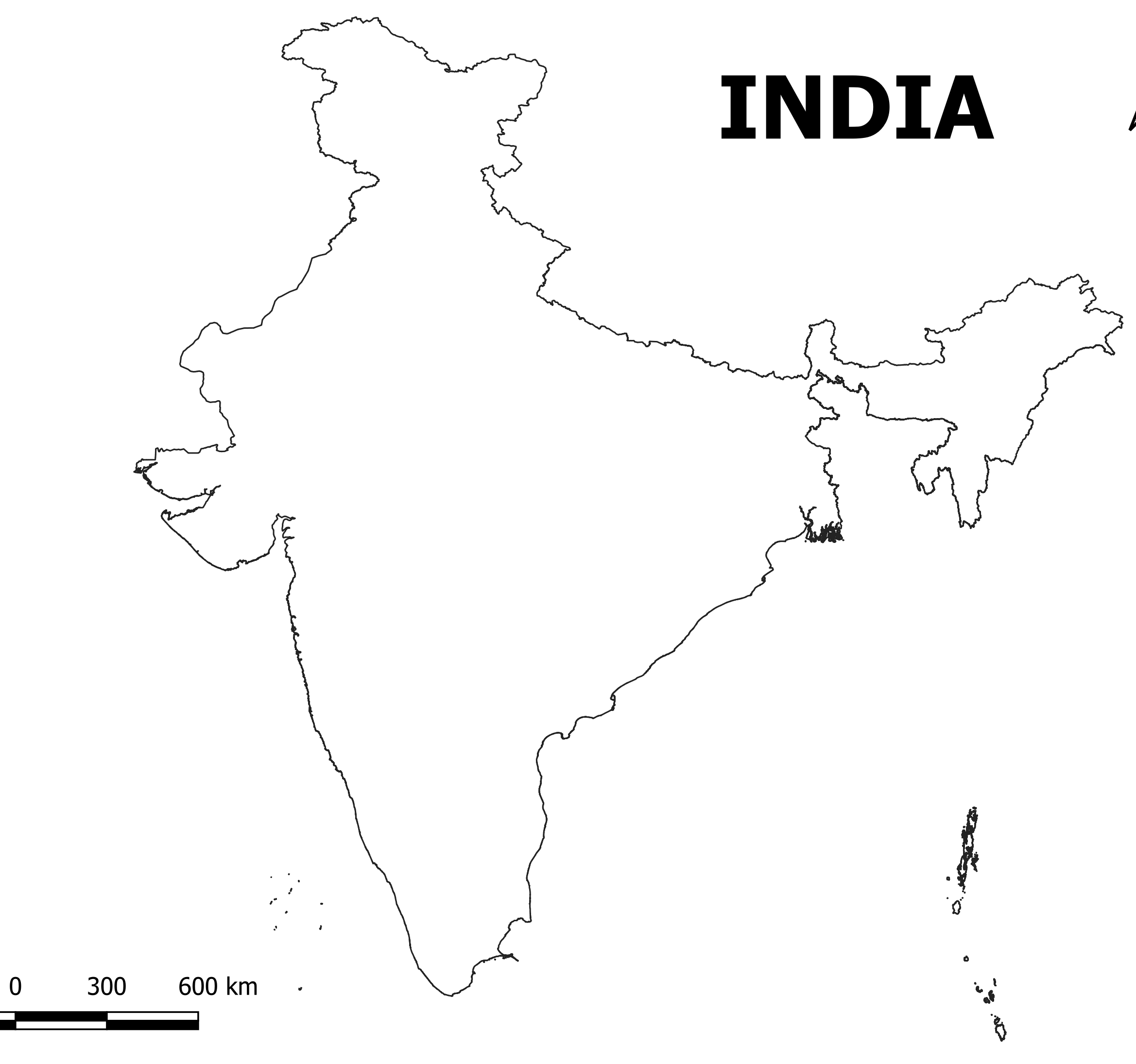
Three types of shapefiles are available here.
- India boundary shapefile
- India shapefile with all states
- India district level Shapefiles
At the moment, India consists of 28 states and 8 union territories. Jammu and Ladakh, Dadar and Nagar Haveli and Daman and Diu were also included in the Shapefile as recently developed regions.
Here is a list of all the states in India along with their respective capitals:
- Andhra Pradesh – Amaravati
- Arunachal Pradesh – Itanagar
- Assam – Dispur
- Bihar – Patna
- Chhattisgarh – Raipur
- Goa – Panaji
- Gujarat – Gandhinagar
- Haryana – Chandigarh (shared with Punjab)
- Himachal Pradesh – Shimla
- Jharkhand – Ranchi
- Karnataka – Bengaluru (Bangalore)
- Kerala – Thiruvananthapuram
- Madhya Pradesh – Bhopal
- Maharashtra – Mumbai
- Manipur – Imphal
- Meghalaya – Shillong
- Mizoram – Aizawl
- Nagaland – Kohima
- Odisha – Bhubaneswar
- Punjab – Chandigarh (shared with Haryana)
- Rajasthan – Jaipur
- Sikkim – Gangtok
- Tamil Nadu – Chennai
- Telangana – Hyderabad
- Tripura – Agartala
- Uttar Pradesh – Lucknow
- Uttarakhand – Dehradun
- West Bengal – Kolkata
Additionally, India has 8 union territories with their capitals:
- Andaman and Nicobar Islands – Port Blair
- Chandigarh – Chandigarh
- Dadra and Nagar Haveli and Daman and Diu – Daman
- Lakshadweep – Kavaratti
- Delhi (National Capital Territory of Delhi) – New Delhi
- Puducherry – Puducherry
- Ladakh – Leh
- Jammu and Kashmir – Srinagar (summer capital), Jammu (winter capital)


Kabir (verified owner) –
The detailed shapefiles of state boundaries were exactly what I needed for a client project. I’ll definitely be coming back for more.
Manish (verified owner) –
I’ve been using this site for over a year, and the consistent quality of the shapefiles keeps me coming back. Fantastic resource for GIS enthusiasts
Aarushi (verified owner) –
Fast, reliable, and affordable. This website ticks all the boxes for anyone needing GIS shapefiles. Will be recommending it to my colleagues.
Rohit (verified owner) –
I’m impressed with the quality control of the shapefiles. The datasets are clean, accurate, and ready to use. Highly recommend this platform.
Aarushi (verified owner) –
This website offers incredible value for GIS professionals. The datasets are comprehensive, accurate, and very well-priced.
Admin –
Good quality.
610226055 –
Good quality.