


Description
Product Description:
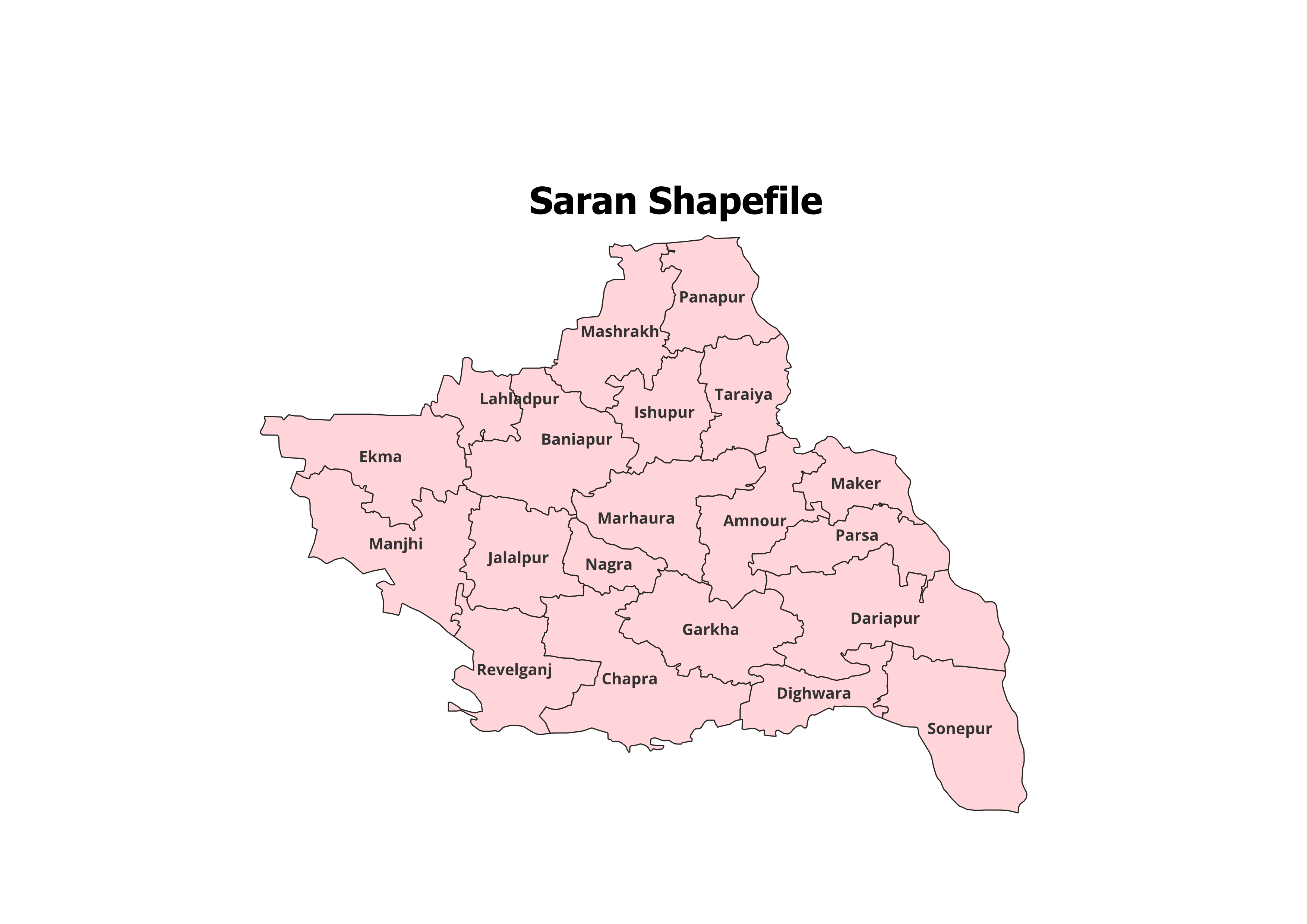
Get detailed geographical insights into Saran District with our high-quality shapefile. This dataset encompasses the administrative boundaries of Saran District and its 20 Blocks, making it an essential tool for GIS professionals, researchers, and students.
Key Features:
- Complete Block-Level Coverage: Includes all 20 blocks of Saran District.
- Accurate and Verified Data: Perfect for academic, research, and personal projects.
- GIS-Ready Format: Compatible with QGIS, ArcGIS, and other GIS platforms.
- Detailed Attributes: Includes block names and codes for precise spatial analysis.
- File Format: ESRI Shapefile (.shp) with all necessary supplementary files (.dbf, .shx, .prj).
Applications:
- Research Studies: Ideal for land use planning, demographic analysis, and resource mapping.
- Academic Projects: An essential dataset for GIS-based mapping and visualization.
- Non-Commercial Use: Designed for educational and personal purposes.
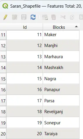
Blocks Included in Saran District:
- Amnour
- Baniapur
- Chapra
- Dighwara
- Ekma
- Garkha
- Ishuapur
- Jalalpur
- Lahladpur
- Maker
- Manjhi
- Marhaura
- Nagra
- Parsa
- Revelganj
- Sonepur
- Taraiya
- Dariapur
- Mashrakh
- Panapur
Technical Details:
- File Format: ESRI Shapefile (.shp)
- Coordinate System: WGS 84 (EPSG: 4326)
- Resolution: High-quality vector data
- Attributes: Includes block names, codes, and metadata
Important Notes:
- Commercial Use: Not Allowed. This shapefile is intended for academic, research, or personal use only.
- Redistribution or Resale: Strictly prohibited.
What You’ll Receive:
- Shapefile of Saran District
- Metadata with block-level attributes
- Easy setup instructions for GIS integration
- Free technical support for troubleshooting and usage
Compatibility:
Compatible with popular GIS tools, including:
- QGIS
- ArcGIS
- Global Mapper
- MapInfo
- AutoCAD Map 3D
Licensing:
- Personal and Academic Use Only
- Redistribution, resale, or commercial use is strictly prohibited.
Sneha (verified owner) –
I downloaded ecological shapefiles for a conservation project and the quality was fantastic.
Kunal (verified owner) –
This site saved me so much time with its organized and high-quality datasets. Thank you.
Shalini (verified owner) –
The best platform for high-quality GIS shapefiles. Everything I needed was easy to find and download.
Aarav (verified owner) –
I was amazed by the level of detail in the shapefiles. They made my analysis much easier.
Aman (verified owner) –
Fast downloads, excellent quality, and amazing customer support. Highly recommended.
Anil (verified owner) –
I found a unique dataset here that I couldn’t locate anywhere else. Fantastic resource for GIS professionals.
Kajal (verified owner) –
The road network shapefiles I purchased worked perfectly for my urban planning project.