Description
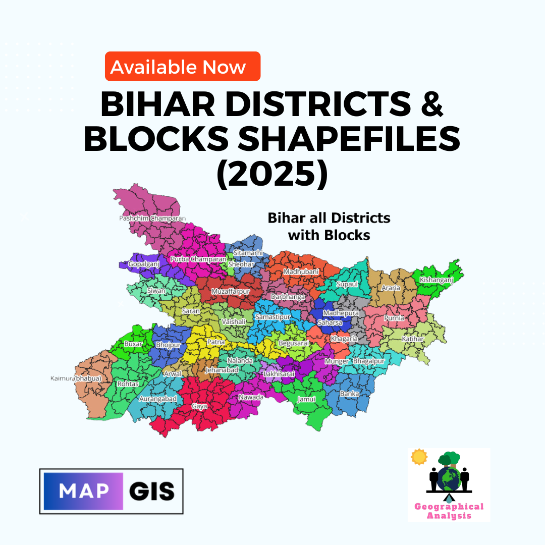
Bihar Shapefiles 2025 – All Districts & Blocks
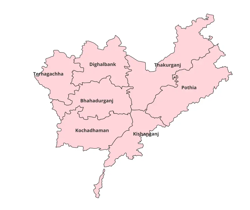
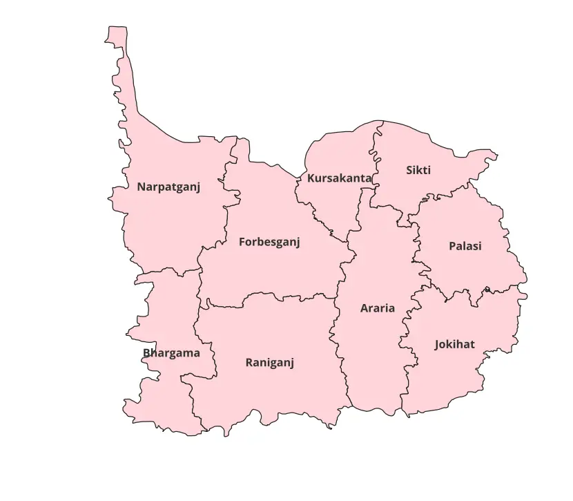
The Bihar Shapefiles 2025 dataset offers the latest and most accurate administrative boundaries for all districts and blocks in Bihar. Tailored for GIS professionals, researchers, and academicians, this dataset is an invaluable tool for mapping, planning, and spatial analysis.
Key Features
- Comprehensive Coverage: Includes updated district and block boundaries for all regions in Bihar.
- Highly Accurate: Verified with reliable sources to ensure precision.
- User-Friendly Format: Delivered in ESRI Shapefile format, compatible with major GIS software (QGIS, ArcGIS, and more).
- Ready-to-Use Data: Organized and labeled for quick integration into your projects.
What’s Included
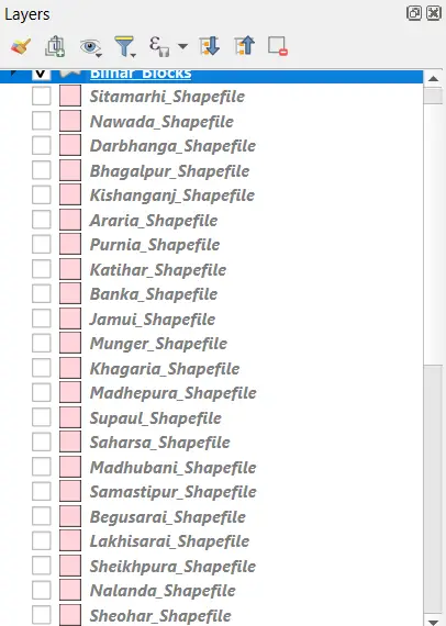
- District-Level Shapefiles: Detailed boundaries for all 38 districts in Bihar.
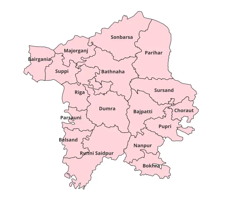
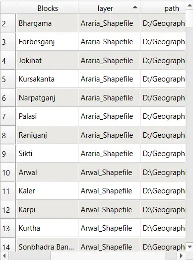
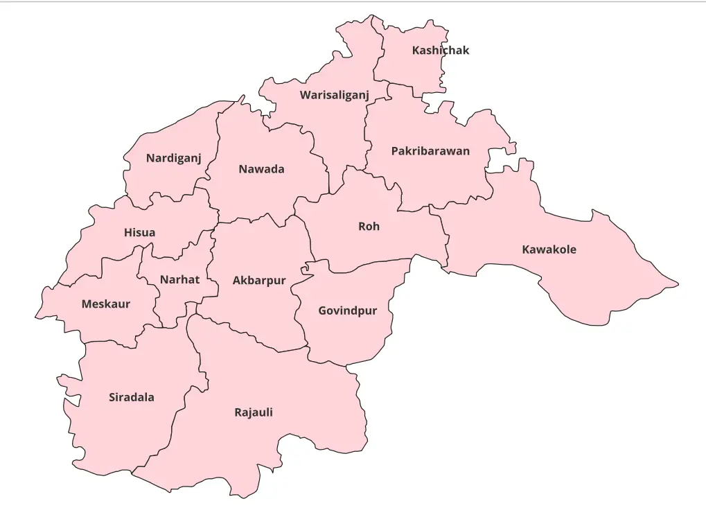
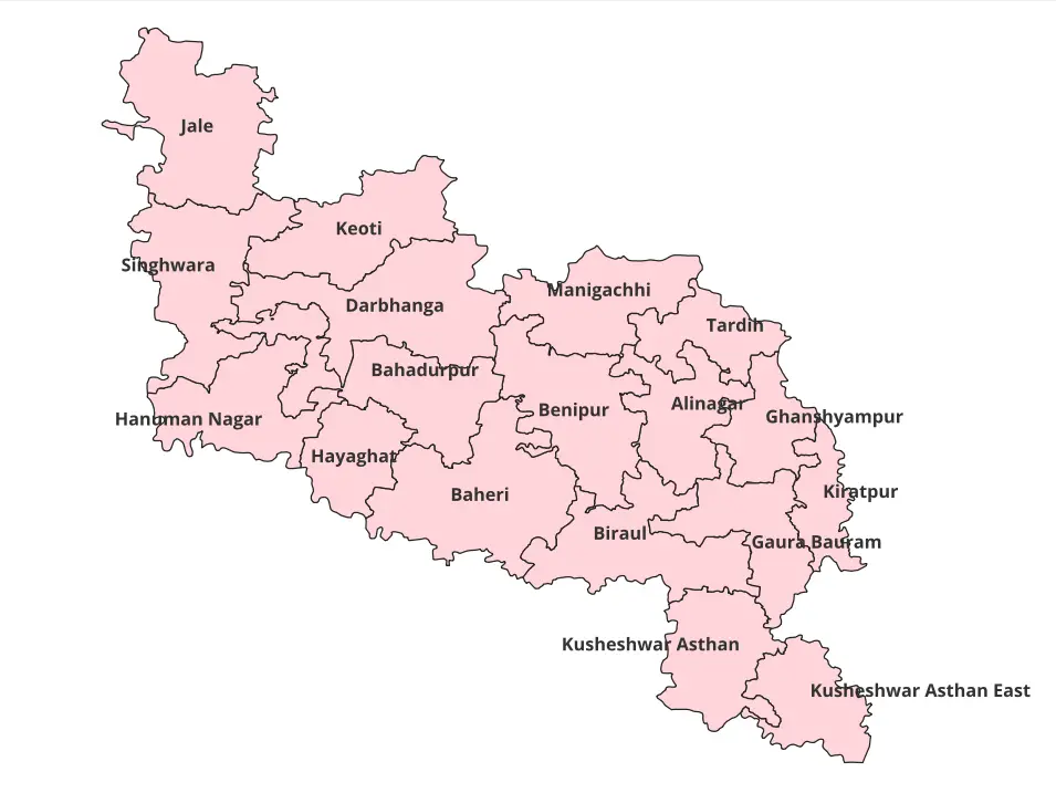
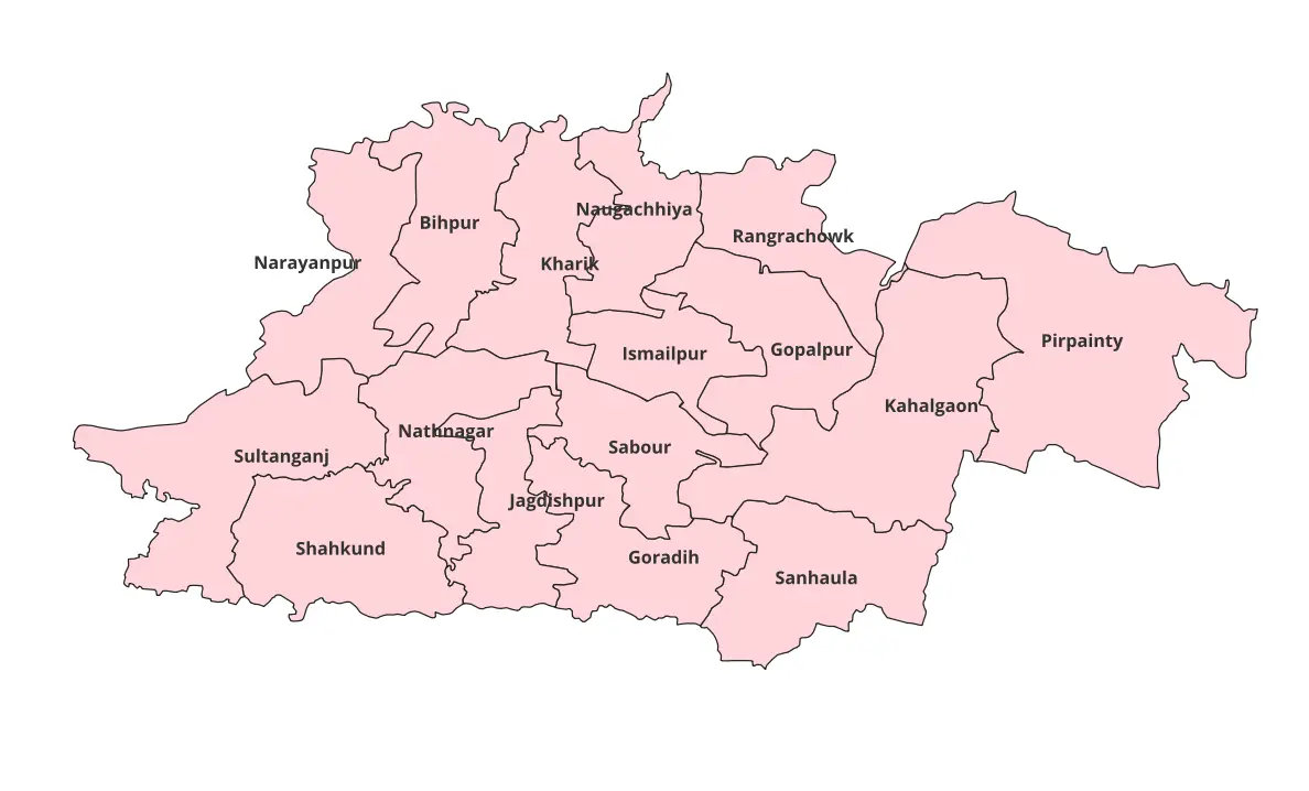
- Block-Level Shapefiles: Covers over 500 blocks, ideal for micro-level analysis.
- Projection System: WGS84 (EPSG:4326) for universal compatibility.
- Complete File Set: Includes
.shp,.shx,.dbf,.prj, and metadata.
Applications
- Urban and Rural Planning
- Environmental Analysis
- Academic Research
- Infrastructure Development
- Policy and Decision Making
Why Choose Bihar Shapefiles 2025?
- Up-to-Date Data: Reflects the most recent administrative changes as of 2025.
- High Compatibility: Seamlessly integrates with leading GIS platforms.
- Time-Saving: Pre-processed and ready to use for instant results.
- Versatility: Ideal for academic, professional, and commercial use.
Specifications
- Format: ESRI Shapefile
- Projection System: WGS84 (EPSG:4326)
- Language: English
Usage Terms
- Licensing: Suitable for educational purposes.
- Restrictions: Redistribution or reselling is prohibited.
Support & Assistance
We are here to help! If you have any questions or need guidance in using the dataset, feel free to reach out.
Make your GIS projects stand out with the Bihar Shapefiles 2025. Download now and experience the difference that accurate, detailed, and reliable spatial data can make!


Kiran (verified owner) –
I downloaded land-use data and it integrated seamlessly into my GIS software. Perfect.
Raj (verified owner) –
As a GIS student, I found this site extremely helpful for my projects. Highly recommend it.
Shruti (verified owner) –
The boundary shapefiles were incredibly accurate. Will definitely use this site again.
Raj (verified owner) –
This website made my GIS work so much easier. Excellent data quality and great support.
Geeta (verified owner) –
I found rare land-cover datasets here that were perfect for my analysis. Amazing platform.
Shalini (verified owner) –
I’m impressed by the simplicity and accuracy of the data here. Fantastic resource for GIS professionals.
Shreya (verified owner) –
It’s hard to find such accurate and reliable GIS datasets online. This site is a gem.
Siddharth (verified owner) –
I needed historical land use data for a project, and this site delivered exactly what I needed. The metadata was detailed and very helpful.
Amit (verified owner) –
The shapefiles downloaded perfectly and were compatible with multiple GIS platforms. I appreciate the attention to detail in these datasets.
Ananya (verified owner) –
This website offers incredible value for GIS professionals. The datasets are comprehensive, accurate, and very well-priced.
Rohit (verified owner) –
The detailed shapefiles of state boundaries were exactly what I needed for a client project. I’ll definitely be coming back for more.
Priya (verified owner) –
Affordable and high-quality shapefiles. This website has become my go-to source for all my geospatial data needs.