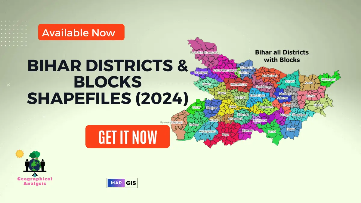
Download shapefiles of all districts of Bihar including all Blocks. Buy these shapefile by paying a small amount and use it in your projects and academic purposes.
We gave a lots of time for creating block-level shapefile of Bihar to ensure accuracy and most updated version.
Download Shapefiles of All Districts of Bihar
These are the 38 districts that make up the state of Bihar in India. All 38 districts shapefile are available to download.
Visit our Product Page:

Bihar’s administrative has 38 Districts: Araria, Arwal, Aurangabad, Banka, Begusarai, Bhagalpur, Bhojpur, Buxar, Darbhanga, East Champaran, Gaya, Gopalganj, Jamui, Jehanabad, Kaimur, Katihar, Khagaria, Kishanganj, Lakhisarai, Madhubani, Munger, Madhepura, Muzaffarpur, Nalanda, Nawada, Patna, Purnia, Rohtas, Saharsa, Samastipur, Sheohar, Sheikhpura, Saran, Sitamarhi, Supaul, Siwan and Vaishali.
Download Blocks Shapefiles of All District of Bihar
We created block-level shapefile separately for each district of Bihar. Click on below link and access the shapefile.
Download India Shapefile Including Jammu, Kashmir and Ladakh
Please note:
- For academic use; not intended for commercial purposes.
- Cite the source of the shapefile when using it in your work (https://geographicalanalysis.com).
For custom map making (Location map and any other GIS maps):
Mail us: admin@geographicalanalysis.com
Visit contact us page: Click here
Disclaimer: While I strive to provide accurate information, please double-check the data source for the latest updates and licensing terms.


