We need shapefile for GIS related task. You can download India shapefile including Kashmir and Ladakh. India state shapefile download from this page. India shapefile file download along with Updated Jammu-Kashmir, and Ladakh shapefile.
The Union Territory of Jammu and Kashmir and the Union Territory of Ladakh were created on October 31, 2019, following the division of the Jammu and Kashmir State into two new Union Territories.
The Union Territories of Daman and Diu and Dadra and Nagar Haveli were combined on January 26, 2020, creating the Union Territories of Dadra and Nagar Haveli and Daman and Diu.
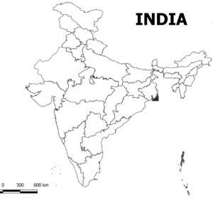
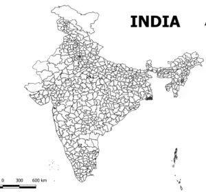
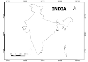
Three types of shapefiles are available here.
- India boundary shapefile
- India States shapefile
- District level Shapefiles
Download India States Boundary Shapefile
Visit our Product Page:

Download India Districts Shapefile
Visit our Product Page:

Download India Outline Shapefile

I hope It will help you in your educational work.
Shapefiles may contain errors in some cases. Always check your study area.
West Bengal District Shapefiles free download (updated)
Download shapefile of West Bengal along with all districts
N.B. Download Free India Shapefiles are shared for educational purposes only.


