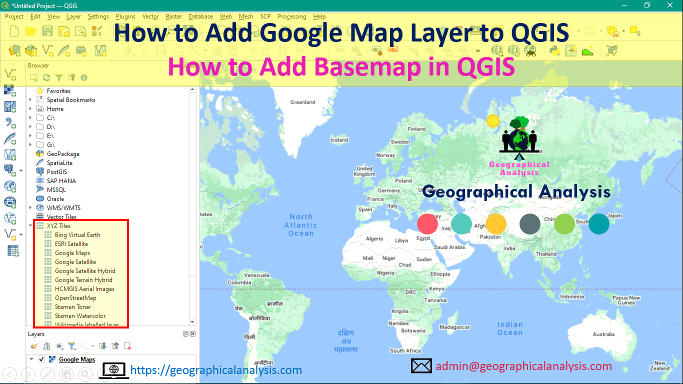
In this article, we will learn How to Add Google Map Layer to QGIS. Process of Adding basemap in qgis. We will do this process using xyz tiles in qgis.
You can use various plugins for adding google Maps or basemap in qgis. Examples – Tile+ Plugin, QuickMapServices, and OpenLayers Plugin.
Step 1: Browser Panel
On Browser Panel, Right-click on XYZ Tiles and Click on New Connection


Step 2: Input URL
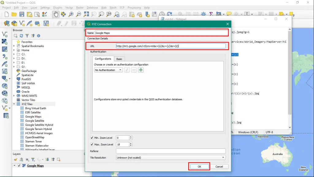
Give Name and Input URL. You can copy and paste the URL from this article. Next, click on OK.


Step 3: XYZ Tiles name
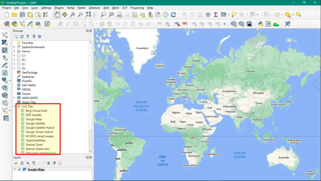
Now, Double click on XYZ Tiles name, whichever you added. A map will be loaded on Layer Panel.


URL for Various Maps:
Bing Virtual Earth
http://ecn.t3.tiles.virtualearth.net/tiles/a{q}.jpeg?g=1
ESRI Satellite
https://server.arcgisonline.com/ArcGIS/rest/services/World_Imagery/MapServer/tile/%7bz%7d/%7by%7d/%7bx%7d
Google Maps
http://mt1.google.com/vt/lyrs=m&x={x}&y={y}&z={z}Google Satellite
http://mt1.google.com/vt/lyrs=s&x={x}&y={y}&z={z}
Google Satellite Hybrid
http://mt1.google.com/vt/lyrs=y&x={x}&y={y}&z={z}
Google Terrain Hybrid
http://mt1.google.com/vt/lyrs=p&x={x}&y={y}&z={z}
HCMGIS Aerial Images
http://trueortho.hcmgis.vn/basemap/cache_lidar/{z}/{x}/{y}.jpg
OpenStreetMap
http://tile.openstreetmap.org/{z}/{x}/{y}.png
Stamen Toner
http://a.tile.stamen.com/toner/{z}/{x}/{y}.png
Stamen Watercolor
http://c.tile.stamen.com/watercolor/{z}/{x}/{y}.jpg
Wikimedia labelled layer
https://maps.wikimedia.org/osm-intl/{z}/{x}/{y}.png
Hope this article will help you to add various maps in QGIS using XYZ Tiles.


