Description
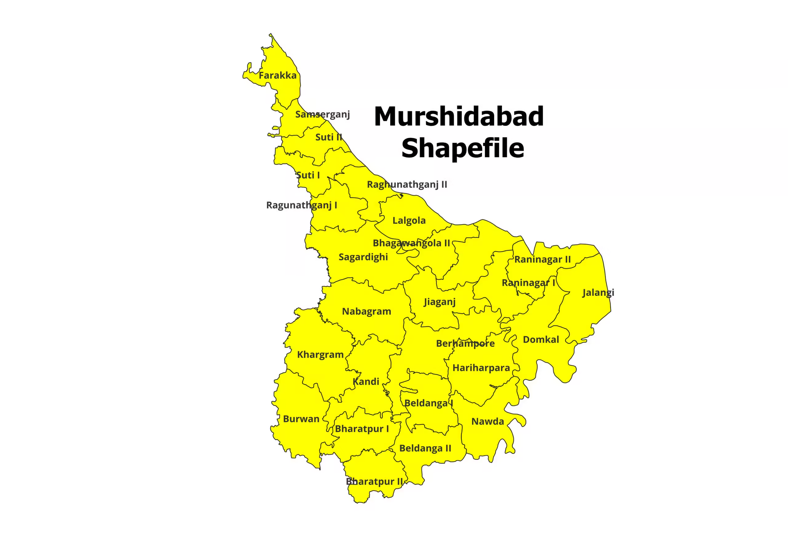
Murshidabad District Shapefile – Precision Geospatial Data for Research and Analysis
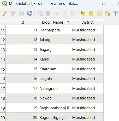
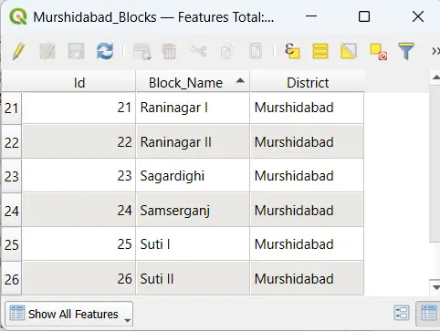
Access highly detailed and accurate shapefiles for Murshidabad District, perfect for GIS professionals, researchers, and planners. This shapefile offers precise district and block-level boundaries, making it an invaluable resource for geospatial analysis, infrastructure planning, and academic research.
Key Features:
- Comprehensive shapefile of Murshidabad District, including all administrative blocks.
- Compatible with leading GIS software such as QGIS, ArcGIS, and MapInfo.
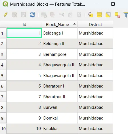
- Standard file formats included: (.shp, .dbf, .shx, .prj) for seamless integration.
- Ideal for demographic studies, policy-making, resource management, and custom map creation.
Steps to Download Murshidabad Shapefile:
- Purchase: Click “Add to Cart” or “Buy Now” to complete the payment process.
- Download: Instantly access the download link upon successful payment.
- Extract: The shapefile comes in ZIP format. Extract the files (.shp, .dbf, .shx, etc.).
- Start Exploring: Import the shapefile into your preferred GIS software and begin analyzing Murshidabad’s detailed geospatial data.
Applications:
- Research & Academia: Use for spatial modeling, demographic analysis, and regional planning.
- Urban & Rural Development: Plan and prioritize infrastructure and development projects.
- Government & Policy Planning: Facilitate resource allocation and decision-making.
- Business & Marketing: Leverage data for location-based services and strategic expansion.
Please Note:
- For academic and research purposes only; not intended for commercial use.
- Cite the source: https://geographicalanalysis.com when using this shapefile in your work.
For Custom Mapping Services:
- Email us: admin@geographicalanalysis.com
- Visit the Contact Us page: Click here
Disclaimer:
Data accuracy is prioritized, but users should verify details and licensing terms before use.
Unlock the potential of geospatial analysis with the Murshidabad District Shapefile. Download now and start your project!

Manish (verified owner) –
I’ve been using this site for over a year, and the consistent quality of the shapefiles keeps me coming back. Fantastic resource for GIS enthusiasts
Rohit (verified owner) –
This website offers incredible value for GIS professionals. The datasets are comprehensive, accurate, and very well-priced.
Ananya (verified owner) –
I appreciate the clear descriptions provided for each shapefile. It made it easy to find exactly what I was looking for. A must-visit site for GIS data
Nandini (verified owner) –
The shapefiles downloaded perfectly and were compatible with multiple GIS platforms. I appreciate the attention to detail in these datasets.
Amit (verified owner) –
Affordable and high-quality shapefiles. This website has become my go-to source for all my geospatial data needs.
Pooja (verified owner) –
Finding this site was like hitting a jackpot. The datasets are well-structured, and the variety is just amazing. Thank you for making GIS work easier
Amit (verified owner) –
The river network shapefiles I downloaded were flawless. They integrated seamlessly with my GIS software. Great job, team.
Meera (verified owner) –
The topographical shapefiles I purchased were incredibly accurate and helped me complete my mapping project on time. Great service!
Nandini (verified owner) –
I had a small issue with one of the downloads, and the support team resolved it immediately. Excellent customer service!
Aarav (verified owner) –
As a freelancer, having access to reliable GIS data is critical. This website has never let me down. The customer service is also outstanding!
Kabir (verified owner) –
As a freelancer, having access to reliable GIS data is critical. This website has never let me down. The customer service is also outstanding!