Description
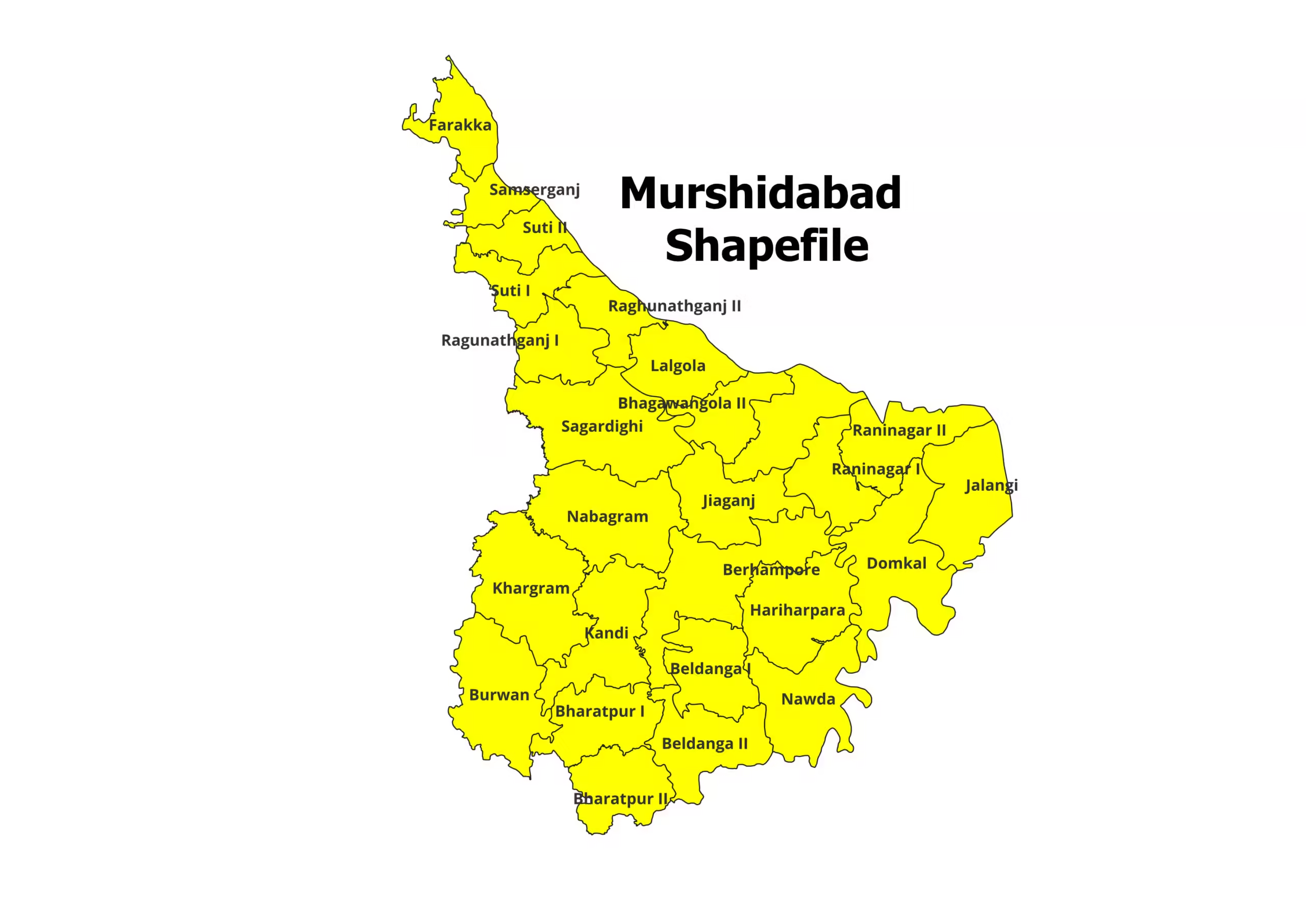
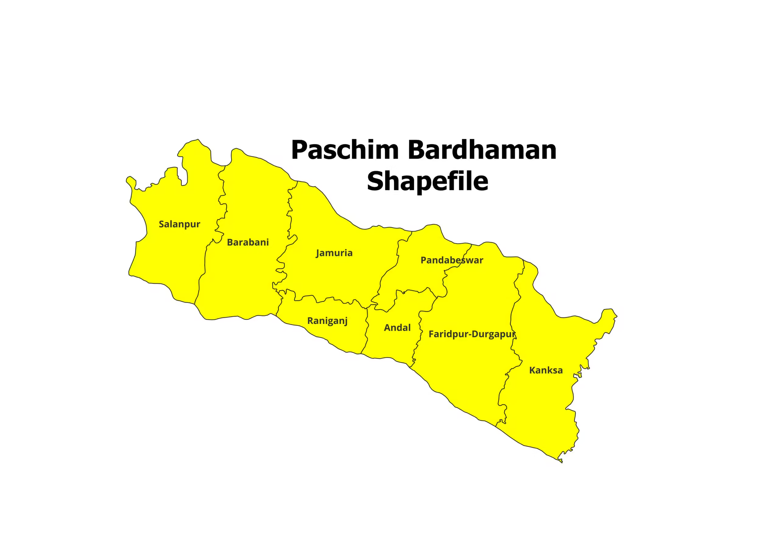
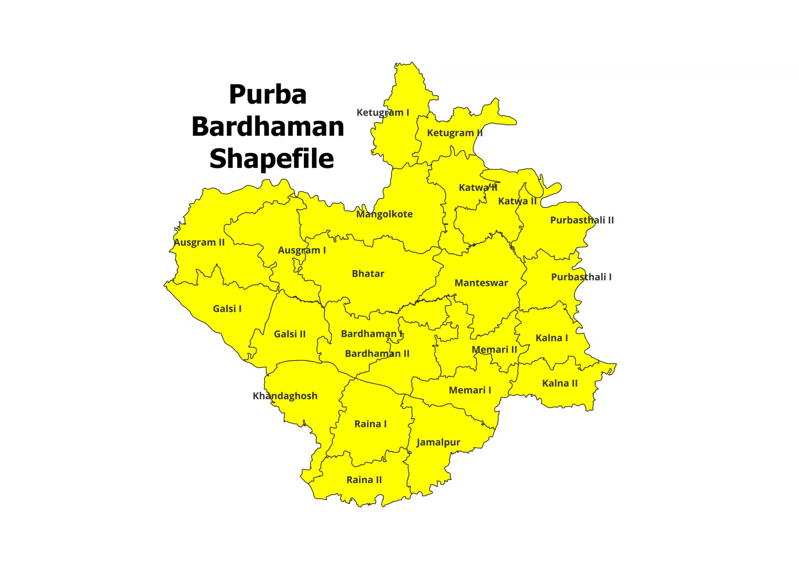
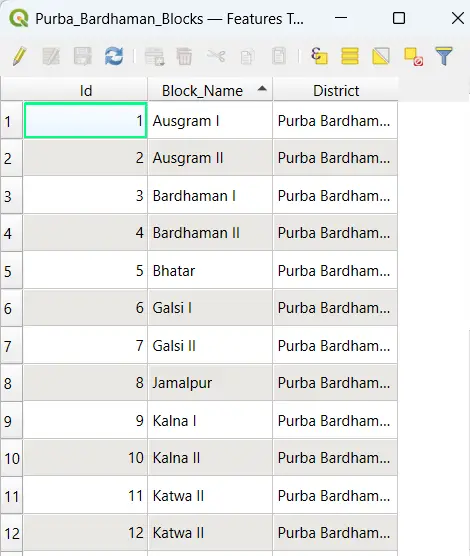
Purba Bardhaman District Shapefile – Precise Geospatial Data for GIS Applications
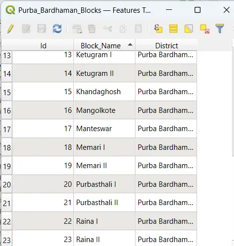
Enhance your GIS projects with the Purba Bardhaman District Shapefile, a comprehensive and detailed geospatial dataset designed for researchers, planners, and GIS professionals. This shapefile provides accurate district and block-level boundaries, enabling precise spatial analysis and decision-making.
Key Features:
- Complete shapefile of Purba Bardhaman District, covering all administrative blocks.
- Compatible with major GIS platforms such as QGIS, ArcGIS, and MapInfo.
- Includes essential file formats (.shp, .dbf, .shx, .prj) for easy integration.
- Ideal for research, urban and rural planning, policy-making, and academic studies.
Steps to Download Purba Bardhaman Shapefile:
- Purchase: Click the “Add to Cart” or “Buy Now” button and complete the payment process.
- Download: Instantly access the download link upon successful payment.
- Extract: The shapefile is provided in a ZIP format. Extract the files to access formats like .shp, .dbf, and .shx.
- Start Exploring: Import the shapefile into your preferred GIS platform and analyze the rich spatial data of Purba Bardhaman District.
Applications:
- Academic Research: Conduct detailed spatial studies and demographic analysis.
- Government & Policy Planning: Develop projects and allocate resources efficiently using accurate boundary data.
- Urban & Rural Development: Plan infrastructure, resources, and services for communities.
- Business & Marketing: Leverage detailed geographic data for location-based services and market expansion.
Please Note:
- This shapefile is for academic and research purposes only and is not intended for commercial use.
- Cite the source: https://geographicalanalysis.com in your work when using this data.
For Custom Mapping Services:
- Email us: admin@geographicalanalysis.com
- Visit the Contact Us page: Click here
Disclaimer:
We strive to provide accurate data; however, we recommend verifying the information and licensing terms before use.
Download the Purba Bardhaman District Shapefile today and unlock accurate geospatial insights for your GIS projects!
Nandini (verified owner) –
This website offers incredible value for GIS professionals. The datasets are comprehensive, accurate, and very well-priced.
Vikram (verified owner) –
I appreciate the clear descriptions provided for each shapefile. It made it easy to find exactly what I was looking for. A must-visit site for GIS data
Ishita (verified owner) –
I’m impressed with the quality control of the shapefiles. The datasets are clean, accurate, and ready to use. Highly recommend this platform.
Manish (verified owner) –
Fast, reliable, and affordable. This website ticks all the boxes for anyone needing GIS shapefiles. Will be recommending it to my colleagues.
Rohit (verified owner) –
The collection here is fantastic! I was surprised to find even rare datasets that are hard to get elsewhere. Great work
Manish (verified owner) –
I’ve been using this site for over a year, and the consistent quality of the shapefiles keeps me coming back. Fantastic resource for GIS enthusiasts
Aarav (verified owner) –
I was looking for ecological shapefiles for a conservation project, and I found everything I needed here. The datasets are of exceptional quality.
Pooja (verified owner) –
This website offers incredible value for GIS professionals. The datasets are comprehensive, accurate, and very well-priced.
Ananya (verified owner) –
The river network shapefiles I downloaded were flawless. They integrated seamlessly with my GIS software. Great job, team.
Amit (verified owner) –
Finding this site was like hitting a jackpot. The datasets are well-structured, and the variety is just amazing. Thank you for making GIS work easier
Siddharth (verified owner) –
The topographical shapefiles I purchased were incredibly accurate and helped me complete my mapping project on time. Great service!