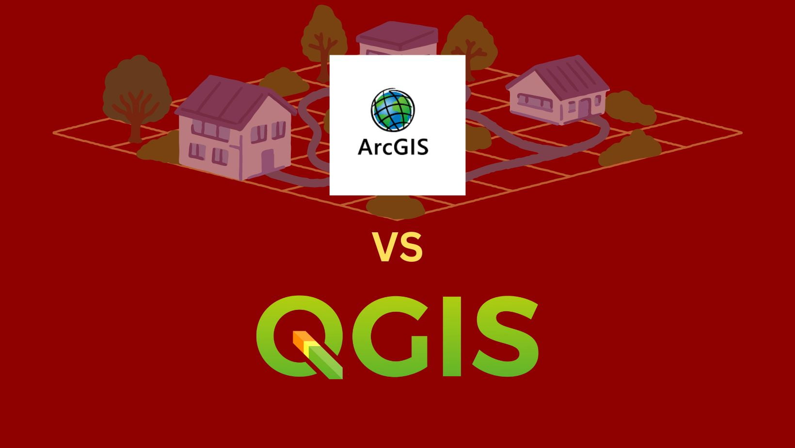
Are you looking for the right GIS platform for your project? With so many different options on the market, it can be challenging to know which one will offer you the best results. In this blog post, we’ll compare two of the most popular: ArcGIS vs QGIS. We’ll break down each option from software features to ease of use and cost-effectiveness to help you decide which GIS platform is right for you. Read on to learn more!
Define what is GIS and its purpose
GIS, or “Geographic Information System,” is a computer tool that stores, retrieves, and analyzes geographic information. GIS works by modelling and managing data on layers such as roads, land use, elevation, etc. GIS can then represent reflected design elements in a location graphically. GIS technology has revolutionized how trends of physical geography are studied and mapped.
Two popular GIS software platforms are QGIS (previously Quantum GIS) and ArcGIS, which ESRI developed. The flexibility of GIS has led it to be utilized both inside corporate settings for day-to-day operations such as marketing and sales analysis and outside of commercial applications such as environmental monitoring of ecosystems or statistically autopsying disease transmission through population density maps.
In short, GIS provides organizations with the ability to produce spatial information helpful in decision-making based on data encoded with spatial dimensions –- whether from the emergence of new foods requiring delivery routes in rural counties or detecting those affected by natural disasters in need of aid.
See Stories about the Advantages of QGIS
Introduce ArcGIS and QGIS – two of the most popular GIS platforms
ArcGIS and QGIS are two of the most widely-employed GIS platforms today. ArcGIS offers a comprehensive mapping platform, ranging from desktop applications to cloud-based services, while QGIS is an excellent open-source option that has grown considerably in popularity over recent years, especially due to its range of tools and options available within the software.
Both programs allow users to import different spatial data types, analyze them, and create visualizations for various purposes. With the ability to project data into any spatial reference system and immense user bases, these programs are essential for professionals and hobbyists looking to explore geographic information systems in more depth.
What are ArcGIS and QGIS?
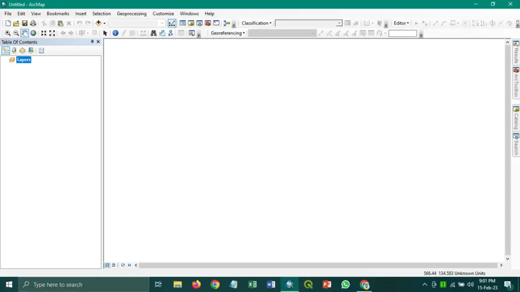
ArcGIS is a full-featured GIS developed by Esri. It can be used for desktop, web, and mobile applications. ArcGIS offers robust mapping, analysis, and data management tools that help users create detailed maps, query data layers, and perform spatial analytics. It also has a wide range of prebuilt apps, templates and data models that help users get up and running quickly.
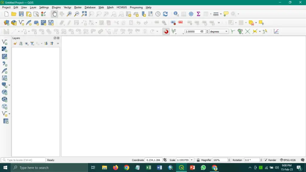
QGIS is a free and open-source GIS software package primarily developed by volunteers worldwide. It supports many vector and raster formats, allowing for the manipulation of large amounts of spatial data. QGIS also has a range of powerful graphical and analysis tools that can create detailed maps, query data layers, and perform complex spatial analyses. It also includes a selection of plugins for additional functionality.
The benefits of ArcGIS and QGIS
ArcGIS offers many advantages over other GIS platforms. It provides a comprehensive suite of mapping, analysis, data management, and visualization tools. These features make it ideal for commercial or enterprise use in town planning, engineering, marketing, and geospatial analytics. Its numerous apps and templates can also give users a head start on their projects.
QGIS has become increasingly popular due to its affordability, ease of use, and robust tools. It is ideal for hobbyists or small businesses who want to perform GIS tasks without the cost associated with ArcGIS. QGIS also provides excellent support through forums and tutorials, making it easy for users of any experience level to get started. Additionally, its selection of plugins can add even more capabilities to the software.
In conclusion, ArcGIS and QGIS are powerful GIS platforms that provide a range of tools for mapping, analysis, data management and visualization. Whether you’re looking for a commercial GIS solution with all the bells and whistles or an open-source option with plenty of customization, either platform can help you get the job done. Regardless of your needs, each program offers unique advantages that make it well-suited for many types of geographic analysis.
ArcGIS vs QGIS in terms of features, functionality, ease of use, etc.
Regarding features and functionality, both ArcGIS and QGIS provide a diverse set of tools for users. ArcGIS is more feature-rich than QGIS, with advanced mapping capabilities such as 3D terrain modelling and street view integration. It also can access data from the cloud and other sources in real time.
QGIS is open source and can be used for free, making it an excellent choice for those with limited budgets. It has many of the same features as ArcGIS, albeit slightly less polished. It also has extra features, such as time animation tools not available in ArcGIS.
Features & Functionality
ArcGIS and QGIS offer various features that allow users to map and analyze their data. ArcGIS is a comprehensive system with feature-rich tools such as advanced analytics, 3D visualization capabilities, and an intuitive user interface. It also offers access to a vast library of ready-to-use maps via its online portal. On the other hand,
QGIS is a free open-source software package with similar functionality but fewer bells and whistles than ArcGIS. While it may lack some of the more advanced features of its commercial counterpart, it still provides powerful tools such as raster analysis capabilities and 3D visualization options.
Usability & Support
Regarding usability, ArcGIS and QGIS have easy-to-use graphical interfaces that make them accessible to users regardless of experience level. However, if you run into issues while using either platform, you’ll want to take advantage of their support offerings. With ArcGIS, users can access extensive documentation and technical support from Esri’s team of experts; however, this does come at an additional cost.
On the other hand, since QGIS is open source, its community provides free peer support through discussion forums or mailing lists where users can get answers to any questions about the software or their data sets.
Cost & Licensing
The cost difference between these two GIS platforms couldn’t be more precise; while Arcgis requires an annual subscription fee to use all its features (which can range anywhere from several thousand dollars per year),
QGIS is free, with no license required! This makes it an attractive option for those who don’t need all the bells and whistles offered by the paid version but still want a reliable GIS platform at no cost whatsoever.
How to choose the right GIS platform for you
Ultimately, deciding which GIS platform to use depends on your individual needs and preferences. ArcGIS is a good option if you are looking for a comprehensive mapping platform with advanced capabilities and access to real-time data.
However, if you’re on a budget or want to explore more basic GIS functions, then QGIS is a great option. Both options provide powerful tools for manipulating and visualizing spatial data, so the choice boils down to which one suits your particular needs best.
No matter which GIS platform you choose, it will open up an exciting new world of spatial analysis and mapping that can be used to gain insights from data that would otherwise be hidden. All you need to do is pick the right platform for your project and get started!
Conclusion
Choosing between ArcGIS and QGIS isn’t always easy; each platform has its advantages and disadvantages, depending on your specific needs. Each platform provides users with powerful tools for manipulating and visualizing spatial data while offering different levels of features and functionality. Depending on one’s individual needs, either platform may be the right choice for their project.
If you need robust features such as advanced analytics or 3D visualization capabilities, then ArcGIS may be worth the investment; however, if you need basic functionality, then QGIS could be a great choice since it’s free! Ultimately it’s up to you to decide which GIS platform best fits your needs – ArcGIS or QGIS – so take some time to research before making your decision! Good luck!.
Latest Stories:
[web_stories title=”false” excerpt=”false” author=”false” date=”false” archive_link=”true” archive_link_label=”” circle_size=”150″ sharp_corners=”false” image_alignment=”left” number_of_columns=”1″ number_of_stories=”5″ order=”DESC” orderby=”post_title” view=”circles” /]