Download QGIS, a free and open-source Geographic Information System (GIS) program that lets you view, edit, and analyze geospatial data. QGIS works with many different data formats and sources and has many tools for spatial analysis, managing data, and showing data.
How to Download QGIS Software?
If you’re a geospatial analyst or researcher, you’re familiar with QGIS. It’s an open-source Geographic Information System (GIS) software that allows users to visualize, edit, analyze, and manage geospatial data. QGIS is a popular alternative to commercial GIS software that government agencies, NGOs, and research institutions often use.
In this blog post, we’ll look closely at QGIS and guide you through downloading and installing the software on your computer.
What is QGIS Software?
QGIS is a free and open-source GIS software that allows users to create, edit, analyze, and publish geospatial data. It was first released in 2002 and has become one of the most popular GIS software packages. A community of volunteers created QGIS, which is available for Windows, Mac, and Linux.
QGIS supports a wide range of data formats, such as vector data (points, lines, and polygons), raster data (satellite imagery, digital elevation models, and other gridded data), and data from different sources, such as online services and databases.
QGIS has many tools and functions for analyzing data, such as spatial analysis, data management, and visualizing data. It also supports a range of plugins and extensions that allow users to extend the software’s functionality.
Learn More: ArcGIS vs QGIS – Which GIS Platform is Right for You?
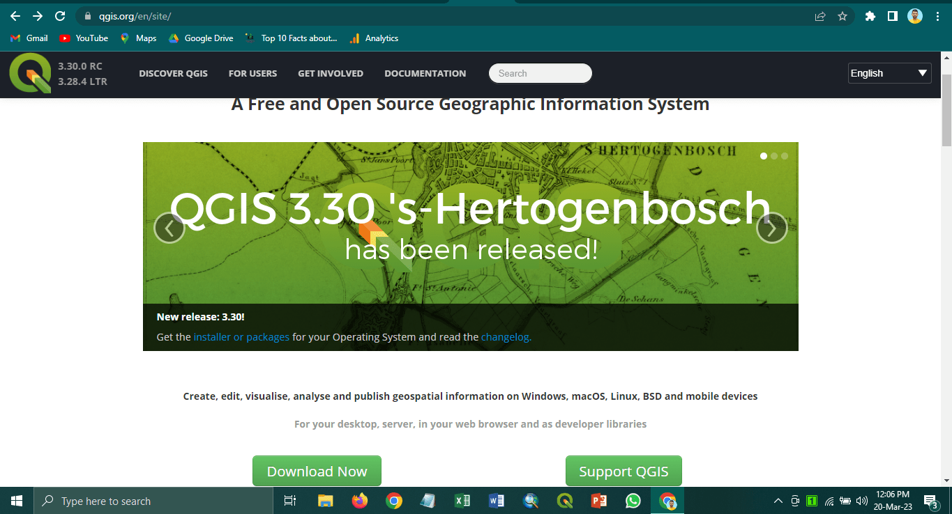
Download QGIS
To download QGIS, you can visit the official QGIS website at qgis.org. You’ll find download links on the website for different operating systems, including Windows, Mac, and Linux.
Download QGIS for Windows
If you’re using Windows, you can download the QGIS installer from the QGIS website. Here’s how to download and install QGIS on a Windows computer:
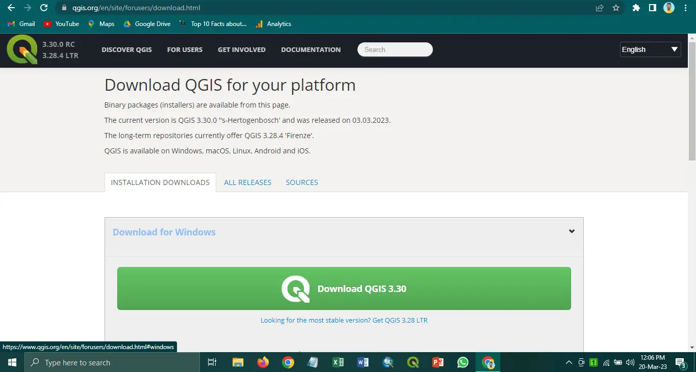
- Go to the QGIS website at qgis.org.
- Click on the “Download Now” button at the top of the page.
- Scroll down and find the section for Windows.
- Click on the button “Download QGIS” for the version of QGIS that you want to download. The latest stable version is the best option.
- The download will start automatically. Once the download is complete, open the downloaded file.
- Follow the instructions in the installer to install QGIS on your computer.
Download QGIS for Mac
If you’re using a Mac operating system, you can download the QGIS installer from the QGIS website. Here’s how to download and install QGIS on a Mac:
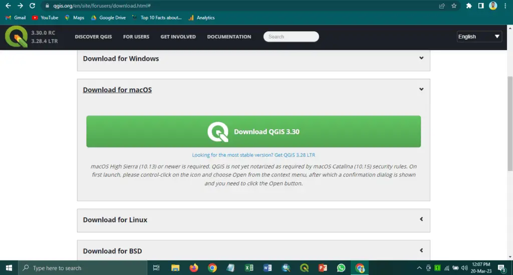
- Go to the QGIS website at qgis.org.
- Click on the “Download Now” button at the top of the page.
- Scroll down and find the section for Mac.
- Click on the button “Download QGIS” for the version of QGIS that you want to download. The latest stable version is the best option.
- The download will start automatically. Once the download is complete, open the downloaded file.
- Drag the QGIS icon to the Applications folder to install QGIS on your computer.
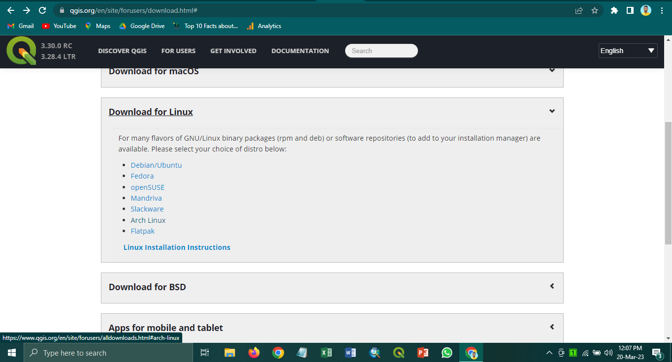
Download QGIS for Linux
If you’re using Linux, you can download QGIS from your distribution package manager. For example, here’s how to download and install QGIS on Ubuntu:
- Open the Ubuntu Software Center.
- Search for “QGIS” in the search bar.
- Click on the QGIS package and click on the “Install” button.
- Enter your password when prompted.
- QGIS will be installed on your computer.
Download QGIS All Released Version
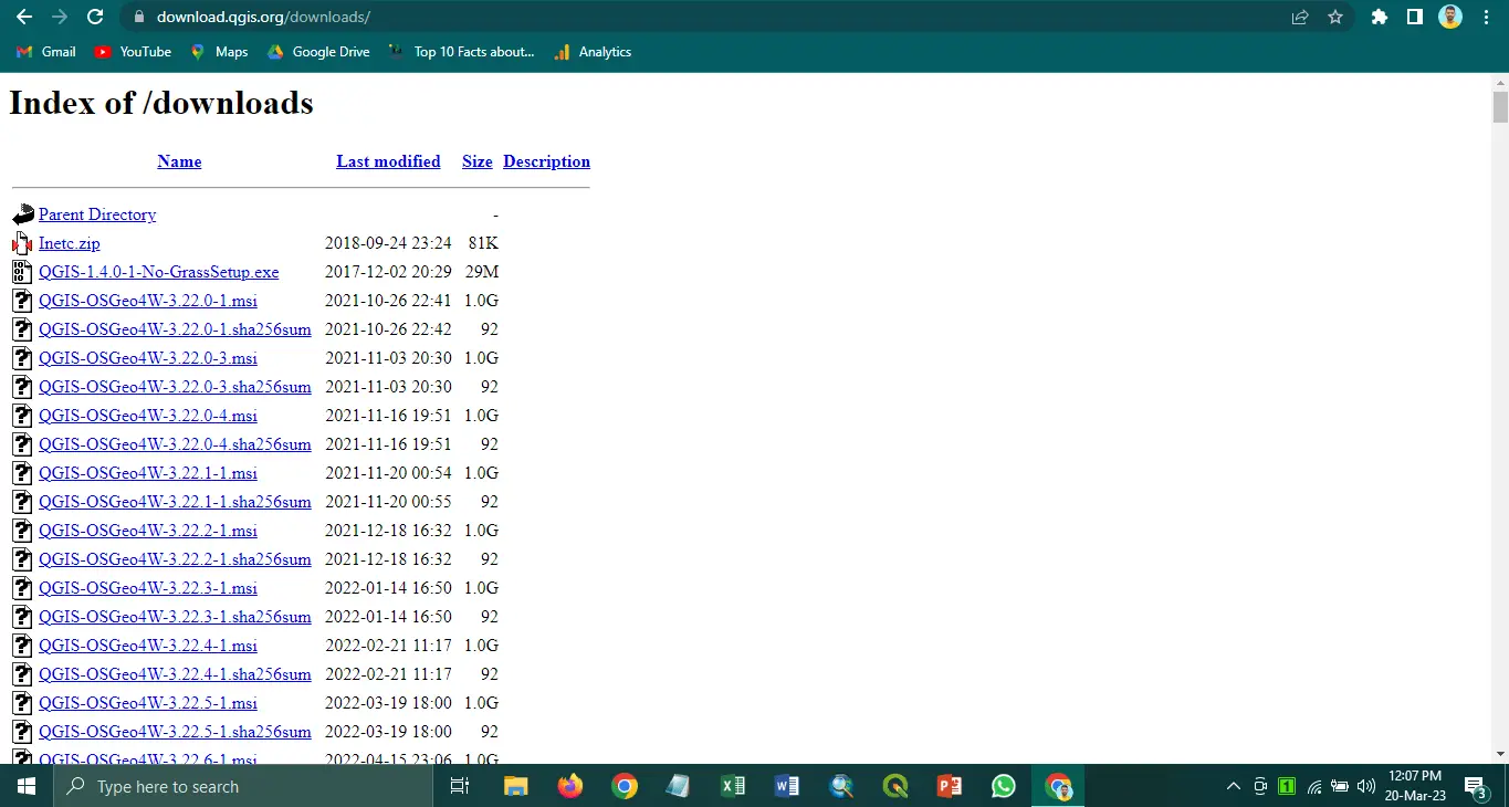
To download all releases of QGIS, you can visit the QGIS Download Page (https://download.qgis.org/downloads/) and scroll down to the “All Releases” section. Here you will find a list of all available QGIS releases, including the latest stable release and previous releases.
Click the corresponding link to access the download page for a specific release. From there, you can choose your operating system and follow the instructions to download QGIS and install the software.
It’s important to note that older releases may have a different level of support or compatibility with newer operating systems and data formats. Therefore, using the latest stable release whenever possible is recommended unless you have a specific need for an older release.
How to use QGIS?
Once you’ve installed QGIS, you can use it with geospatial data. QGIS’s user-friendly interface makes it easy to create, edit, and analyze data. Here’s a brief overview of the QGIS.
QGIS Interface
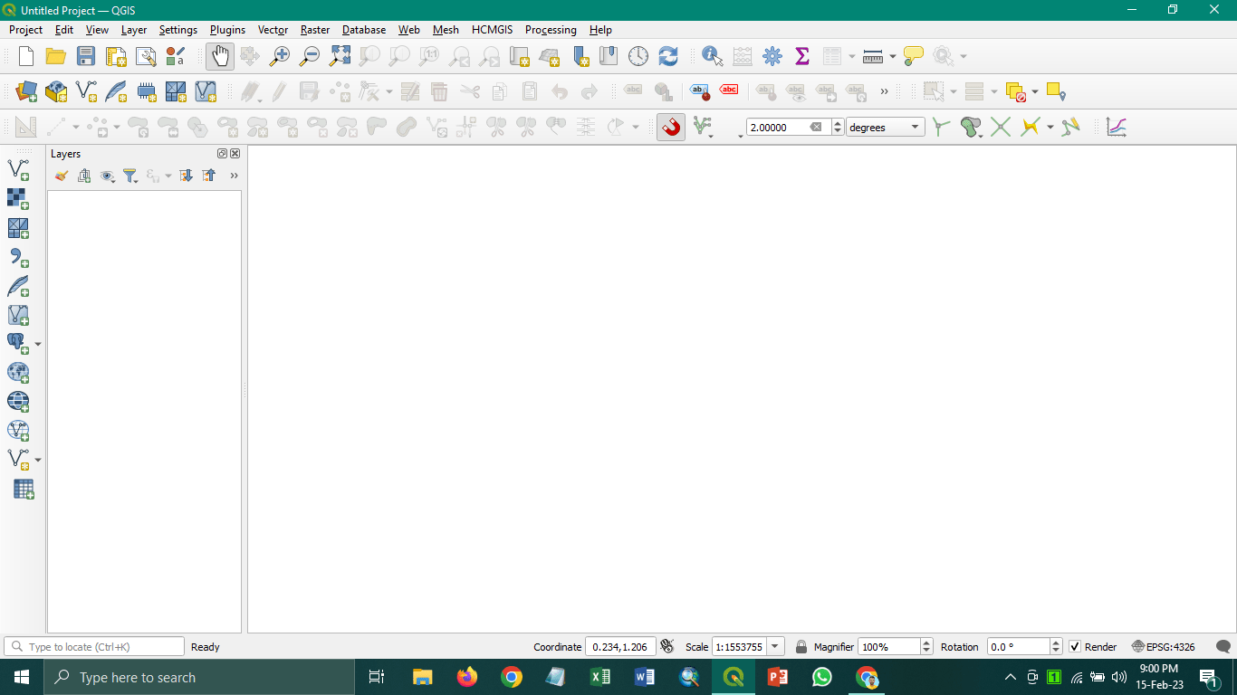
When you first open QGIS, you’ll see a map canvas in the centre of the screen. Where you can view and edit your geospatial data. You’ll see the Layers panel on the left side, which shows all the layers you have loaded into QGIS. You can add new layers by clicking on the “Add Layer” button in the toolbar at the top of the screen.
On the right-hand side of the screen, you’ll see the Processing Toolbox, which contains a range of tools for data analysis and processing. You can also access the Processing Toolbox by clicking on the “Processing” menu at the top of the screen.
At the top of the qgis interface, you’ll see a toolbar that contains a range of buttons for everyday tasks, such as zooming in and out, selecting features, and editing data. In addition, you can customize the toolbar by right-clicking on it and selecting “Customize Toolbar”.
Creating and Editing Data
One of the most valuable features of QGIS is its ability to create and edit geospatial data. For example, you can create new point, line, and polygon layers by clicking the “Add Layer” button in the toolbar and selecting the type you want to create.
To change an existing layer, choose the layer from the Layers panel and click the “Toggle Editing” button on the toolbar. You can then use the editing tools in the toolbar to add, delete, or modify features.
Data Analysis
QGIS provides a range of tools for data analysis and processing. Some of the most commonly used tools in QGIS include:
- Spatial analysis tools, such as buffer, intersection, and proximity analysis
- Data management tools, such as merge, split and dissolve
- Data visualization tools, such as heat maps and thematic maps
Plugins and Extensions

QGIS also supports a range of plugins and extensions that allow users to extend the software’s functionality. You can browse and install plugins by clicking on the “Plugins” menu at the top of the screen.
Some of the most popular plugins include:
- OpenLayers Plugin allows you to add online maps from sources such as Google Maps and OpenStreetMap to your QGIS project.
- QuickMapServices Plugin: provides a range of pre-configured map services you can add to your project.
- TimeManager Plugin: allows you to create time-based animations and visualizations of geospatial data.
Conclusion
Geospatial analysts and researchers often use QGIS because it is a powerful and flexible GIS program. It has different tools for analyzing, managing, and displaying data, and it can work with different data formats and sources.
Downloading and installing QGIS is a straightforward process, and once you’ve installed the software, you can start working with geospatial data immediately. If you’re new to QGIS, plenty of resources are available online, including tutorials, forums, and user guides, to help you get started.