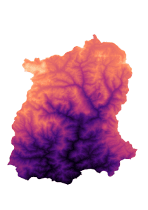
What is Dem?
A Digital Elevation Model (DEM) may be a specialized database that represents the relief of a surface between points of known elevation. By interpolating known elevation data from sources like ground surveys and photogrammetric data capture, an oblong digital elevation model grid is often created.


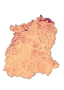
Slope:
The slope is the steepness or the degree of incline of a surface. Slope can’t be computed from the lidar points directly; one must first create either a raster or TIN surface. Then, the slope for a specific location is computed because of the maximum rate of change of elevation between that location and its surroundings. The slope can be expressed either in degrees or as a percentage.


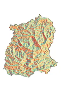
Aspect:
Aspect is the orientation of the slope, measured clockwise in degrees from 0 to 360, where 0 is north-facing, 90 is east-facing, 180 is south-facing, and 270 is west-facing.


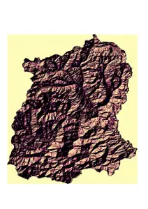
Hillshade:
Hillshading may be a technique wont to visualize terrain as shaded relief, illuminating it with a hypothetical light. The illumination value for every raster cell is decided by its orientation to the sunshine source, which is predicated on slope and aspect.


Download the Sikkim DEM file: click here
Download the Sikkim Shapefile: click here


