Just as technology advances, so does environmental conservation. Geographic Information Systems (GIS) have revolutionized the way we monitor, analyze, and protect our planet’s ecosystems. By utilizing spatial data and advanced mapping techniques, GIS has become an invaluable tool in preserving biodiversity, mitigating the impact of natural disasters, and managing natural resources efficiently. This blog post will explore into the transformative impact that GIS has had on environmental conservation efforts worldwide, highlighting its crucial role in sustainability and ecological preservation.
GIS in Habitat Conservation
Mapping and Monitoring of Habitats
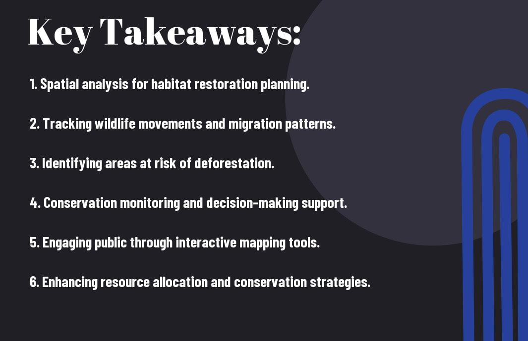
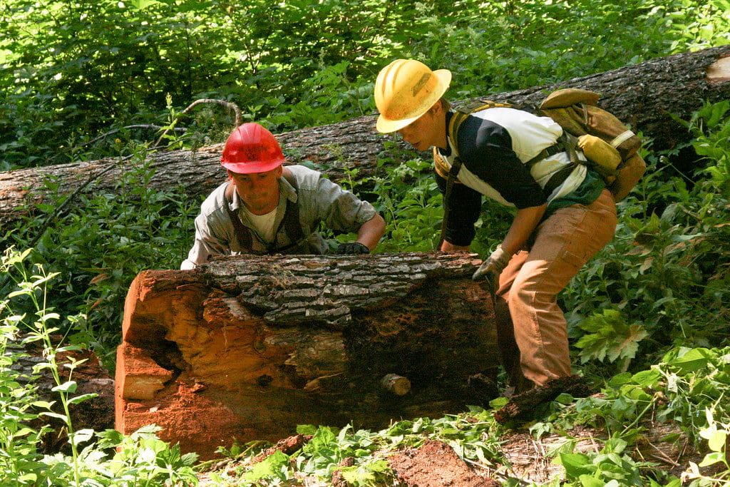
If properly utilized, GIS technology can revolutionize habitat conservation efforts by providing advanced tools for mapping and monitoring various ecosystems. GIS enables conservationists to create detailed maps of habitats, track changes over time, and identify areas in need of protection. By integrating data from satellite imagery, field surveys, and other sources, GIS helps to improve our understanding of habitat dynamics and supports evidence-based decision-making in conservation planning.

Biodiversity Protection and Management Strategies
Protection of biodiversity is a critical goal in habitat conservation, and GIS plays a vital role in developing effective management strategies. GIS tools facilitate the identification of biodiversity hotspots, endangered species habitats, and ecological corridors that are important for supporting diverse ecosystems. By analyzing spatial data on species distribution, habitat quality, and connectivity, conservationists can prioritize conservation actions and implement targeted measures to protect biodiversity.

Biodiversity conservation is important for maintaining the balance of ecosystems and the services they provide to all life on Earth. By leveraging GIS technologies, conservationists can enhance their efforts to safeguard biodiversity and ensure the long-term sustainability of our planet.
Water Resources Management and GIS
Watershed Analysis and Flood Risk Management
Some of the most critical applications of GIS in water resources management revolve around watershed analysis and flood risk management. The ability of GIS to integrate various data layers such as topography, land use, soil type, and precipitation patterns allows for comprehensive watershed modeling. This helps in predicting the flow of water, identifying flood-prone areas, and developing strategies to mitigate flood risks proactively.
Pollution Tracking and Water Quality Improvement
Some of the most significant challenges in water resources management relate to pollution tracking and water quality improvement. Utilizing GIS for monitoring and tracking pollution sources enables authorities to pinpoint and address pollution hotspots more effectively. By analyzing spatial and temporal data, GIS helps in understanding the dynamics of pollution, implementing targeted measures, and monitoring the impact of remedial actions on water quality.

Management of pollution is crucial for protecting water resources and ensuring safe drinking water for communities. With GIS, organizations can visualize spatial patterns of pollutants, track their sources, and implement appropriate measures to improve water quality. This proactive approach not only helps in identifying potential health hazards but also supports ongoing efforts towards sustainable water resource management.
Climate Change Adaptation through GIS
Once again, GIS proves to be an invaluable tool in addressing environmental challenges, particularly in climate change adaptation. Through advanced technologies and spatial analysis, GIS offers a comprehensive approach to mitigating the impacts of climate change on our planet.
Predictive Modeling and Risk Assessment
With predictive modeling and risk assessment techniques, GIS allows researchers and policymakers to anticipate and plan for the potential consequences of climate change. By analyzing data on various environmental factors, GIS can help identify vulnerable areas and populations, enabling targeted interventions and adaptation strategies.
GIS in Carbon Sequestration and Forest Conservation
Modeling the potential for carbon sequestration and monitoring forest conservation efforts are imperative components of climate change adaptation. GIS provides a powerful platform for mapping and analyzing carbon storage capacities in forest ecosystems, guiding conservation efforts and sustainable land use practices.
Change: By utilizing GIS in carbon sequestration and forest conservation, we can enhance our understanding of the role forests play in mitigating climate change. Monitoring and managing forests through GIS technology can lead to more effective conservation strategies that protect biodiversity and reduce greenhouse gas emissions. GIS also helps in promoting sustainable forest management practices that balance environmental conservation with economic development.
GIS and Sustainable Land Use Planning
Urban Development and Green Spaces Preservation
Planning for sustainable land use in urban areas involves balancing the need for development with the preservation of green spaces. GIS technology plays a crucial role in identifying suitable locations for urban expansion while protecting vital green areas such as parks, forests, and wetlands. By analyzing spatial data, urban planners can make informed decisions to promote sustainable development and maintain important ecosystems.
Agricultural Land Use Optimization and Soil Conservation
Soil conservation is a critical aspect of sustainable agricultural practices, and GIS tools are instrumental in optimizing land use for improved soil health. Through soil mapping and analysis, farmers can determine the most suitable crops to plant in specific areas, implement erosion control measures, and manage irrigation effectively. GIS enables precision farming techniques that minimize environmental impact while maximizing crop yield.
GIS technology also helps identify areas at risk of soil degradation or nutrient loss, allowing for targeted conservation efforts to protect valuable farmland for future generations.
Summing up
From above, the impact of GIS on environmental conservation is evident in the way it has revolutionized data collection, analysis, and decision-making processes in the field. By leveraging spatial technologies, GIS has enabled researchers and conservationists to better understand complex environmental issues, plan effective strategies for conservation efforts, and monitor changes in ecosystems over time. Its ability to integrate diverse datasets and visualize patterns has allowed for more informed and proactive approaches to protecting our planet’s biodiversity and natural resources. As GIS continues to evolve and become more accessible, its role in environmental conservation will only grow stronger, helping us address the pressing challenges of our time and work towards a sustainable future for all.