Are you working on a project related to the Darjeeling district in West Bengal, India? Do you need the Darjeeling Blocks Shapefile? If so, then this blog post is for you!
I’m excited to share that you can now download a free Darjeeling blocks shapefile, providing you with accurate boundaries and attributes for all the administrative blocks within the district.
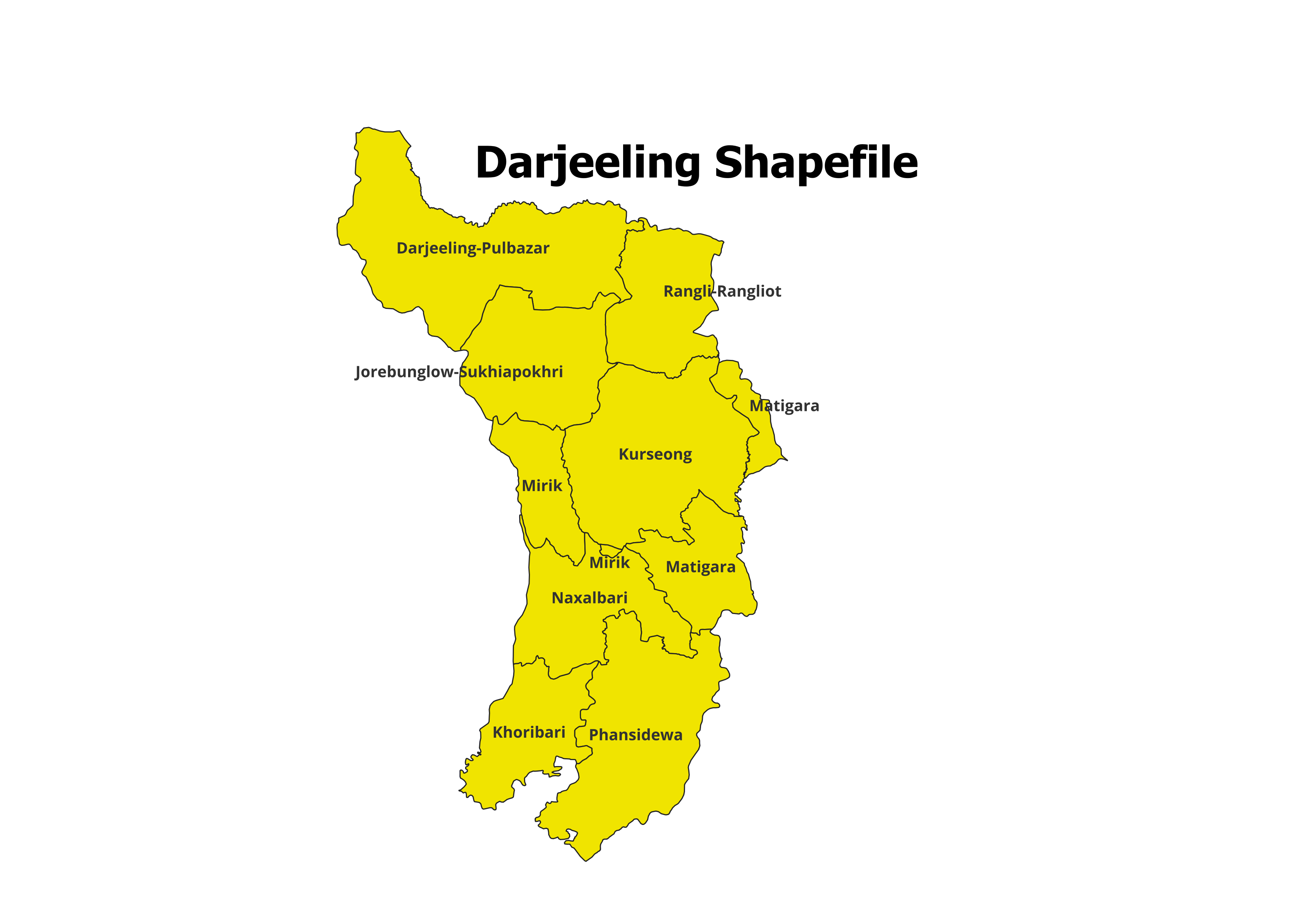
Blocks of Darjeeling
Darjeeling currently has 9 blocks.
- Darjeeling-Pulbazar Block
- Jorebunglow-Sukhiapokhri Block
- Rangli-Rangliot Block
- Kurseong Block
- Mirik Block
- Matigara Block
- Khoribari Block
- Naxalbari Block
- Phansidewa Block
Visit our Product Page:

How to Download the Darjeeling Blocks Shapefile:
- Purchase and save the file to your computer.
- The shapefile will likely be compressed in a ZIP format. Extract the contents of the ZIP file to access the shapefile (.shp) and associated files (.shx, .dbf, etc.).
Use of this Shapefile:
The Darjeeling blocks shapefile can be used with various GIS software programs, such as QGIS, ArcGIS, and GeoPandas. These programs allow you to visualize the shapefile on a map, query its attributes, and perform spatial analysis.
Additional Resources:
- Darjeeling District’s official website
- West Bengal Shapefiles including all Districts and Blocks
- India Shapefile with all States and Districts
Please note:
- For academic use; not intended for commercial purposes.
- Cite the source of the shapefile when using it in your work (https://geographicalanalysis.com).
For custom map making (Location map and any other GIS maps):
Mail us: admin@geographicalanalysis.com
Visit contact us page: Click here
Disclaimer: While I strive to provide accurate information, please double-check the data source for the latest updates and licensing terms.