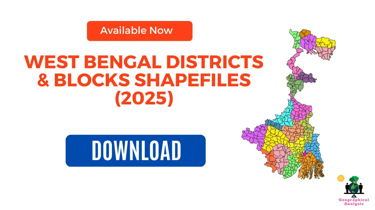
District shapefiles are an essential resource for various applications. In the context of West Bengal, District shapefiles including Blocks Shapefiles of West Bengal provides valuable geospatial data that can be utilized for various purposes.
We gave a lots of time for creating block-level shapefile of West Bengal to ensure accuracy and most updated version.
Download Shapefiles of All Districts of West Bengal
These are the 23 districts that make up the state of West Bengal in India. All 23 districts shapefile are available to download.
Visit our Product Page:

Download Blocks Shapefiles of All District of West Bengal
We created block-level shapefile separately for each district of West Bengal. Click on below link and access the shapefile.
| Districts Shapefile (Block-level) | Link |
| Alipurduar | Click Here |
| Bankura | Click Here |
| Birbhum | Click Here |
| Cooch Behar | Click Here |
| Dakshin Dinajpur (South Dinajpur) | Click Here |
| Darjeeling | Click Here |
| Hooghly | Click Here |
| Howrah | Click Here |
| Jalpaiguri | Click Here |
| Jhargram | Click Here |
| Kalimpong | Click Here |
| Kolkata | Click Here |
| Malda | Click Here |
| Murshidabad | Click Here |
| Nadia | Click Here |
| North 24 Parganas | Click Here |
| Paschim Medinipur (West Medinipur) | Click Here |
| Paschim Bardhaman (West Burdwan) | Click Here |
| Purba Bardhaman (East Burdwan) | Click Here |
| Purba Medinipur (East Medinipur) | Click Here |
| Purulia | Click Here |
| South 24 Parganas | Click Here |
| Uttar Dinajpur (North Dinajpur) | Click Here |
Download India Shapefile Including Jammu, Kashmir and Ladakh
Steps to Download District Shapefiles
1. Purchase: Visit product page and complete the payment process.
2. Download: Upon successful payment, you’ll receive instant access to the download link.
3. Extract: The shapefile will likely be compressed in ZIP format. Extract the contents to access the shapefile (.shp) and associated files (.shx, .dbf, etc.).
4. Start Exploring: Import the shapefiles into your preferred GIS software and start exploring the districts of West Bengal with precision and confidence.
Please note:
- For academic use; not intended for commercial purposes.
- Cite the source of the shapefile when using it in your work (https://geographicalanalysis.com).
For custom map making (Location map and any other GIS maps):
Mail us: admin@geographicalanalysis.com
Visit contact us page: Click here
Disclaimer: While I strive to provide accurate information, please double-check the data source for the latest updates and licensing terms.
FAQs
How can I use district shapefiles for demographic analysis?
District shapefiles can be used to analyze population distribution, identify demographic trends, and compare socioeconomic factors across different regions within West Bengal. By overlaying the shapefiles with relevant data, you can gain valuable insights into the demographic landscape of the districts.
Are district shapefiles available for other states in India?
Yes, district shapefiles are commonly available for other states in India as well. Many state governments provide these shapefiles through their official websites or data portals. Non-government organizations and research institutions may also offer shapefiles for various states.
Can I edit or customize the district shapefiles?
Yes, district shapefiles can be edited or customized using GIS software or other geospatial tools. However, it is recommended to maintain a backup of the original shapefile before making any modifications. Additionally, be cautious when editing shapefiles, as inaccuracies or errors could impact the reliability of the data.
Are there any legal restrictions on the use of shapefiles?
The usage of district shapefiles is generally unrestricted for non-commercial purposes. However, it is crucial to refer to the licensing or usage agreements provided by the data source or government authority. Some shapefiles may have specific terms of use, particularly if they include sensitive or restricted information.
Can district shapefiles be used in GIS software?
Yes, district shapefiles are compatible with most GIS software applications. Popular GIS software such as ArcGIS, QGIS, and MapInfo can read, display, and analyze district shapefiles. These software tools provide a wide range of functionalities to work with geospatial data, making it easier to explore and interpret the shapefile’s information.


