If you’re looking to download the United States shapefile, you’ve come to the right place. This comprehensive guide will walk you through everything you need to know about shapefiles, their significance, and how to obtain the United States shapefile for your specific needs. Whether you’re a GIS professional, a researcher, or simply curious about geographical data, this article will provide you with the necessary information to access the United States shapefile.
Downloading United States Shapefile
To download the United States shapefile, follow these steps:
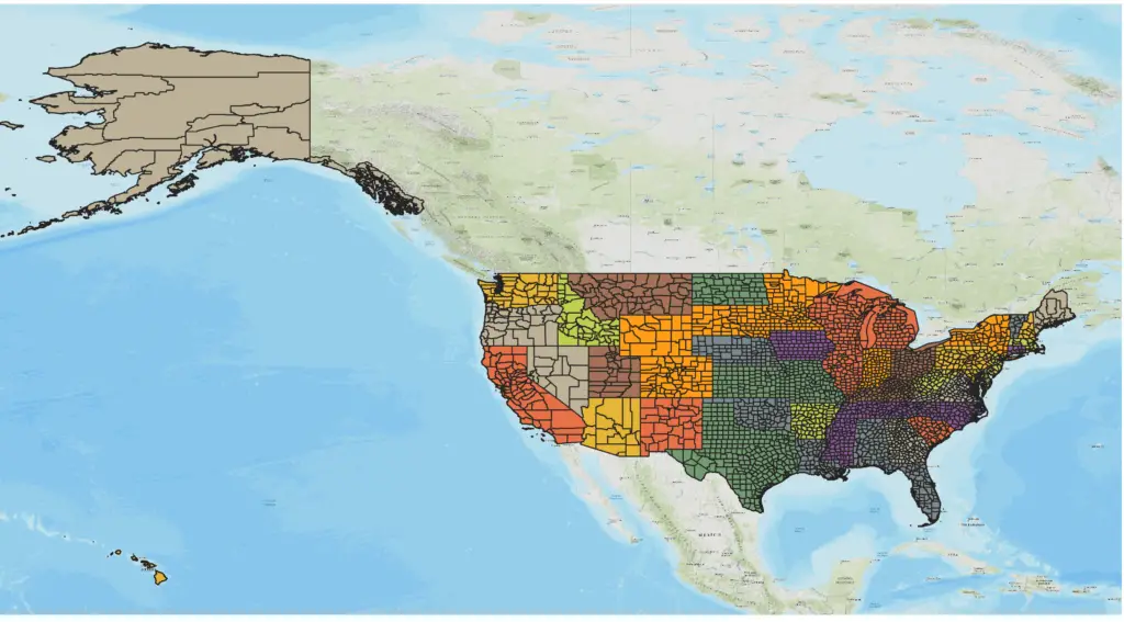
- Choose the specific layers or features you require (e.g., states, counties).
- Navigate to the section for the United States shapefile.
- Click on the Download button from this page that provides shapefiles.
- After downloading, unzip the file.
- Open the .shp file on GIS software (ArcGIS, QGIS).
- Use this shapefile for your research or works.
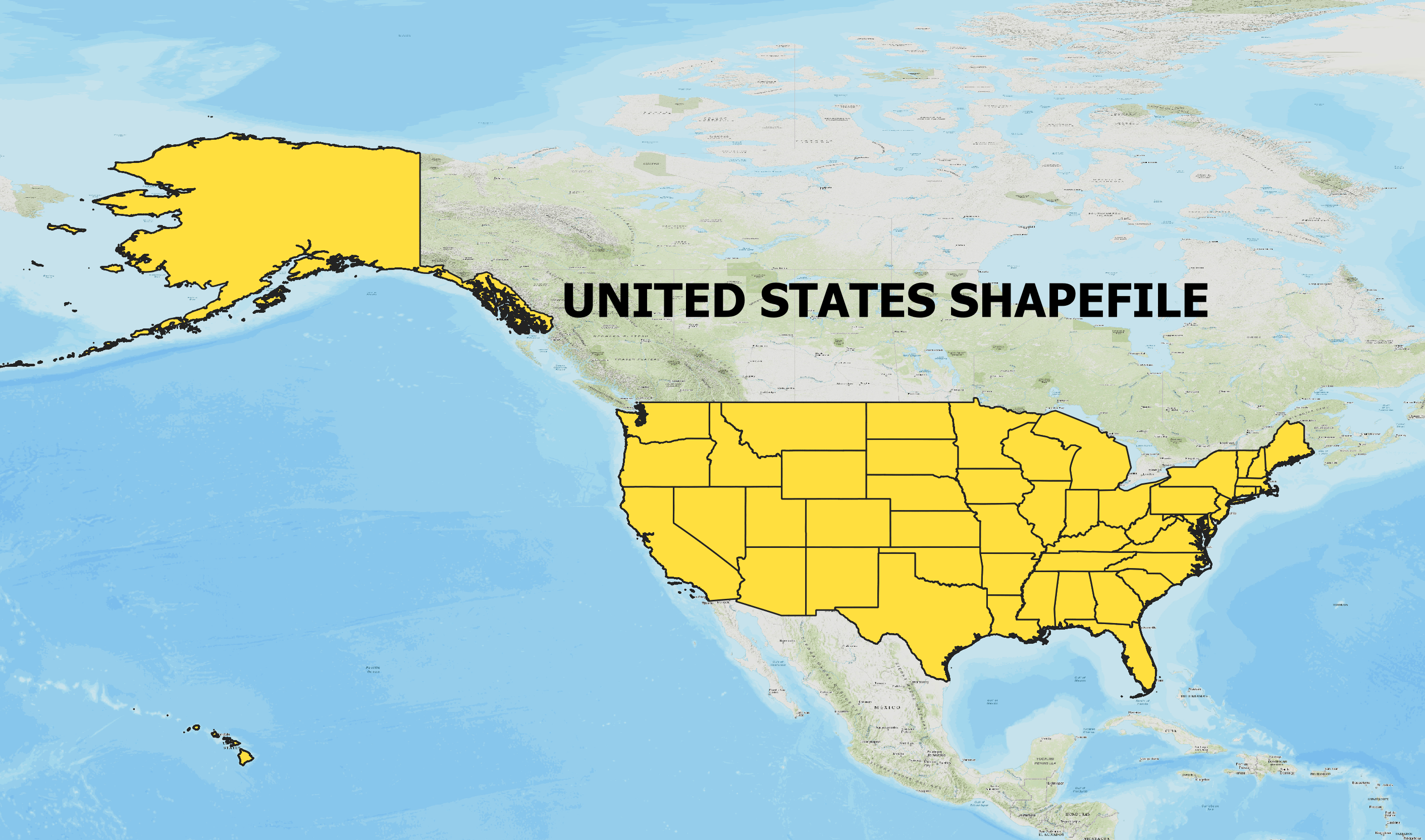
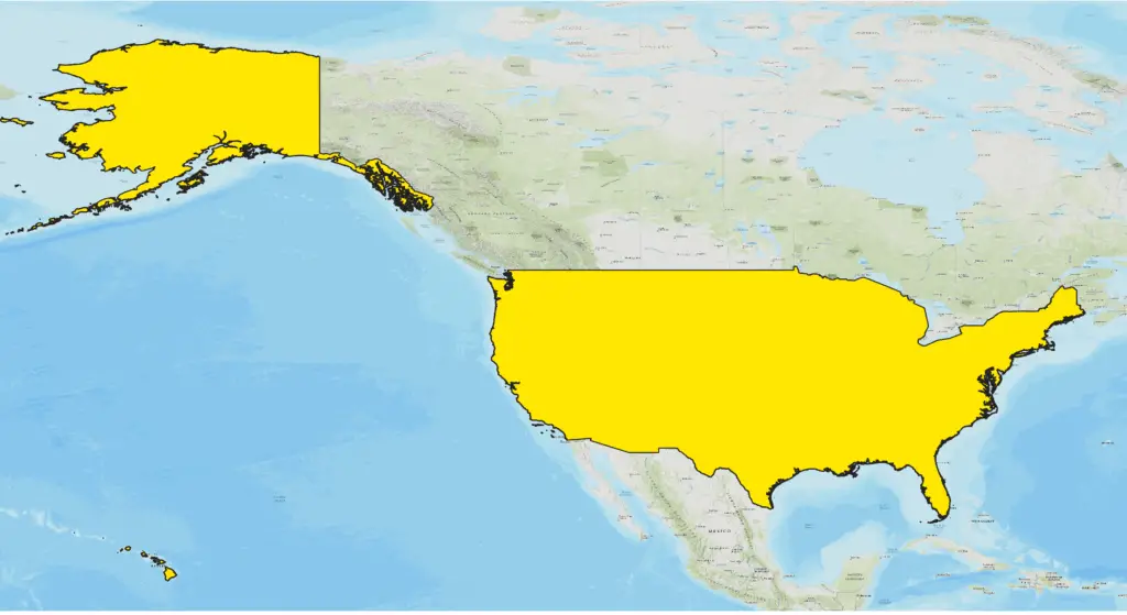
United States Outline Shapefile
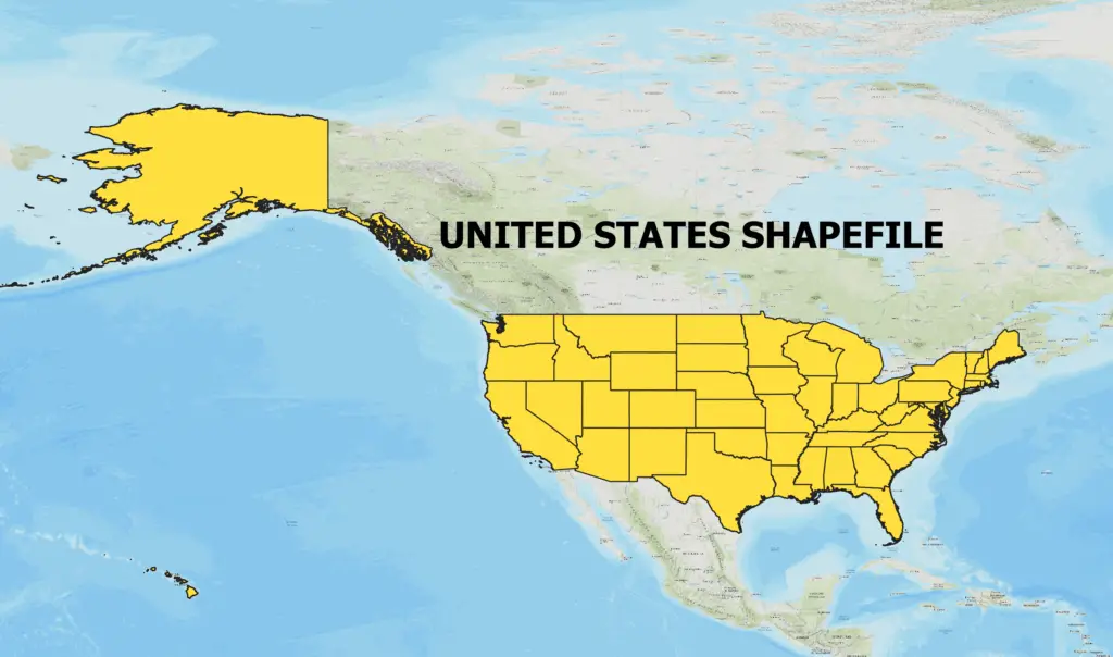
United States Shapefile with all State boundaries
Download States and Countries Shapefile Separately
Click on States name to visit the download page for State wise shapefile.
- Alabama
- Alaska
- Arizona
- Arkansas
- California
- Colorado
- Connecticut
- Delaware
- Florida
- Georgia
- Hawaii
- Idaho
- Illinois
- Indiana
- Iowa
- Kansas
- Kentucky
- Louisiana
- Maine
- Maryland
- Massachusetts
- Michigan
- Minnesota
- Mississippi
- Missouri
- Montana
- Nebraska
- Nevada
- New Hampshire
- New Jersey
- New Mexico
- New York
- North Carolina
- North Dakota
- Ohio
- Oklahoma
- Oregon
- Pennsylvania
- Rhode Island
- South Carolina
- South Dakota
- Tennessee
- Texas
- Utah
- Vermont
- Virginia
- Washington
- West Virginia
- Wisconsin
- Wyoming
- District of Columbia
Download Shapefile of India
What is a Shapefile?
A shapefile is a common geospatial vector data format used in Geographic Information System (GIS) applications. It stores both geometry and attribute data, allowing for the representation and analysis of geographic features such as points, lines, and polygons. Shapefiles consist of multiple files, including a main file with the .shp extension, an index file (.shx), and an attribute data file (.dbf). These files work together to provide a comprehensive representation of spatial data.
Importance of Shapefiles in GIS
Shapefiles play a crucial role in GIS as they enable the storage, manipulation, and analysis of geographic data. GIS professionals rely on shapefiles to create, edit, and visualize maps, conduct spatial analysis, and make informed decisions based on geographical information. With the ability to represent diverse features and attributes, shapefiles offer a flexible and versatile solution for geospatial data management.
Understanding the Components of a Shapefile
A shapefile consists of multiple files that work together to store and represent geographic data. Here are the key components:
- .shp file: This file stores the geometric data of the shapefile, including points, lines, or polygons.
- .shx file: The shape index file allows for efficient access to the geometric features in the shapefile.
- .dbf file: This file contains attribute data associated with each geometric feature.
- .prj file: The projection file specifies the coordinate system and spatial reference of the shapefile.
- Additional files: Depending on the shapefile, there may be supplementary files such as .shp.xml or .cpg.
Exploring Applications of the United States Shapefile
The United States shapefile finds applications in numerous fields, such as urban planning, environmental management, transportation, and demographics. Here are a few examples of how the shapefile can be utilized:
- Urban Planning: Shapefiles enable planners to assess land use patterns, zoning regulations, and infrastructure development within different regions of the United States.
- Environmental Management: The shapefile can assist in analyzing and monitoring ecosystems, protected areas, and natural resource distribution across the country.
- Transportation: By incorporating shapefiles, transportation analysts can evaluate road networks, optimize routes, and plan for efficient transportation systems.
- Demographics: Shapefiles containing population data can support demographic analysis, helping researchers understand population distribution and trends in the United States.
Conclusion
Downloading the United States shapefile is a crucial step for professionals and enthusiasts working with geospatial data. Shapefiles provide a comprehensive representation of geographic features, enabling various applications and analyses. This shapefile will definitely help you with your research work as well as academic purposes.
N.B. All shapefiles are shared here only for academic purposes.