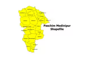
Gis Blog Paschim Medinipur District and Blocks Shapefile (2026) Read More » February 4, 2026 No Comments
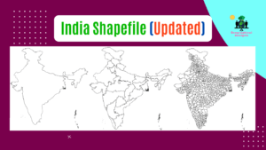
Gis Blog (2026) India Shapefile with all States and Districts Read More » November 26, 2025 No Comments
Empowering the Next Generation: Launching an Education Franchise in Romania Read More » October 23, 2025 No Comments