
Are you working on a project related to the Hooghly district in West Bengal, India? Do you need the Hooghly Blocks Shapefile? If so, then this guide is for you!
We’re excited to offer a free Hooghly blocks shapefile, providing accurate boundaries and attributes for all administrative blocks within the district.
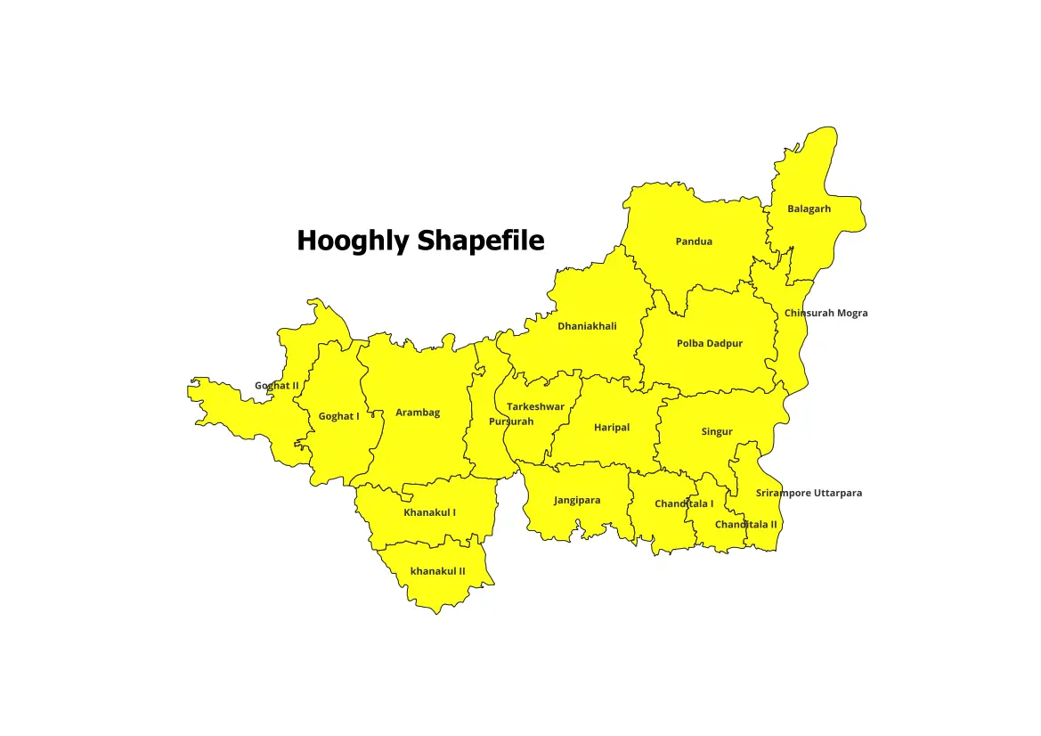
Blocks of Hooghly:
Hooghly currently comprises 18 blocks.
- Arambagh
- Balagarh
- Chanditala-i
- Chanditala-ii
- Chinsurah-Magrah
- Dhaniakhali
- Goghat-i
- Goghat-ii
- Haripal
- Jangipara
- Khanakul-i
- Khanakul-ii
- Pandua
- Polba-Dadpur
- Pursurah
- Singur
- Sirampur-Uttarpara
- Tarakeswar
Visit our Product Page:
How to Download the Hooghly Blocks Shapefile:
- Purchase and save the file to your computer.
- The shapefile will likely be compressed in a ZIP format. Extract the contents of the ZIP file to access the shapefile (.shp) and associated files (.shx, .dbf, etc.).
Use of this Shapefile:
The Hooghly blocks shapefile is compatible with various GIS software programs, such as QGIS, ArcGIS, and GeoPandas. These programs enable you to visualize the shapefile on a map, query its attributes, and perform spatial analysis.
Additional Resources:
- Hooghly District’s official website
- West Bengal Shapefiles including all Districts and Blocks
- India Shapefile with all States and Districts
Please note:
- For academic use; not intended for commercial purposes.
- Cite the source of the shapefile when using it in your work (https://geographicalanalysis.com).
For custom map making (Location map and any other GIS maps):
Mail us: admin@geographicalanalysis.com
Visit contact us page: Click here
Disclaimer: While I strive to provide accurate information, please double-check the data source for the latest updates and licensing terms.