
Celebrate the versatility of QGIS by exploring the top 10 most popular QGIS Plugins that have revolutionized geospatial analysis. These vital tools enhance the functionality of QGIS, elevating its capabilities to new heights. From simplifying complex tasks to extending its mapping capabilities, these plugins are a must-have for any GIS professional or enthusiast. Stay ahead of the curve and discover how these plugins can streamline your workflow and empower your projects with advanced features. Let’s research into the world of QGIS Plugins and unlock their incredible potential.
The OpenLayers Plugin
Mapping base layers
The OpenLayers Plugin in QGIS allows you to easily add various mapping base layers to your projects. Whether you are working on a simple map for visualization or a complex GIS analysis, having access to different base layers can enhance the quality and detail of your work.
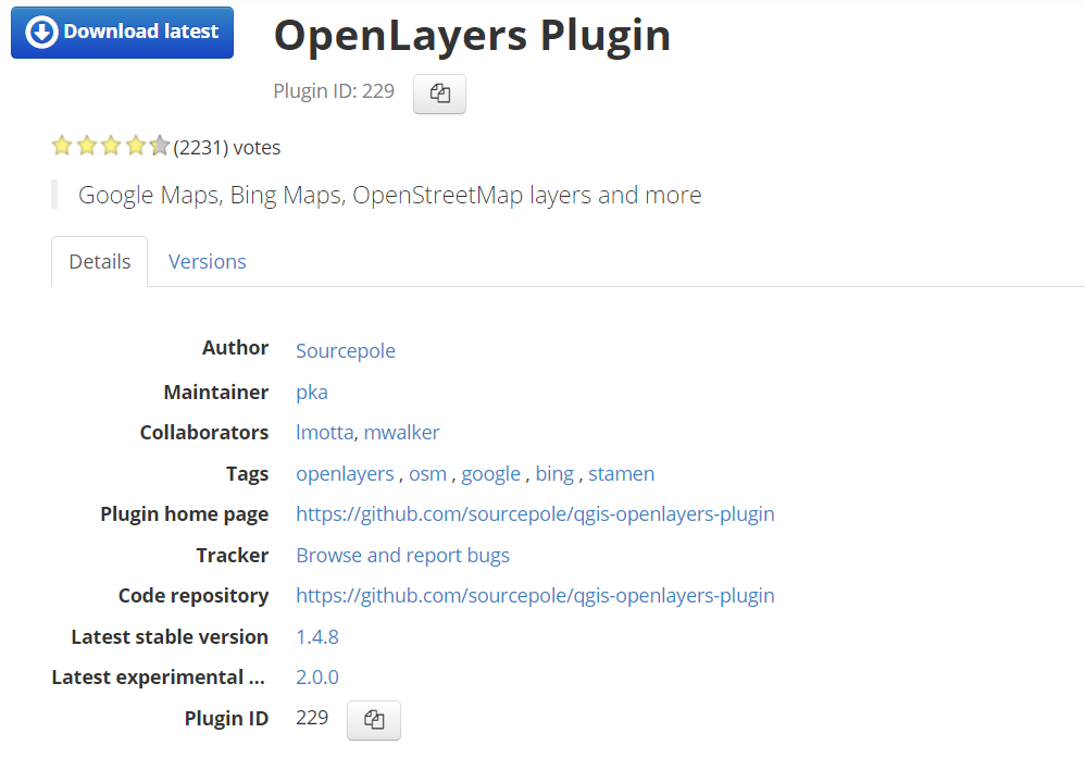
OpenStreetMap, Bing, Google
While the OpenLayers Plugin provides access to a wide range of base layers, some of the most popular choices include OpenStreetMap, Bing, and Google. These base layers offer varying levels of detail and satellite imagery that can be crucial for a diverse set of projects, ranging from urban planning to environmental conservation.
One of the key advantages of using base layers from OpenStreetMap, Bing, and Google is the familiarity and reliability they provide. These platforms are widely used and trusted by both amateur mappers and professional GIS users, ensuring that your maps are built on a solid foundation of accurate geospatial data.
QGIS2threejs
3D visualizations
If you want to take your QGIS maps to the next level, look no further than the QGIS2threejs plugin. This powerful tool allows you to create stunning 3D visualizations of your geographic data with ease. Whether you’re showcasing terrain, buildings, or any other spatial information, this plugin can add a whole new dimension to your maps. The intuitive interface and customizable settings make it a favorite among QGIS users looking to impress with their visualizations.
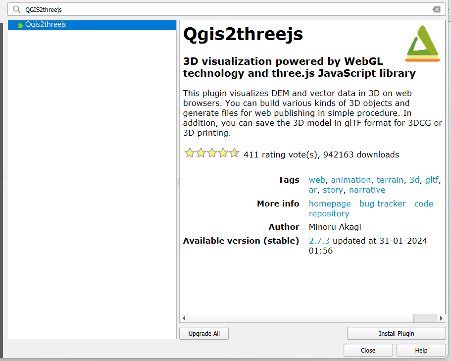
Exporting WebGL
Clearly, one of the standout features of the QGIS2threejs plugin is its ability to export your 3D maps to WebGL format. This allows you to share your interactive visualizations online, giving viewers the ability to explore your data in a browser without the need for additional software. With just a few clicks, you can convert your QGIS project into a dynamic WebGL-ready format, making it easier than ever to showcase your work to a wider audience.
Plus, the WebGL export feature ensures that your 3D maps retain their interactivity and detail, allowing users to zoom, pan, and rotate the visualization to gain a deeper understanding of the data. This can be a game-changer for presentations, educational purposes, or any scenario where engaging, interactive maps are crucial.
TimeManager
Temporal data management
For managing temporal data in QGIS, TimeManager is an important plugin. It enables users to visualize temporal data by animating features based on time attributes. This plugin is particularly useful for analyzing data trends over time, such as tracking the movement of objects, weather patterns, or changes in a landscape over the years.
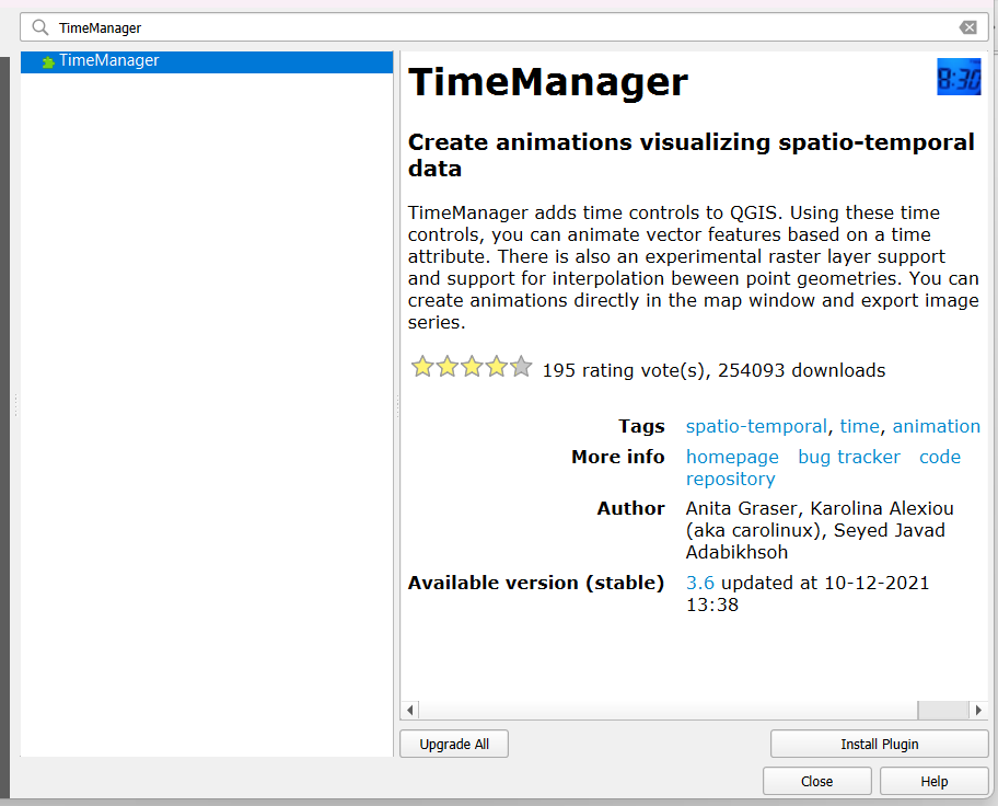
Animation capabilities
With TimeManager, users can create dynamic animations by specifying the time interval between each frame, allowing for a smooth transition between time steps. This feature is beneficial for creating compelling visualizations to convey temporal changes effectively. Users can customize the animation settings to control the speed and appearance of the animation.
Animation capabilities in TimeManager make it easier to interpret complex temporal data and communicate findings to a wider audience. It simplifies the process of creating time-based animations directly within QGIS, eliminating the need for additional software or tools.
Any QGIS user working with temporal data should consider integrating TimeManager into their workflow to improve data visualization and analysis. Its user-friendly interface and powerful animation capabilities make it a valuable tool for exploring and presenting time-dependent spatial data.
QuickMapServices
Unlike other plugins, QuickMapServices is a convenient tool that allows users to easily add basemaps and tiles from different providers in QGIS. It offers a wide range of basemaps that can be easily integrated into your mapping projects, saving you time and effort in searching for the perfect background map.
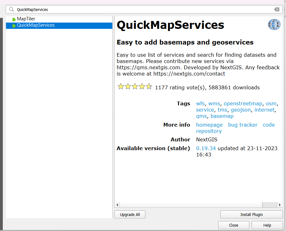
Additional basemaps
Any QGIS user can benefit from the diverse selection of basemaps available in QuickMapServices. From satellite imagery to topographic maps, this plugin provides a variety of options to suit your mapping needs. Whether you are working on a simple project or a complex analysis, having access to different basemaps can enhance the visualization of your data.
User-contributed services
Little do users know that QuickMapServices also supports user-contributed services, expanding the plugin’s capabilities beyond its default offerings. These additional services are contributed by the community and provide unique basemap options that can add a new dimension to your maps. With user-contributed services, you can access specialized maps that cater to specific regions or themes.
To make the most of the QuickMapServices plugin, explore and experiment with different basemaps and user-contributed services to enhance the visual appeal and functionality of your QGIS projects. Remember to verify the credibility and reliability of user-contributed services before using them for important projects to ensure data accuracy.
MMQGIS
Data import/export
Despite its simple interface, MMQGIS is a powerful plugin for QGIS that enhances its data import and export capabilities. Users can easily import various file formats such as CSV, XLS, and KML, and export data to Excel or Google Earth. This makes it a valuable tool for working with different types of spatial data efficiently.
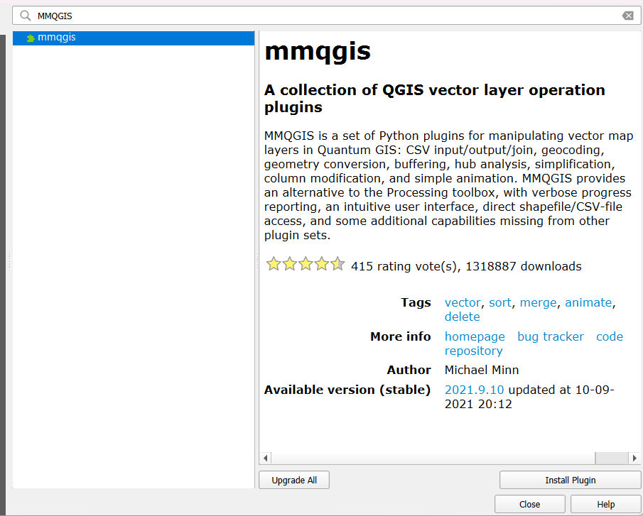
Geoprocessing tools
While MMQGIS may seem basic at first glance, it offers a wide range of geoprocessing tools that can streamline workflows and enhance data analysis. Users can perform tasks such as buffering, simplifying geometries, and creating centroids with ease. This plugin is particularly useful for those working with spatial data who need quick and effective geoprocessing tools.
Little is known about MMQGIS compared to more popular QGIS plugins, but it is a hidden gem that shouldn’t be overlooked. Its simplicity and powerful features make it a valuable addition to any GIS professional’s toolbox.
Semi-Automatic Classification Plugin
Remote Sensing
Many remote sensing professionals rely on the Semi-Automatic Classification Plugin for QGIS to assist in image classification tasks. This plugin provides a wide range of tools and functionalities specifically designed for processing and analyzing remote sensing data.
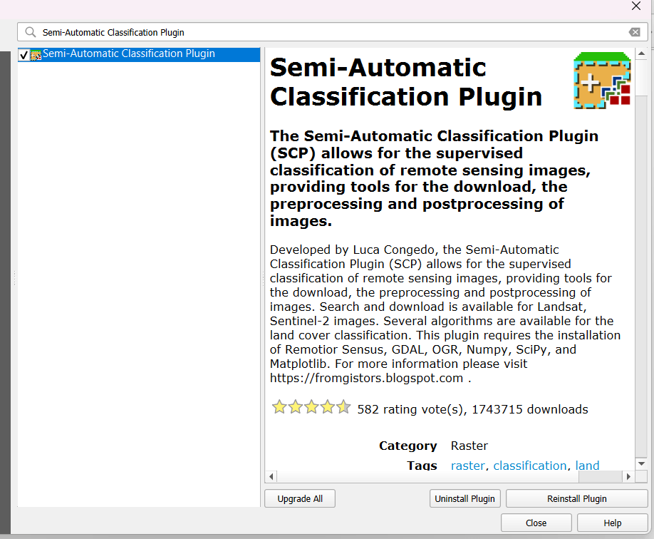
Supervised classification
An necessary feature of the Semi-Automatic Classification Plugin is its capability for supervised classification. This method allows users to define training samples and classify pixels based on these samples, providing accurate and detailed land cover classifications.
While supervised classification can be a complex process, the Semi-Automatic Classification Plugin simplifies this task by offering an intuitive interface and step-by-step guidance. Users can easily train the algorithm and generate detailed classification maps with just a few clicks.
Profile Tool
Elevation profiles
Now, let’s investigate into the Elevation profiles feature of the Profile Tool. This functionality allows users to generate elevation profiles along a line drawn on the map, giving valuable insights into the terrain’s vertical characteristics. By simply drawing a line across the desired area, users can obtain precise elevation data, helping in understanding the topography better.
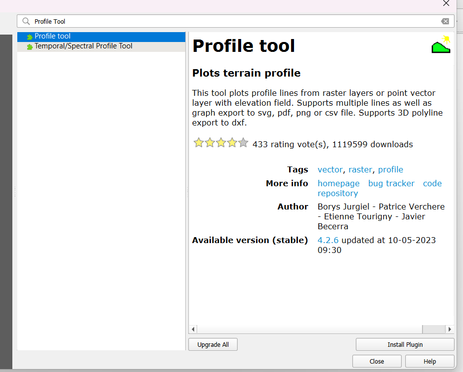
Terrain analysis
Tool provides a comprehensive Terrain analysis tool within the Profile Tool plugin. This tool goes beyond just showing elevation profiles and offers additional tools for analyzing terrain features. Users can calculate slope, aspect, and other terrain indices, enabling a detailed assessment of the landscape. The Terrain analysis feature assists in understanding the landform and planning suitable interventions accordingly.
To make the most of the Terrain analysis feature, users can take advantage of the wide range of visualization options available in the Profile Tool plugin. With customizable settings and interactive displays, users can gain a holistic perspective of the terrain, aiding in informed decision-making during various geospatial projects.
Table Manager
Once again, Table Manager proves to be one of the most useful QGIS plugins for managing attribute tables efficiently. This plugin provides users with a set of tools to streamline the process of handling data within QGIS.
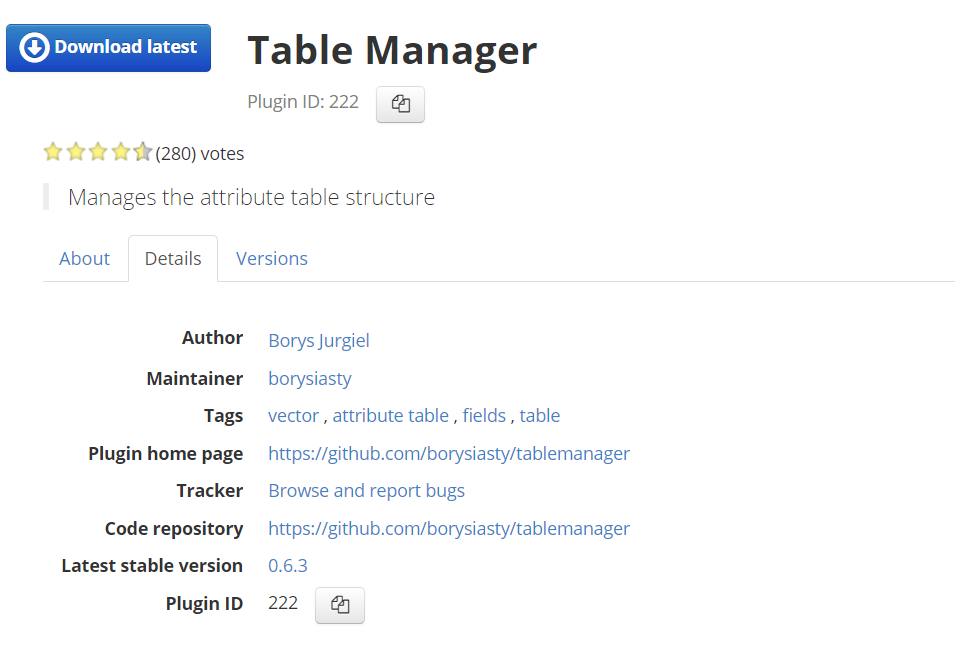
Table modifications
To make table modifications using Table Manager, simply select the desired layer and open the plugin. From there, you can add, delete, or rearrange fields with ease. This plugin also allows for batch field updates, making it a valuable tool for editing attribute tables quickly.
Column management
One of the key features of Table Manager is its column management capabilities. Users can easily rename columns, change data types, and modify field lengths. This functionality is crucial for ensuring data integrity and compatibility with other software applications.
Table Manager is an vital tool for anyone working with large datasets in QGIS. By simplifying table modifications and column management, this plugin helps users save time and avoid errors in their data manipulation processes.
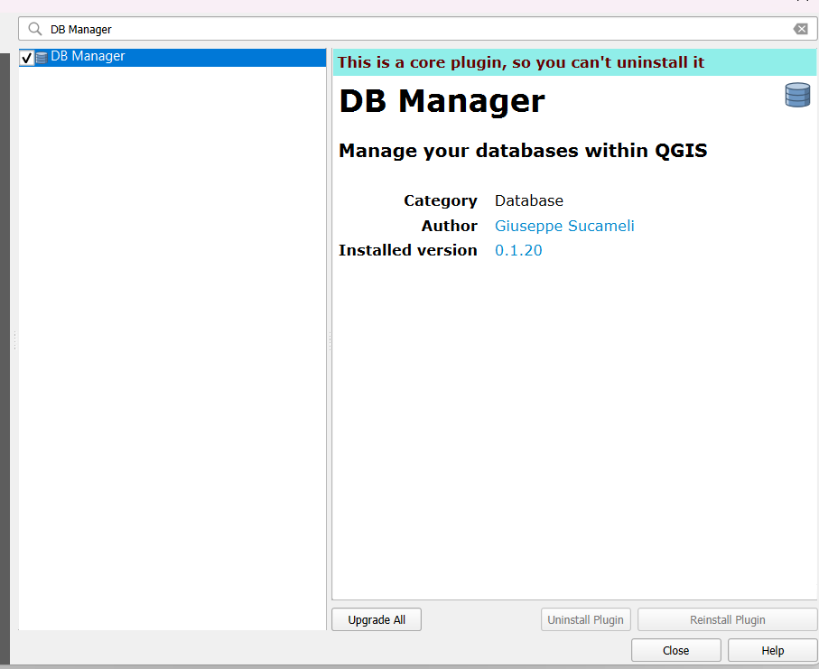
DB Manager
Database integration
Now, let’s talk about the DB Manager plugin in QGIS. This powerful tool allows users to interact with various spatial databases directly within the QGIS interface, enabling seamless integration between spatial data and database management systems.
SQL queries
With the DB Manager plugin, users can write and execute SQL queries on their spatial databases with ease. This feature enables users to extract, manipulate, and analyze data using Structured Query Language (SQL) directly within QGIS.
Clearly, the ability to write SQL queries directly within QGIS opens up a world of possibilities for users looking to perform advanced spatial analysis and data manipulation. Users must exercise caution when executing SQL queries, as improper queries can lead to data corruption or loss.
Any user looking to harness the full power of their spatial databases should familiarize themselves with the SQL query capabilities offered by the DB Manager plugin in QGIS. Proper understanding and usage of SQL queries can significantly enhance the efficiency and effectiveness of spatial data management and analysis within QGIS.
Conclusion
On the whole, the top 10 most popular QGIS plugins offer a wide range of functionalities to enhance your mapping and spatial analysis projects. From data management tools to advanced geoprocessing capabilities, these plugins can significantly improve your productivity and streamline your workflow. By incorporating these plugins into your QGIS environment, you can take advantage of powerful features and customization options that cater to your specific needs. Whether you are a beginner or an experienced user, leveraging these plugins can help you elevate your mapping projects and unlock the full potential of QGIS.
FAQ
Q: What are QGIS Plugins?
A: QGIS Plugins are additional tools that can be added to the QGIS software to enhance its functionality and provide users with more features and capabilities.
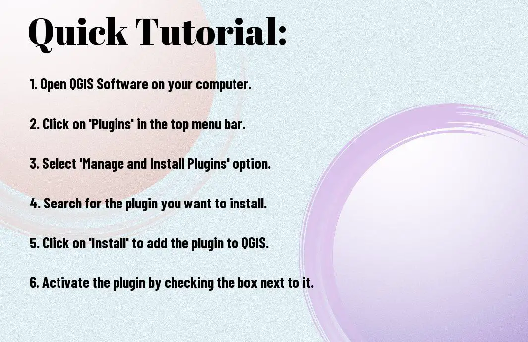
Q: How can I install QGIS Plugins?
A: To install QGIS Plugins, open QGIS, go to the Plugins menu, and select the option to ‘Manage and Install Plugins’. From there, you can search for specific plugins by name or browse through the available plugins.
Q: What are the top 10 most popular QGIS Plugins?
A: The top 10 most popular QGIS Plugins include:
1. QuickMapServices
2. Semi-Automatic Classification Plugin
3. AutoTrace
4. QGIS Cloud
5. OSMDownloader
6. TimeManager
7. Profile Tool
8. Qgis2threejs
9. Point Sampling Tool
10. Photo2Shape